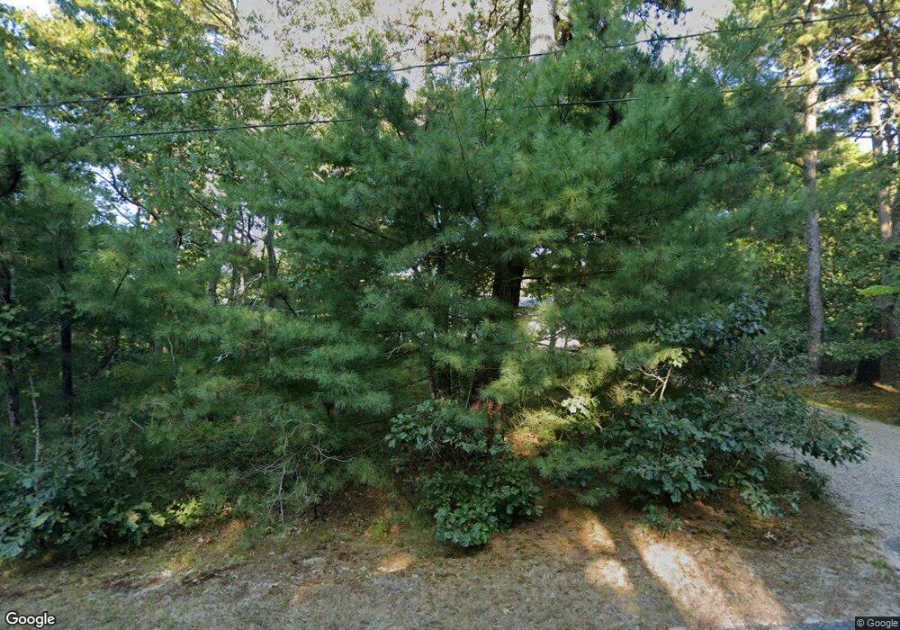
65 River Rd Mashpee, MA 02649
Mashpee AreaEstimated Value: $886,004
About This Home
This home is located at 65 River Rd, Mashpee, MA 02649 and is currently priced at $886,004, approximately $590 per square foot. 65 River Rd is a home located in Barnstable County.
Ownership History
We collect this data history from publicly available records. To have your information removed, we recommend requesting removal directly through your county’s website.
Purchase Details
Purchase Details
Purchase Details
Purchase History
We collect this data history from publicly available records. To have your information removed, we recommend requesting removal directly through your county’s website.
| Date | Buyer | Sale Price | Title Company |
|---|---|---|---|
| -- | -- | ||
| $290,000 | -- | ||
| $137,500 | -- |
Mortgage History
We collect this data history from publicly available records. To have your information removed, we recommend requesting removal directly through your county’s website.
| Date | Status | Borrower | Loan Amount |
|---|---|---|---|
| Previous Owner | $198,000 |
Tax History
We collect this data history from publicly available records. To have your information removed, we recommend requesting removal directly through your county’s website.
| Year | Tax Paid | Tax Assessment Tax Assessment Total Assessment is a certain percentage of the fair market value that is determined by local assessors to be the total taxable value of land and additions on the property. | Land | Improvement |
|---|---|---|---|---|
| 2025 | $5,161 | $779,600 | $377,600 | $402,000 |
| 2024 | $4,670 | $726,300 | $343,300 | $383,000 |
| 2023 | $4,519 | $644,700 | $326,900 | $317,800 |
| 2022 | $4,332 | $530,200 | $265,800 | $264,400 |
| 2021 | $4,506 | $496,800 | $271,300 | $225,500 |
| 2020 | $4,381 | $482,000 | $261,000 | $221,000 |
| 2019 | $4,263 | $471,100 | $261,000 | $210,100 |
| 2018 | $4,154 | $465,700 | $276,300 | $189,400 |
| 2017 | $4,140 | $450,500 | $276,300 | $174,200 |
| 2016 | $4,363 | $472,200 | $307,000 | $165,200 |
| 2015 | $4,494 | $493,300 | $334,700 | $158,600 |
| 2014 | $4,195 | $446,700 | $289,800 | $156,900 |
Map
- 20 Mutiny Way
- 17 Heron Way
- 35 Punkhorn Point Rd
- 10 Shadbush Cir
- 34 Quaker Run Rd
- 35 Spinnaker Dr W
- 28 Quaker Run Rd
- 67 Crawford Rd
- 9 Red Cedar Rd Unit 9
- 9 Red Cedar Rd Unit 9
- 32 Red Cedar Rd Unit 32
- 72 Gold Leaf Ln Unit 72
- 80 Gold Leaf Ln Unit 80
- 7 Gold Leaf Ln Unit 7
- 7 Gold Leaf Ln Unit 7
- 12 Cransbourne Cir
- 16 Gold Leaf Ln Unit 16
- 16 Gold Leaf Ln
- 14 Herring Gull Rd
- 181 Daniels Island Rd
Ask me questions while you tour the home.