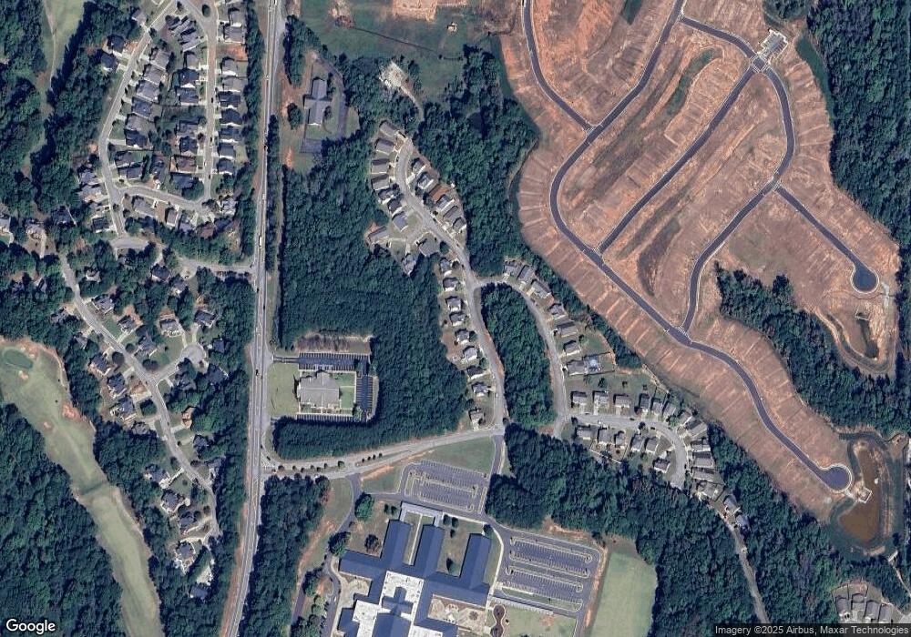
65 Rockingham Dr Unit 1095 Covington, GA 30014
Estimated Value: $276,000 - $309,000
3
Beds
3
Baths
1,891
Sq Ft
$154/Sq Ft
Est. Value
About This Home
This home is located at 65 Rockingham Dr Unit 1095, Covington, GA 30014 and is currently estimated at $292,119, approximately $154 per square foot. 65 Rockingham Dr Unit 1095 is a home located in Newton County with nearby schools including East Newton Elementary School, Cousins Middle School, and Eastside High School.
Ownership History
Date
Name
Owned For
Owner Type
Purchase Details
Closed on
Jul 7, 2016
Sold by
Monroe Schiry
Bought by
Eason Brandy
Current Estimated Value
Home Financials for this Owner
Home Financials are based on the most recent Mortgage that was taken out on this home.
Original Mortgage
$122,735
Outstanding Balance
$98,885
Interest Rate
3.87%
Mortgage Type
FHA
Estimated Equity
$193,234
Purchase Details
Closed on
May 4, 2007
Sold by
B Kay Bldrs Corp
Bought by
Monroe Schiry
Home Financials for this Owner
Home Financials are based on the most recent Mortgage that was taken out on this home.
Original Mortgage
$134,010
Interest Rate
6.12%
Mortgage Type
New Conventional
Purchase Details
Closed on
Jan 5, 2006
Sold by
Clay Robertson Inc
Bought by
B Kay Bldrs Corp
Home Financials for this Owner
Home Financials are based on the most recent Mortgage that was taken out on this home.
Original Mortgage
$1,100,250
Interest Rate
6.18%
Mortgage Type
New Conventional
Create a Home Valuation Report for This Property
The Home Valuation Report is an in-depth analysis detailing your home's value as well as a comparison with similar homes in the area
Home Values in the Area
Average Home Value in this Area
Purchase History
| Date | Buyer | Sale Price | Title Company |
|---|---|---|---|
| Eason Brandy | $125,000 | -- | |
| Monroe Schiry | $148,900 | -- | |
| B Kay Bldrs Corp | $410,000 | -- |
Source: Public Records
Mortgage History
| Date | Status | Borrower | Loan Amount |
|---|---|---|---|
| Open | Eason Brandy | $122,735 | |
| Previous Owner | Monroe Schiry | $134,010 | |
| Previous Owner | B Kay Bldrs Corp | $1,100,250 |
Source: Public Records
Tax History Compared to Growth
Tax History
| Year | Tax Paid | Tax Assessment Tax Assessment Total Assessment is a certain percentage of the fair market value that is determined by local assessors to be the total taxable value of land and additions on the property. | Land | Improvement |
|---|---|---|---|---|
| 2024 | $2,379 | $97,760 | $18,000 | $79,760 |
| 2023 | $2,614 | $100,200 | $8,800 | $91,400 |
| 2022 | $2,348 | $90,400 | $8,800 | $81,600 |
| 2021 | $1,976 | $69,040 | $8,800 | $60,240 |
| 2020 | $2,025 | $64,160 | $8,800 | $55,360 |
| 2019 | $1,821 | $57,280 | $8,800 | $48,480 |
| 2018 | $1,764 | $55,280 | $8,800 | $46,480 |
| 2017 | $2,296 | $70,760 | $6,800 | $63,960 |
| 2016 | $1,329 | $38,720 | $3,800 | $34,920 |
| 2015 | $1,085 | $31,600 | $2,400 | $29,200 |
| 2014 | $1,081 | $31,600 | $0 | $0 |
Source: Public Records
Map
Nearby Homes
- 9122 Golfview Cir
- 10119 Azalea Dr
- 16653 Highway 36
- 9183 Golfview Cir
- 9208 Golfview Cir
- 215 Eagles Pkwy
- 13593 Whitman Ln
- 8384 Fairway Dr
- 13598 Whitman Ln
- 13592 Whitman Ln
- 13604 Whitman Ln
- 11067 Suria Dr
- 11134 Suria Dr
- 11085 Suria Dr
- 11075 Suria Dr
- 11128 Suria Dr
- 11098 Suria Dr
- 11124 Suria Dr
- 11071 Suria Dr
- 65 Rockingham Dr
- 55 Rockingham Dr
- 55 Rockingham Dr Unit 5
- 55 Rockingham Dr Unit 1
- 75 Rockingham Dr
- 45 Rockingham Dr
- 85 Rockingham Dr
- 35 Rockingham Dr
- 95 Rockingham Dr
- 25 Rockingham Ct
- 25 Rockingham Ct Unit 11
- 25 Rockingham Dr
- 105 Rockingham Dr Unit 10
- 105 Rockingham Dr
- 15 Rockingham Dr Unit 1
- 15 Rockingham Dr
- 15 Rockingham Dr
- 80 Camden Place
- 70 Camden Place
- 0 Rockingham Ct Unit 8331214
