65 Rolling Cloud Dr Louisburg, NC 27549
Estimated Value: $239,000 - $361,004
3
Beds
2
Baths
1,392
Sq Ft
$201/Sq Ft
Est. Value
About This Home
This home is located at 65 Rolling Cloud Dr, Louisburg, NC 27549 and is currently estimated at $279,751, approximately $200 per square foot. 65 Rolling Cloud Dr is a home located in Franklin County with nearby schools including Louisburg Elementary School, Terrell Lane Middle School, and Louisburg High School.
Ownership History
Date
Name
Owned For
Owner Type
Purchase Details
Closed on
May 19, 2006
Sold by
Puckett Stephen D and Puckett Deborah S
Bought by
Eaton Mickey Quinton and Eaton Joyce K
Current Estimated Value
Home Financials for this Owner
Home Financials are based on the most recent Mortgage that was taken out on this home.
Original Mortgage
$128,900
Outstanding Balance
$74,714
Interest Rate
6.51%
Mortgage Type
New Conventional
Estimated Equity
$205,037
Create a Home Valuation Report for This Property
The Home Valuation Report is an in-depth analysis detailing your home's value as well as a comparison with similar homes in the area
Home Values in the Area
Average Home Value in this Area
Purchase History
| Date | Buyer | Sale Price | Title Company |
|---|---|---|---|
| Eaton Mickey Quinton | $133,000 | None Available |
Source: Public Records
Mortgage History
| Date | Status | Borrower | Loan Amount |
|---|---|---|---|
| Open | Eaton Mickey Quinton | $128,900 |
Source: Public Records
Tax History Compared to Growth
Tax History
| Year | Tax Paid | Tax Assessment Tax Assessment Total Assessment is a certain percentage of the fair market value that is determined by local assessors to be the total taxable value of land and additions on the property. | Land | Improvement |
|---|---|---|---|---|
| 2025 | $1,538 | $236,970 | $62,400 | $174,570 |
| 2024 | $1,538 | $236,970 | $62,400 | $174,570 |
| 2023 | $1,339 | $139,280 | $27,500 | $111,780 |
| 2022 | $1,329 | $139,280 | $27,500 | $111,780 |
| 2021 | $1,343 | $139,280 | $27,500 | $111,780 |
| 2020 | $1,337 | $139,280 | $27,500 | $111,780 |
| 2019 | $1,323 | $139,280 | $27,500 | $111,780 |
| 2018 | $1,322 | $139,280 | $27,500 | $111,780 |
| 2017 | $1,308 | $125,580 | $25,000 | $100,580 |
| 2016 | $1,352 | $125,580 | $25,000 | $100,580 |
| 2015 | $1,345 | $125,580 | $25,000 | $100,580 |
| 2014 | $1,254 | $125,580 | $25,000 | $100,580 |
Source: Public Records
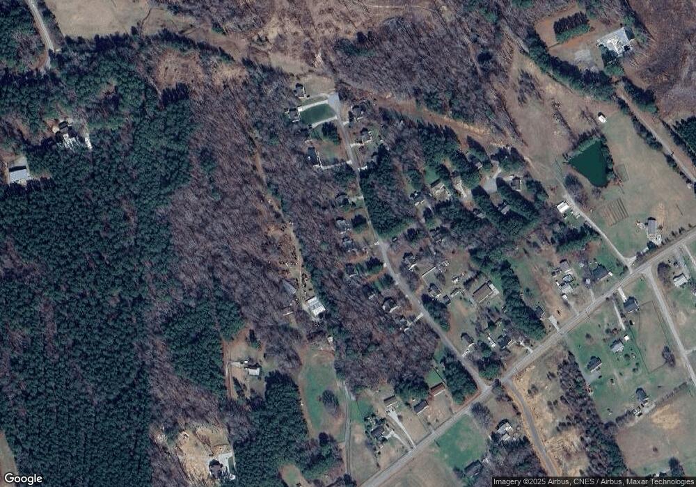
Map
Nearby Homes
- 55 Leisure Ln
- 70 Leisure Ln
- 45 Leisure Ln
- 109 Drew St
- 7.69 Acres N Carolina 561
- 23.20 Acre N Carolina 561
- 10.26 Acre N Carolina 561
- 376 T K Allen Rd
- 491 Nc 56 Hwy E
- 0-0 Halifax Rd
- 311 Nc 56 Hwy E
- 191 Nc 56 Hwy E
- 125 Davis St
- 126 Person St
- 612 N Main St
- 604 N Main St
- 121 Tanglewood Dr
- 209 Tanglewood Dr
- 101 Briarwood Ct
- 205 Williamson St
- 75 Rolling Cloud Dr
- 55 Rolling Cloud Dr
- 45 Rolling Cloud Dr
- 30 Rolling Cloud Dr
- 35 Rolling Cloud Dr
- 95 Rolling Cloud Dr
- 25 Cedar Bluff Ln
- 90 Rolling Cloud Dr
- 25 Rolling Cloud Dr
- 20 Cedar Bluff Ln
- 20 Rolling Cloud Dr
- 100 Rolling Cloud Dr
- 35 Cedar Bluff Ln
- 115 Rolling Cloud Dr
- 110 Rolling Cloud Dr
- 45 Cedar Bluff Ln
- 125 Rolling Cloud Dr
- 40 Cedar Bluff Ln
- 691 Ronald Tharrington Rd
- 835 Ronald Tharrington Rd