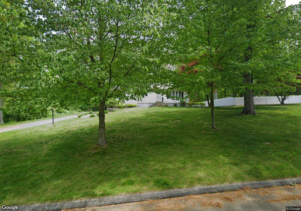
65 Rolling Ridge Rd Shelton, CT 06484
Estimated Value: $509,000 - $613,000
4
Beds
3
Baths
1,248
Sq Ft
$441/Sq Ft
Est. Value
About This Home
This home is located at 65 Rolling Ridge Rd, Shelton, CT 06484 and is currently estimated at $550,677, approximately $441 per square foot. 65 Rolling Ridge Rd is a home located in Fairfield County with nearby schools including Perry Hill School, Shelton Intermediate School, and Shelton High School.
Ownership History
Date
Name
Owned For
Owner Type
Purchase Details
Closed on
Mar 28, 2014
Sold by
Diaz Hector
Bought by
Diaz Sandra
Current Estimated Value
Purchase Details
Closed on
Jan 25, 2013
Sold by
Diaz Hector
Bought by
Diaz Sandra
Home Financials for this Owner
Home Financials are based on the most recent Mortgage that was taken out on this home.
Original Mortgage
$311,347
Interest Rate
3.62%
Mortgage Type
FHA
Purchase Details
Closed on
Sep 23, 2008
Sold by
Varrone Anne
Bought by
Diaz Hectro and Porter Sandra
Create a Home Valuation Report for This Property
The Home Valuation Report is an in-depth analysis detailing your home's value as well as a comparison with similar homes in the area
Home Values in the Area
Average Home Value in this Area
Purchase History
| Date | Buyer | Sale Price | Title Company |
|---|---|---|---|
| Diaz Sandra | -- | -- | |
| Diaz Sandra | -- | -- | |
| Diaz Sandra | -- | -- | |
| Diaz Sandra | -- | -- | |
| Diaz Hectro | $330,000 | -- | |
| Diaz Hectro | $330,000 | -- |
Source: Public Records
Mortgage History
| Date | Status | Borrower | Loan Amount |
|---|---|---|---|
| Previous Owner | Diaz Hectro | $311,347 |
Source: Public Records
Tax History Compared to Growth
Tax History
| Year | Tax Paid | Tax Assessment Tax Assessment Total Assessment is a certain percentage of the fair market value that is determined by local assessors to be the total taxable value of land and additions on the property. | Land | Improvement |
|---|---|---|---|---|
| 2025 | $4,523 | $240,310 | $110,880 | $129,430 |
| 2024 | $4,609 | $240,310 | $110,880 | $129,430 |
| 2023 | $4,198 | $240,310 | $110,880 | $129,430 |
| 2022 | $4,198 | $240,310 | $110,880 | $129,430 |
| 2021 | $3,824 | $173,600 | $59,710 | $113,890 |
| 2020 | $3,892 | $173,600 | $59,710 | $113,890 |
| 2019 | $3,892 | $173,600 | $59,710 | $113,890 |
| 2017 | $3,856 | $173,600 | $59,710 | $113,890 |
| 2015 | $3,896 | $174,650 | $63,770 | $110,880 |
| 2014 | $3,896 | $174,650 | $63,770 | $110,880 |
Source: Public Records
Map
Nearby Homes
- 19 Robin Ln
- 57 Gray Rock Rd
- 3 Pam Bar Dr
- 50 Hemlock Trail
- 225 Nichols Ave
- 2449 Huntington Turnpike
- 205 Nichols Ave
- 2428 Huntington Turnpike
- 33 Walnut Tree Hill Rd
- 28 Strawberry Ln
- 0 Pinewood Trail
- 184 Hurd Rd
- 1 Steeple View Ln
- 2 Steeple View Ln
- 14 Steeple View Ln
- 36 Moose Hill Rd
- 4 Roaring Brook Ln
- 93 Putting Green Rd N
- 121 Lewis Rd
- 119 Lewis Rd
- 7 Gene Dr
- 6 Gene Dr
- 69 Rolling Ridge Rd
- 61 Rolling Ridge Rd
- 11 Gene Dr
- 62 Rolling Ridge Rd
- 10 Gene Dr
- 10 Gene Dr Unit 2
- 66 Rolling Ridge Rd
- 22 Buttercup Ln
- 74 Rolling Ridge Rd
- 70 Rolling Ridge Rd
- 58 Rolling Ridge Rd
- 14 Gene Dr
- 57 Rolling Ridge Rd
- 79 Rolling Ridge Rd
- 54 Rolling Ridge Rd
- 18 Buttercup Ln
- 53 Rolling Ridge Rd
- 18 Gene Dr