65 Saddle Ridge Dr Dallas, PA 18612
Estimated Value: $396,819 - $533,000
--
Bed
--
Bath
--
Sq Ft
0.34
Acres
About This Home
This home is located at 65 Saddle Ridge Dr, Dallas, PA 18612 and is currently estimated at $466,205. 65 Saddle Ridge Dr is a home with nearby schools including Dallas Senior High School.
Ownership History
Date
Name
Owned For
Owner Type
Purchase Details
Closed on
Jun 8, 2012
Sold by
Eastern Communities Limited Partnership
Bought by
Mackay Sandy G and Mackay Carmel
Current Estimated Value
Home Financials for this Owner
Home Financials are based on the most recent Mortgage that was taken out on this home.
Original Mortgage
$223,441
Outstanding Balance
$157,803
Interest Rate
3.85%
Mortgage Type
New Conventional
Estimated Equity
$308,402
Create a Home Valuation Report for This Property
The Home Valuation Report is an in-depth analysis detailing your home's value as well as a comparison with similar homes in the area
Home Values in the Area
Average Home Value in this Area
Purchase History
| Date | Buyer | Sale Price | Title Company |
|---|---|---|---|
| Mackay Sandy G | $60,755 | None Available |
Source: Public Records
Mortgage History
| Date | Status | Borrower | Loan Amount |
|---|---|---|---|
| Open | Mackay Sandy G | $223,441 |
Source: Public Records
Tax History Compared to Growth
Tax History
| Year | Tax Paid | Tax Assessment Tax Assessment Total Assessment is a certain percentage of the fair market value that is determined by local assessors to be the total taxable value of land and additions on the property. | Land | Improvement |
|---|---|---|---|---|
| 2025 | $7,161 | $300,800 | $26,500 | $274,300 |
| 2024 | $6,855 | $300,800 | $26,500 | $274,300 |
| 2023 | $6,704 | $300,800 | $26,500 | $274,300 |
| 2022 | $4,028 | $300,800 | $26,500 | $274,300 |
| 2021 | $6,423 | $300,800 | $26,500 | $274,300 |
| 2020 | $6,223 | $292,800 | $26,500 | $266,300 |
| 2019 | $6,108 | $292,800 | $26,500 | $266,300 |
| 2018 | $6,049 | $292,800 | $26,500 | $266,300 |
| 2017 | $5,962 | $292,800 | $26,500 | $266,300 |
| 2016 | -- | $292,800 | $26,500 | $266,300 |
| 2015 | -- | $292,800 | $26,500 | $266,300 |
| 2014 | -- | $292,800 | $26,500 | $266,300 |
Source: Public Records
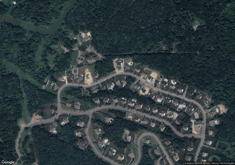
Map
Nearby Homes
- The Burlington Plan at Saddle Ridge
- The Rutherford Plan at Saddle Ridge
- The Edison Plan at Saddle Ridge
- The Abilene Plan at Saddle Ridge
- The Clarksville Plan at Saddle Ridge
- The Standford Plan at Saddle Ridge
- The Baywood Plan at Saddle Ridge
- The Vicksburg Plan at Saddle Ridge
- The Frankford Plan at Saddle Ridge
- The Nottingham Plan at Saddle Ridge
- The Hatteras Plan at Saddle Ridge
- The Monroe Plan at Saddle Ridge
- The Cumberland Plan at Saddle Ridge
- The Roanoke Plan at Saddle Ridge
- The Cameron Plan at Saddle Ridge
- The Brookville Plan at Saddle Ridge
- The Oakridge Plan at Saddle Ridge
- The Greenville Plan at Saddle Ridge
- The Meridian Plan at Saddle Ridge
- The Monterrey Plan at Saddle Ridge
- 73 Saddle Ridge Dr
- 61 Saddle Ridge Dr
- 61 Saddle Ridge (Lot 53) Dr
- 46 Saddle Ridge Dr
- 57 Saddle Ridge Dr
- 89 Saddle Ridge Dr
- 228 Pennbrook Ln
- 104 Saddle Ridge Dr
- 224 Pennbrook Ln
- 81 Saddle Ridge Dr
- 72 Saddle Ridge Dr
- 226 Pennbrook Ln
- 220 Pennbrook Ln
- 38 Saddle Ridge Dr
- 92 Saddle Ridge Dr
- 53 Saddle Ridge Dr
- 232 Pennbrook Ln
- 56 Saddle Ridge Dr
- 76 Saddle Ridge Dr
- 216 Pennbrook Ln