65 Sherbrook St Bristol, CT 06010
South Bristol NeighborhoodEstimated Value: $351,000 - $373,000
4
Beds
2
Baths
1,665
Sq Ft
$217/Sq Ft
Est. Value
About This Home
This home is located at 65 Sherbrook St, Bristol, CT 06010 and is currently estimated at $361,815, approximately $217 per square foot. 65 Sherbrook St is a home located in Hartford County with nearby schools including Chippens Hill Middle School, Bristol Central High School, and Immanuel Lutheran School.
Ownership History
Date
Name
Owned For
Owner Type
Purchase Details
Closed on
Jan 16, 2009
Sold by
Us Bank Na
Bought by
Donnelly James F and Donnelly Luis
Current Estimated Value
Purchase Details
Closed on
Dec 24, 2008
Sold by
Hamm Karen A
Bought by
Us Bank Na
Purchase Details
Closed on
Apr 16, 2001
Sold by
Blake Eunice L
Bought by
Hamm Michael P and Hamm Karen A
Create a Home Valuation Report for This Property
The Home Valuation Report is an in-depth analysis detailing your home's value as well as a comparison with similar homes in the area
Home Values in the Area
Average Home Value in this Area
Purchase History
| Date | Buyer | Sale Price | Title Company |
|---|---|---|---|
| Donnelly James F | $139,000 | -- | |
| Us Bank Na | -- | -- | |
| Hamm Michael P | $113,000 | -- |
Source: Public Records
Mortgage History
| Date | Status | Borrower | Loan Amount |
|---|---|---|---|
| Previous Owner | Hamm Michael P | $43,289 | |
| Previous Owner | Hamm Michael P | $22,285 |
Source: Public Records
Tax History Compared to Growth
Tax History
| Year | Tax Paid | Tax Assessment Tax Assessment Total Assessment is a certain percentage of the fair market value that is determined by local assessors to be the total taxable value of land and additions on the property. | Land | Improvement |
|---|---|---|---|---|
| 2025 | $5,743 | $170,170 | $45,500 | $124,670 |
| 2024 | $5,420 | $170,170 | $45,500 | $124,670 |
| 2023 | $5,165 | $170,170 | $45,500 | $124,670 |
| 2022 | $4,542 | $118,440 | $34,510 | $83,930 |
| 2021 | $4,542 | $118,440 | $34,510 | $83,930 |
| 2020 | $4,542 | $118,440 | $34,510 | $83,930 |
| 2019 | $4,507 | $118,440 | $34,510 | $83,930 |
| 2018 | $4,368 | $118,440 | $34,510 | $83,930 |
| 2017 | $4,383 | $121,660 | $49,280 | $72,380 |
| 2016 | $4,383 | $121,660 | $49,280 | $72,380 |
| 2015 | $4,211 | $121,660 | $49,280 | $72,380 |
| 2014 | $4,211 | $121,660 | $49,280 | $72,380 |
Source: Public Records
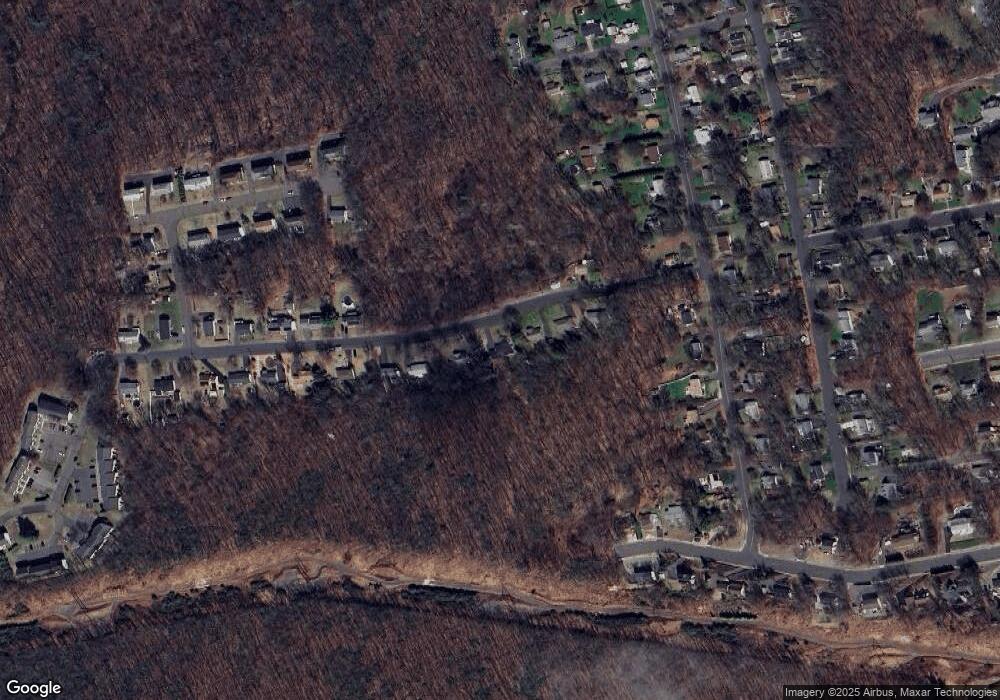
Map
Nearby Homes
- 202 Pleasant View Ave
- 267 Hull St
- 102 East Rd
- 39 Eugene Ave
- 160 Wolcott St
- 38 Porter Ct
- 489 Wolcott St Unit 46
- 489 Wolcott St Unit 47
- 489 Wolcott St Unit 25
- 489 Wolcott St Unit 85
- 40 South St Unit 25
- 53 Harvest Ln
- 34 Edward St
- 109 Seymour St
- 95 Tuttle St
- 37 Gridley St
- 93 South St
- 82 Pratt St
- 105 Greene St
- 13 Edgewood St
- 49 Sherbrook St
- 75 Sherbrook St
- 43 Sherbrook St
- 87 Sherbrook St
- 31 Sherbrook St
- 97 Sherbrook St
- 30 Sherbrook St
- 104 Sherbrook St
- 109 Sherbrook St
- 136 Greystone Ave
- 176 Greystone Ave
- 114 Sherbrook St
- 218 Greystone Ave
- 121 Sherbrook St
- 186 Greystone Ave
- 126 Greystone Ave
- 196 Greystone Ave
- 160 Greystone Ave
- 206 Greystone Ave
- 99 Skyridge Rd