Estimated Value: $116,000 - $185,000
3
Beds
2
Baths
1,116
Sq Ft
$144/Sq Ft
Est. Value
About This Home
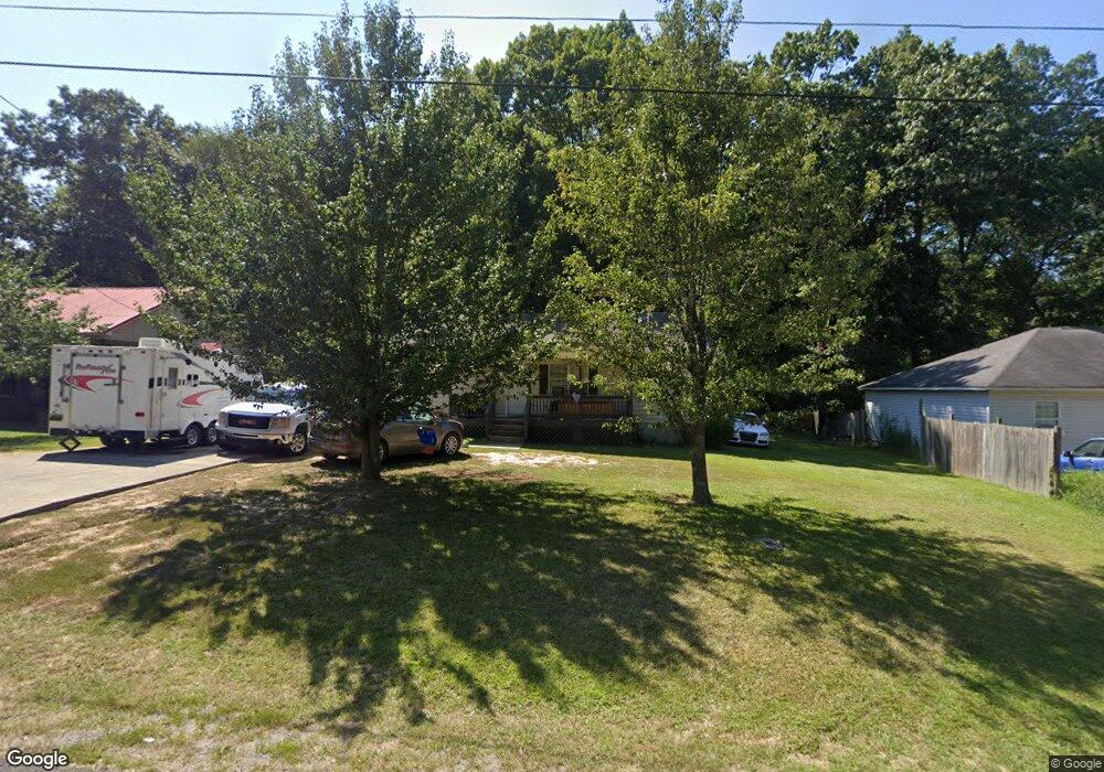
This home is located at 65 Smith Cir, Arab, AL 35016 and is currently estimated at $160,341, approximately $143 per square foot. 65 Smith Cir is a home located in Marshall County with nearby schools including Brindlee Mountain Elementary School, Brindlee Mountain Primary School, and Brindlee Mt. High School.
Ownership History
Date
Name
Owned For
Owner Type
Purchase Details
Closed on
Oct 28, 2025
Sold by
Stephens Phillip G
Bought by
Stephens Phillip G and Allred Savannah Stephens
Current Estimated Value
Purchase Details
Closed on
Jun 7, 2024
Sold by
Liles George and Liles Norma
Bought by
Stephens Phillip G
Purchase Details
Closed on
Jul 13, 2012
Sold by
Stephens Phillip G
Bought by
Liles George and Liles Norma
Purchase Details
Closed on
Jun 22, 2010
Sold by
Fannie Mae
Bought by
Liles George and Liles Norma
Purchase Details
Closed on
Mar 2, 2006
Sold by
Richards Kristie L
Bought by
Hill Lesia A
Home Financials for this Owner
Home Financials are based on the most recent Mortgage that was taken out on this home.
Original Mortgage
$15,380
Interest Rate
6.19%
Mortgage Type
Credit Line Revolving
Create a Home Valuation Report for This Property
The Home Valuation Report is an in-depth analysis detailing your home's value as well as a comparison with similar homes in the area
Purchase History
| Date | Buyer | Sale Price | Title Company |
|---|---|---|---|
| Stephens Phillip G | -- | None Listed On Document | |
| Stephens Phillip G | $65,000 | None Listed On Document | |
| Liles George | -- | None Available | |
| Liles George | $55,000 | None Available | |
| Hill Lesia A | -- | None Available |
Source: Public Records
Mortgage History
| Date | Status | Borrower | Loan Amount |
|---|---|---|---|
| Previous Owner | Hill Lesia A | $15,380 | |
| Previous Owner | Hill Lesia A | $61,520 |
Source: Public Records
Tax History
| Year | Tax Paid | Tax Assessment Tax Assessment Total Assessment is a certain percentage of the fair market value that is determined by local assessors to be the total taxable value of land and additions on the property. | Land | Improvement |
|---|---|---|---|---|
| 2024 | $264 | $18,560 | $0 | $0 |
| 2023 | $264 | $17,580 | $700 | $16,880 |
| 2022 | $638 | $17,020 | $0 | $0 |
| 2021 | $585 | $15,600 | $0 | $0 |
| 2020 | $528 | $14,080 | $0 | $0 |
| 2017 | $507 | $13,520 | $0 | $0 |
| 2015 | -- | $5,340 | $0 | $0 |
| 2014 | -- | $5,340 | $0 | $0 |
Source: Public Records
Map
Nearby Homes
- 769 Mayberry Ln
- 40 Walley Dr
- 1898 Lowery Rd NE
- .68 acres Eddy Scant City Rd
- 8767 Al Highway 69
- 199 Twin Lakes Dr
- 6981 Brashiers Chapel Rd
- 555 Scant City Rd
- 346 Haden Ln
- 6460 Brashiers Chapel Rd
- 206 Rolling Hills Dr
- 1025 Berkley Rd
- 6.3 Acres Williams Rd
- 640 Apollo Rd
- 1312 Hickory Ln NE
- 1425 Hickory Ln NE
- 803 Mobb Hill Rd
- 58 Sweet Home Rd
- 1808 Union Grove Rd
- 0 Eddy Scant City Rd Unit 21445464
- 75 Smith Cir
- 51 Smith Cir
- 95 Smith Cir
- 50 Smith Cir
- 21 Smith Cir
- 3505 Eddy Scant City Rd
- 3475 Eddy Scant City Rd
- 3565 Eddy Scant City Rd
- 3455 Eddy Scant City Rd
- 3435 Eddy Scant City Rd
- 3516 Eddy Scant City Rd
- 3500 Eddy Scant City Rd
- 902 Mayberry Ln
- 148 Smith Cir
- 901 Mayberry Ln
- 105 Smith Cir
- 3464 Eddy Scant City Rd
- 881 Mayberry Ln
- 878 Mayberry Ln
- 187 Smith Cir
Your Personal Tour Guide
Ask me questions while you tour the home.