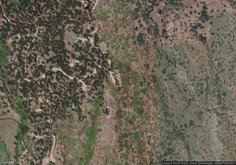
65 Sunrise Ln Durango, CO 81301
Estimated Value: $1,853,000 - $2,382,503
4
Beds
5
Baths
5,903
Sq Ft
$352/Sq Ft
Est. Value
About This Home
This home is located at 65 Sunrise Ln, Durango, CO 81301 and is currently estimated at $2,079,168, approximately $352 per square foot. 65 Sunrise Ln is a home located in La Plata County with nearby schools including Needham Elementary School, Miller Middle School, and Durango High School.
Ownership History
Date
Name
Owned For
Owner Type
Purchase Details
Closed on
Nov 21, 2018
Sold by
Rashkin Stanley M
Bought by
Mcbride John and Mcbride Suzanne
Current Estimated Value
Home Financials for this Owner
Home Financials are based on the most recent Mortgage that was taken out on this home.
Original Mortgage
$1,200,000
Outstanding Balance
$1,057,293
Interest Rate
4.9%
Mortgage Type
New Conventional
Estimated Equity
$1,021,875
Purchase Details
Closed on
Jun 27, 2017
Sold by
Rashkin Stanley M
Bought by
Rashkin Stanley M and Stanley M Rashkin Revocable Living Trust
Purchase Details
Closed on
Apr 19, 2017
Sold by
Rashkin Stanley M and Rashkin Deborah C
Bought by
Rashkin Stanley M
Home Financials for this Owner
Home Financials are based on the most recent Mortgage that was taken out on this home.
Original Mortgage
$1,400
Interest Rate
4.3%
Mortgage Type
New Conventional
Purchase Details
Closed on
Dec 20, 2016
Sold by
Rashkin Deborah C and Raskin Stanley M
Bought by
Raskin Stanley M
Purchase Details
Closed on
Dec 12, 2013
Sold by
Huss Phillip T and Huss Stephanie W
Bought by
Rashkin Stanley M and Rashkin Deborah C
Home Financials for this Owner
Home Financials are based on the most recent Mortgage that was taken out on this home.
Original Mortgage
$1,031,000
Interest Rate
4.14%
Mortgage Type
Construction
Purchase Details
Closed on
May 15, 2007
Sold by
Crane George A
Bought by
Huss Phillip T and Huss Stephanie W
Home Financials for this Owner
Home Financials are based on the most recent Mortgage that was taken out on this home.
Original Mortgage
$407,000
Interest Rate
6.16%
Mortgage Type
New Conventional
Purchase Details
Closed on
Jan 24, 2006
Sold by
Ellis Monica M and Crane George A
Bought by
Crane George A
Home Financials for this Owner
Home Financials are based on the most recent Mortgage that was taken out on this home.
Original Mortgage
$1,000,000
Interest Rate
8.35%
Mortgage Type
Adjustable Rate Mortgage/ARM
Purchase Details
Closed on
Jan 7, 2004
Bought by
Rashkin Stanley M Trustee
Create a Home Valuation Report for This Property
The Home Valuation Report is an in-depth analysis detailing your home's value as well as a comparison with similar homes in the area
Purchase History
| Date | Buyer | Sale Price | Title Company |
|---|---|---|---|
| Mcbride John | $1,600,000 | Land Title Guarantee Co | |
| Rashkin Stanley M | -- | None Available | |
| Rashkin Stanley M | -- | Land Title | |
| Raskin Stanley M | -- | None Available | |
| Rashkin Stanley M | $975,000 | Land Title Guarantee Company | |
| Huss Phillip T | $910,000 | None Available | |
| Crane George A | -- | None Available | |
| Ellis Monica M | -- | None Available | |
| Rashkin Stanley M Trustee | $230,000 | -- |
Source: Public Records
Mortgage History
| Date | Status | Borrower | Loan Amount |
|---|---|---|---|
| Open | Mcbride John | $1,200,000 | |
| Previous Owner | Rashkin Stanley M | $1,400 | |
| Previous Owner | Rashkin Stanley M | $1,031,000 | |
| Previous Owner | Huss Phillip T | $407,000 | |
| Previous Owner | Crane George A | $1,000,000 |
Source: Public Records
Tax History
| Year | Tax Paid | Tax Assessment Tax Assessment Total Assessment is a certain percentage of the fair market value that is determined by local assessors to be the total taxable value of land and additions on the property. | Land | Improvement |
|---|---|---|---|---|
| 2025 | $6,550 | $146,650 | $24,200 | $122,450 |
| 2024 | $5,629 | $130,820 | $22,090 | $108,730 |
| 2023 | $5,629 | $134,800 | $22,770 | $112,030 |
| 2022 | $4,816 | $139,520 | $23,560 | $115,960 |
| 2021 | $4,846 | $113,940 | $19,710 | $94,230 |
| 2020 | $3,676 | $89,030 | $18,300 | $70,730 |
| 2019 | $3,360 | $84,790 | $18,300 | $66,490 |
| 2018 | $3,062 | $78,160 | $20,950 | $57,210 |
| 2016 | $2,751 | $77,590 | $22,640 | $54,950 |
Source: Public Records
Map
Nearby Homes
- 5711 County Road 203
- 631 Horse Thief Ln
- 422 Horse Thief Ln
- 108 Ponderosa Park Dr
- 275 & 213 Cr 252 Aka Trimble Ln
- 46 Elkview Ct
- 63 Fairway Dr
- 78 Elkview Ct
- 42 W Dalton Rd
- 62 Elkview Ct
- 76 Fairway Dr
- 189 W Dalton Rd
- 74 W Dalton Rd
- 161 W Dalton Rd
- 29 Fairway Dr
- 30 Elkview Ct
- 26 W Dalton Rd
- 45 Fairway Dr
- 234 W Dalton Rd
- 106 W Dalton Rd
- 19 Sunrise Ln
- 117 Sunrise Ln
- 0 Rockridge Cir
- 192 Rockridge Cir
- 128 Rockridge Cir
- 105 Rockridge Cir Unit IIII
- 250 Starwood Trail
- 250 Rockridge Cir Unit IIII
- 225 Rockridge Cir Unit IIII
- 830 Alpenglow Dr
- 162 Starwood Trail
- 64 Starwood Trail
- 257 Starwood Trail
- 171 Starwood Trail
- 0 Starwood Trail
- 406 Starwood Trail
- 129 Starwood Trail
- 190 Alpenglow Dr
- 0 Alpenglow
- 552 Snowshoe Ln
Your Personal Tour Guide
Ask me questions while you tour the home.
