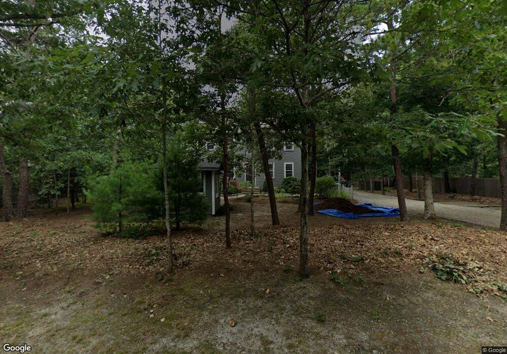
65 Thorne Rd Eastham, MA 02642
Estimated Value: $756,978 - $810,000
3
Beds
2
Baths
1,600
Sq Ft
$486/Sq Ft
Est. Value
About This Home
This home is located at 65 Thorne Rd, Eastham, MA 02642 and is currently estimated at $777,995, approximately $486 per square foot. 65 Thorne Rd is a home located in Barnstable County with nearby schools including Eastham Elementary School, Nauset Regional Middle School, and Nauset Regional High School.
Ownership History
Date
Name
Owned For
Owner Type
Purchase Details
Closed on
Sep 26, 2024
Sold by
Miller Mary M and Miller Joe R
Bought by
65 Thorne Rd Nt and Miller
Current Estimated Value
Purchase Details
Closed on
Jul 13, 2022
Sold by
Steele Mona O and Steele Gary R
Bought by
Miller Mary M and Miller Joe R
Purchase Details
Closed on
Oct 27, 2015
Sold by
Steele Mona and Miller Mary M
Bought by
Miller Mary M and Steele Mona O
Purchase Details
Closed on
Sep 12, 2005
Sold by
Schlesinger Andrew C
Bought by
Miller Mary Margaret and Steele Mona
Purchase Details
Closed on
May 11, 2004
Sold by
Schlesinger Dolora A and Schlesinger Michael L
Bought by
Schlesinger Andrew C
Home Financials for this Owner
Home Financials are based on the most recent Mortgage that was taken out on this home.
Original Mortgage
$167,000
Interest Rate
5.39%
Mortgage Type
Purchase Money Mortgage
Create a Home Valuation Report for This Property
The Home Valuation Report is an in-depth analysis detailing your home's value as well as a comparison with similar homes in the area
Home Values in the Area
Average Home Value in this Area
Purchase History
| Date | Buyer | Sale Price | Title Company |
|---|---|---|---|
| 65 Thorne Rd Nt | -- | None Available | |
| 65 Thorne Rd Nt | -- | None Available | |
| Miller Mary M | $330,000 | None Available | |
| Miller Mary M | -- | -- | |
| Miller Mary Margaret | $441,000 | -- | |
| Schlesinger Andrew C | -- | -- | |
| Miller Mary M | -- | -- | |
| Miller Mary Margaret | $441,000 | -- | |
| Schlesinger Andrew C | -- | -- |
Source: Public Records
Mortgage History
| Date | Status | Borrower | Loan Amount |
|---|---|---|---|
| Previous Owner | Schlesinger Andrew C | $167,000 |
Source: Public Records
Tax History Compared to Growth
Tax History
| Year | Tax Paid | Tax Assessment Tax Assessment Total Assessment is a certain percentage of the fair market value that is determined by local assessors to be the total taxable value of land and additions on the property. | Land | Improvement |
|---|---|---|---|---|
| 2025 | $4,958 | $643,100 | $313,400 | $329,700 |
| 2024 | $4,407 | $628,700 | $304,200 | $324,500 |
| 2023 | $4,086 | $564,300 | $281,700 | $282,600 |
| 2022 | $3,907 | $455,400 | $251,500 | $203,900 |
| 2021 | $3,800 | $413,900 | $228,600 | $185,300 |
| 2020 | $3,566 | $409,000 | $233,300 | $175,700 |
| 2019 | $3,278 | $397,300 | $226,600 | $170,700 |
| 2018 | $3,239 | $387,900 | $220,000 | $167,900 |
| 2017 | $3,004 | $380,200 | $215,600 | $164,600 |
| 2016 | $2,644 | $355,400 | $187,500 | $167,900 |
| 2015 | $2,435 | $342,900 | $183,800 | $159,100 |
Source: Public Records
Map
Nearby Homes
- 315 Candlewood Dr
- 70 Deerfield Ln
- 20 Redberry Ln
- 45 Starlight Ln
- 82 Old Orchard Rd
- 100 Orchard Dr
- 115 Sparrowhawk Ln
- 2705 State Hwy
- 2705 State Hwy Unit 1-8
- 135 Nauset Light Beach Rd
- 255 Massasoit Rd
- 35 Old County Rd Unit 1
- 245 Nauset Light Beach Rd
- 157 Brownell Rd
- 95 Toland Dr
- 20 Boreen Rd
- 645 Samoset Rd
- 5470 State Hwy
- 50 Silver Oak Rd
- 495 Aspinet Rd