65 Tim Price Rd Rockwood, TN 37854
Estimated Value: $327,000 - $585,000
--
Bed
3
Baths
3,934
Sq Ft
$116/Sq Ft
Est. Value
About This Home
This home is located at 65 Tim Price Rd, Rockwood, TN 37854 and is currently estimated at $456,397, approximately $116 per square foot. 65 Tim Price Rd is a home located in Cumberland County with nearby schools including Pine View Elementary School and Stone Memorial High School.
Ownership History
Date
Name
Owned For
Owner Type
Purchase Details
Closed on
Jul 22, 2016
Sold by
Davis Heather M
Bought by
Adkisson Kevin and Adkisson Heather
Current Estimated Value
Purchase Details
Closed on
Jul 22, 2013
Sold by
Adkisson Heather M
Bought by
Adkisson Kevin and Adkisson Heather
Purchase Details
Closed on
Sep 17, 2003
Bought by
Davis Heather M Eddie Davis and Davis Rhonda
Purchase Details
Closed on
Aug 19, 1994
Bought by
Davis Eddie and Davis Rhonda
Create a Home Valuation Report for This Property
The Home Valuation Report is an in-depth analysis detailing your home's value as well as a comparison with similar homes in the area
Home Values in the Area
Average Home Value in this Area
Purchase History
| Date | Buyer | Sale Price | Title Company |
|---|---|---|---|
| Adkisson Kevin | -- | -- | |
| Adkisson Kevin | -- | -- | |
| Davis Heather M Eddie Davis | $70,500 | -- | |
| Davis Eddie | $1,500 | -- |
Source: Public Records
Tax History Compared to Growth
Tax History
| Year | Tax Paid | Tax Assessment Tax Assessment Total Assessment is a certain percentage of the fair market value that is determined by local assessors to be the total taxable value of land and additions on the property. | Land | Improvement |
|---|---|---|---|---|
| 2024 | $903 | $79,550 | $2,325 | $77,225 |
| 2023 | $903 | $79,550 | $0 | $0 |
| 2022 | $903 | $79,550 | $2,325 | $77,225 |
| 2021 | $817 | $52,225 | $1,075 | $51,150 |
| 2020 | $817 | $52,225 | $1,075 | $51,150 |
| 2019 | $817 | $52,225 | $1,075 | $51,150 |
| 2018 | $771 | $52,225 | $1,075 | $51,150 |
| 2017 | $771 | $49,275 | $1,075 | $48,200 |
| 2016 | $726 | $47,500 | $1,075 | $46,425 |
| 2015 | $711 | $47,500 | $1,075 | $46,425 |
| 2014 | $711 | $47,499 | $0 | $0 |
Source: Public Records
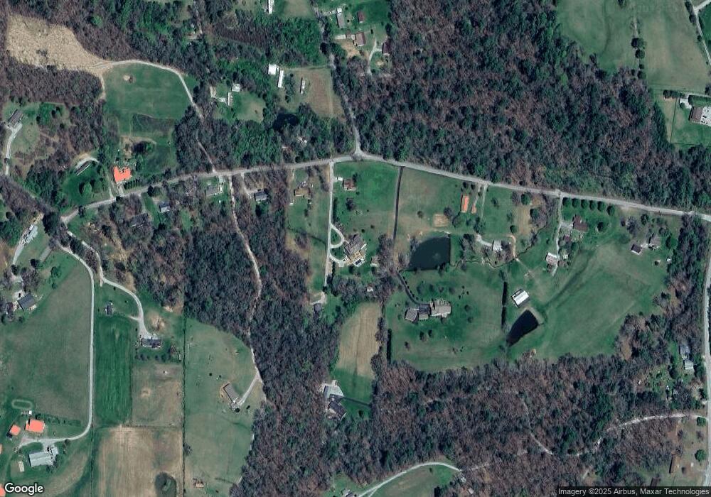
Map
Nearby Homes
- 0 Emerald Pointe Unit 1299408
- 0 Emerald Pointe Unit RTC2968376
- Lot 36 Emerald Pointe Cir
- 0 Emerald Pointe Unit RTC2968375
- 0 Emerald Pointe Unit 1316561
- 0 Emerald Pointe Unit 1299403
- 1 Millstone Mountain Rd
- 0 Allen Dr
- 647 Price Loop
- 0 Airport Rd
- Lot 22 Timber Valley Trail (Pca)
- Airport Road Lot Unit WP026
- Airport Road Lot Unit WP013
- 0 Tower Rd Unit 1300157
- Airport Road Lot Unit WP027
- 9 Airport Rd
- Airport Road Lot Unit WP011
- 315 N Dunlap Ave
- 0 Lot 10 Airport Rd Unit 1310475
- 0 Airport Rd Unit 1310473
- 1722 Mount Vernal Rd
- 1720 Mount Vernal Rd
- 1642 Mount Vernal Rd
- 1850 Mount Vernal Rd
- 1630 Mount Vernal Rd
- 104 Kindrick Dr
- 1612 Mount Vernal Rd
- 1576 Mount Vernal Rd
- 72 Eddington Ln
- 1564 Mount Vernal Rd
- 1920 Mount Vernal Rd
- 126 Golliher Rd
- 1547 Mount Vernal Rd
- 140 Golliher Rd
- 102 Kindrick Dr
- 125 Eddington Ln
- 1998 Mount Vernal Rd
- 1430 Mount Vernal Rd
- 68 Garlon Price Rd
- 3105 Westel Rd