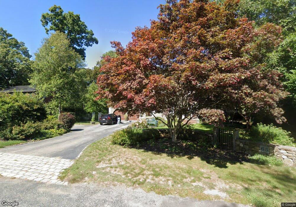
65 Townsend Rd Scituate, MA 02066
Estimated Value: $940,000 - $1,324,000
4
Beds
3
Baths
2,467
Sq Ft
$468/Sq Ft
Est. Value
About This Home
This home is located at 65 Townsend Rd, Scituate, MA 02066 and is currently estimated at $1,155,734, approximately $468 per square foot. 65 Townsend Rd is a home located in Plymouth County with nearby schools including Hatherly Elementary School, Lester J. Gates Middle School, and Scituate High School.
Ownership History
Date
Name
Owned For
Owner Type
Purchase Details
Closed on
Apr 10, 2025
Sold by
Mcgowan Paul A and Mcgowan Rosemary B
Bought by
Mcgowan Paul A and Mcgowan Rosemary B
Current Estimated Value
Purchase Details
Closed on
Jan 1, 1975
Bought by
Mcgowan Paul A and Mcgowan Rosemary
Create a Home Valuation Report for This Property
The Home Valuation Report is an in-depth analysis detailing your home's value as well as a comparison with similar homes in the area
Home Values in the Area
Average Home Value in this Area
Purchase History
| Date | Buyer | Sale Price | Title Company |
|---|---|---|---|
| Mcgowan Paul A | -- | None Available | |
| Mcgowan Paul A | -- | None Available | |
| Mcgowan Paul A | -- | -- |
Source: Public Records
Mortgage History
| Date | Status | Borrower | Loan Amount |
|---|---|---|---|
| Previous Owner | Mcgowan Paul A | $250,000 | |
| Previous Owner | Mcgowan Paul A | $137,000 | |
| Previous Owner | Mcgowan Paul A | $110,000 | |
| Previous Owner | Mcgowan Paul A | $121,000 |
Source: Public Records
Tax History
| Year | Tax Paid | Tax Assessment Tax Assessment Total Assessment is a certain percentage of the fair market value that is determined by local assessors to be the total taxable value of land and additions on the property. | Land | Improvement |
|---|---|---|---|---|
| 2025 | $9,215 | $922,400 | $415,500 | $506,900 |
| 2024 | $9,063 | $874,800 | $377,700 | $497,100 |
| 2023 | $8,838 | $809,300 | $343,400 | $465,900 |
| 2022 | $8,838 | $700,300 | $309,600 | $390,700 |
| 2021 | $8,708 | $653,300 | $308,900 | $344,400 |
| 2020 | $8,500 | $629,600 | $297,000 | $332,600 |
| 2019 | $8,313 | $605,000 | $291,200 | $313,800 |
| 2018 | $7,939 | $569,100 | $287,000 | $282,100 |
| 2017 | $7,717 | $547,700 | $276,000 | $271,700 |
| 2016 | $7,432 | $525,600 | $253,900 | $271,700 |
| 2015 | $6,740 | $514,500 | $242,800 | $271,700 |
Source: Public Records
Map
Nearby Homes
- 430 Hatherly Rd
- 430 Hatherly Rd Unit Exhibit “A”
- 430 Hatherly Rd Unit Exhibit “B”
- 629 Country Way
- 59 Captain Peirce Rd
- 7 3 Ring Rd
- 49 Whittier Dr
- 54 Woodland Rd
- 67 Pratt Rd
- 701 Country Way
- 26 Mordecai Lincoln Rd
- 18A Mitchell Ave
- 11 Forest Ln
- 9 Forest Ln Unit 9
- 74 Branch St Unit 15
- 817 Country Way
- 20 Lawson Rd
- 49 Jackson Rd
- 327 Country Way
- 20 Lee Ave
- 59 Townsend Rd
- 64 Townsend Rd
- 70 Townsend Rd
- 60 Townsend Rd
- 75 Townsend Rd
- 74 Townsend Rd
- 54 Townsend Rd
- 16 Carriage House Way Unit LOT 7
- 80 Townsend Rd
- 15 Carriage House Way Unit LOT 8
- 101 Sedgewick Dr
- 81 Townsend Rd
- 107 Sedgewick Dr
- 13 Carriage House Way
- 14 Pennycress Rd
- 14 Carriage House Way Unit LOT 6
- 3 Cold Brook Cir
- 3 Cold Brook Cir Unit LOT 15
- 12 Carriage House Way Unit LOT 5
- 10 Carriage House Way
Your Personal Tour Guide
Ask me questions while you tour the home.