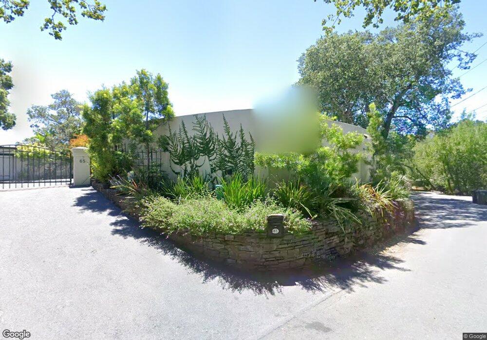
65 Upper Toyon Dr Kentfield, CA 94904
Estimated Value: $4,301,000 - $7,026,074
4
Beds
5
Baths
5,857
Sq Ft
$965/Sq Ft
Est. Value
About This Home
This home is located at 65 Upper Toyon Dr, Kentfield, CA 94904 and is currently estimated at $5,652,769, approximately $965 per square foot. 65 Upper Toyon Dr is a home located in Marin County with nearby schools including Ross Elementary School, Redwood High School, and Lindamood-Bell Learning Processes San Rafael.
Ownership History
Date
Name
Owned For
Owner Type
Purchase Details
Closed on
Jan 7, 2026
Sold by
Mcburney Linda Bacon and Mcburney Arnot Starrs
Bought by
Mcburney Non-Exempt Marital Trust and Mcburney
Current Estimated Value
Purchase Details
Closed on
Nov 6, 2000
Sold by
Miska Ruth
Bought by
Mcburney Charles and Mcburney Linda Bacon
Purchase Details
Closed on
Nov 21, 1997
Sold by
Matthews William J and Matthews Low John
Bought by
Miska Ruth
Home Financials for this Owner
Home Financials are based on the most recent Mortgage that was taken out on this home.
Original Mortgage
$1,000,000
Interest Rate
6.87%
Create a Home Valuation Report for This Property
The Home Valuation Report is an in-depth analysis detailing your home's value as well as a comparison with similar homes in the area
Home Values in the Area
Average Home Value in this Area
Purchase History
| Date | Buyer | Sale Price | Title Company |
|---|---|---|---|
| Mcburney Non-Exempt Marital Trust | -- | None Listed On Document | |
| Mcburney Charles | -- | First American Title Co | |
| Miska Ruth | -- | Old Republic Title Company |
Source: Public Records
Mortgage History
| Date | Status | Borrower | Loan Amount |
|---|---|---|---|
| Previous Owner | Miska Ruth | $1,000,000 |
Source: Public Records
Tax History
| Year | Tax Paid | Tax Assessment Tax Assessment Total Assessment is a certain percentage of the fair market value that is determined by local assessors to be the total taxable value of land and additions on the property. | Land | Improvement |
|---|---|---|---|---|
| 2025 | $60,753 | $4,996,389 | $3,013,459 | $1,982,930 |
| 2024 | $57,292 | $4,898,434 | $2,954,379 | $1,944,055 |
| 2023 | $56,427 | $4,802,401 | $2,896,459 | $1,905,942 |
| 2022 | $55,402 | $4,708,260 | $2,839,680 | $1,868,580 |
| 2021 | $54,581 | $4,615,942 | $2,784,000 | $1,831,942 |
| 2020 | $54,041 | $4,568,620 | $2,755,459 | $1,813,161 |
| 2019 | $52,219 | $4,479,055 | $2,701,440 | $1,777,615 |
| 2018 | $51,829 | $4,391,246 | $2,648,480 | $1,742,766 |
| 2017 | $50,875 | $4,305,161 | $2,596,560 | $1,708,601 |
| 2016 | $48,558 | $4,220,766 | $2,545,659 | $1,675,107 |
| 2015 | $48,624 | $4,157,397 | $2,507,440 | $1,649,957 |
| 2014 | $46,825 | $4,075,985 | $2,458,339 | $1,617,646 |
Source: Public Records
Map
Nearby Homes
- 42 Grove St
- 221 D St
- 44 Martens Blvd
- 215 Picnic Ave
- 101 Laurel Grove Ave
- 226 Bayview St
- 20 Taylor St
- 29 Frances St
- 59, 60 Clayton St
- 619 B St
- 838 Sir Francis Drake Blvd Unit 3
- 717 C St
- 138 Miramar Ave
- 41 Bretano Way
- 39 Latham St
- 11 Jessup St
- 141 Irwin St
- 1851 2nd St
- 31 Ross Terrace
- 320 Via Casitas Unit 109
- 66 Upper Toyon Dr
- 10 Poplar Dr
- 45 Upper Toyon Dr
- 60 Upper Toyon Dr
- 73 Upper Toyon Dr
- 61 Upper Toyon Dr
- 1 Upper Toyon Dr
- 40 Poplar Dr
- 25 Upper Toyon Dr
- 80 Upper Toyon Dr
- 87 Upper Toyon Dr
- 20 Upper Toyon Dr
- 25 Poplar Dr
- 2 Upper Toyon Dr
- 91 Upper Toyon Dr
- 22 Upper Toyon Dr
- 76 D St
- 75 Poplar Dr
- 8 Upper Toyon Dr
Your Personal Tour Guide
Ask me questions while you tour the home.