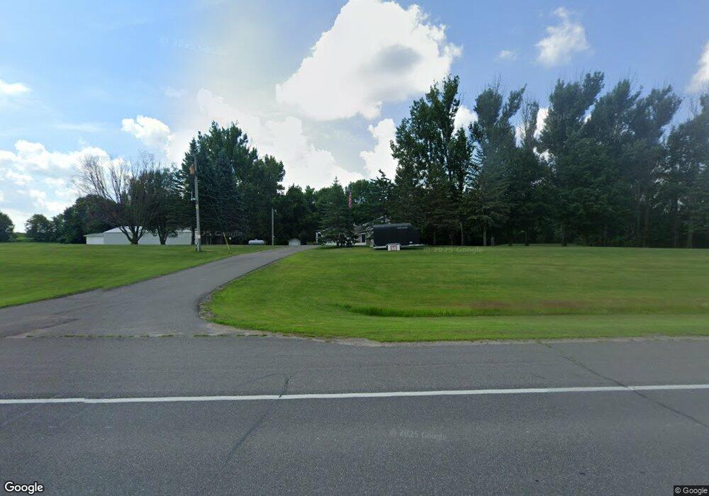
65 Us Highway 12 SE Montrose, MN 55363
Estimated Value: $517,000 - $612,000
3
Beds
2
Baths
2,128
Sq Ft
$266/Sq Ft
Est. Value
About This Home
This home is located at 65 Us Highway 12 SE, Montrose, MN 55363 and is currently estimated at $566,874, approximately $266 per square foot. 65 Us Highway 12 SE is a home located in Wright County with nearby schools including Montrose Elementary School, Buffalo Community Middle School, and Buffalo Senior High School.
Ownership History
Date
Name
Owned For
Owner Type
Purchase Details
Closed on
Jul 29, 2020
Sold by
Ingersoll Dale Dale
Bought by
Pugh Jason Jason
Current Estimated Value
Home Financials for this Owner
Home Financials are based on the most recent Mortgage that was taken out on this home.
Original Mortgage
$413,250
Outstanding Balance
$366,650
Interest Rate
3.01%
Estimated Equity
$200,224
Create a Home Valuation Report for This Property
The Home Valuation Report is an in-depth analysis detailing your home's value as well as a comparison with similar homes in the area
Home Values in the Area
Average Home Value in this Area
Purchase History
| Date | Buyer | Sale Price | Title Company |
|---|---|---|---|
| Pugh Jason Jason | $435,000 | -- |
Source: Public Records
Mortgage History
| Date | Status | Borrower | Loan Amount |
|---|---|---|---|
| Open | Pugh Jason Jason | $413,250 | |
| Closed | Pugh Jason Jason | -- |
Source: Public Records
Tax History Compared to Growth
Tax History
| Year | Tax Paid | Tax Assessment Tax Assessment Total Assessment is a certain percentage of the fair market value that is determined by local assessors to be the total taxable value of land and additions on the property. | Land | Improvement |
|---|---|---|---|---|
| 2025 | $5,164 | $549,900 | $207,300 | $342,600 |
| 2024 | $4,966 | $537,000 | $203,400 | $333,600 |
| 2023 | $4,842 | $553,800 | $203,400 | $350,400 |
| 2022 | $4,678 | $503,400 | $194,400 | $309,000 |
| 2021 | $4,712 | $417,700 | $133,600 | $284,100 |
| 2020 | $4,756 | $406,500 | $133,600 | $272,900 |
| 2019 | $4,172 | $403,700 | $0 | $0 |
| 2018 | $3,686 | $383,000 | $0 | $0 |
| 2017 | $3,564 | $343,900 | $0 | $0 |
| 2016 | $3,568 | $0 | $0 | $0 |
| 2015 | $3,622 | $0 | $0 | $0 |
| 2014 | -- | $0 | $0 | $0 |
Source: Public Records
Map
Nearby Homes
- 150 Pheasant Ridge Dr
- 137 Pheasant Ridge Dr
- 7040 Meridian Ave S
- 301 Center Ave S
- 426 Dillon Ave N
- 161 Mindy Ln Unit 9
- 149 Mindy Ln
- 6351 Brighton Ave SE
- 610 Emerson Ave N
- 517 2nd St S
- 703 7th St N
- 305 Garfield Ave S
- 726 7th St N
- 1112 Natalie Ave
- 684 Aspen Ln
- 935 Aspen Ln
- 643 Fieldcrest Ave N
- 645 Fieldcrest Ave N
- 683 Aspen Ln
- 690 Aspen Ln
- 6024 Meridian Ave S
- 6076 Meridian Ave S
- 6110 Meridian Ave S
- 6136 Meridian Ave S
- 40 Us Highway 12 SE
- 6057 Meridian Ave S
- XXX 335th St
- 235 60th St SE
- 276 60th St SE
- 6352 Meridian Ave S
- 6352 Meridian Ave S
- 215 Us Highway 12 SW
- 247 Us Highway 12 SW
- 470 Us Highway 12 SE
- 285 Us Highway 12 SW
- 285 U S 12
- 370 Us Highway 12 SW
- 6568 Meridian Ave S
- 446 Us Highway 12 SW
- 2XX 55th St SW