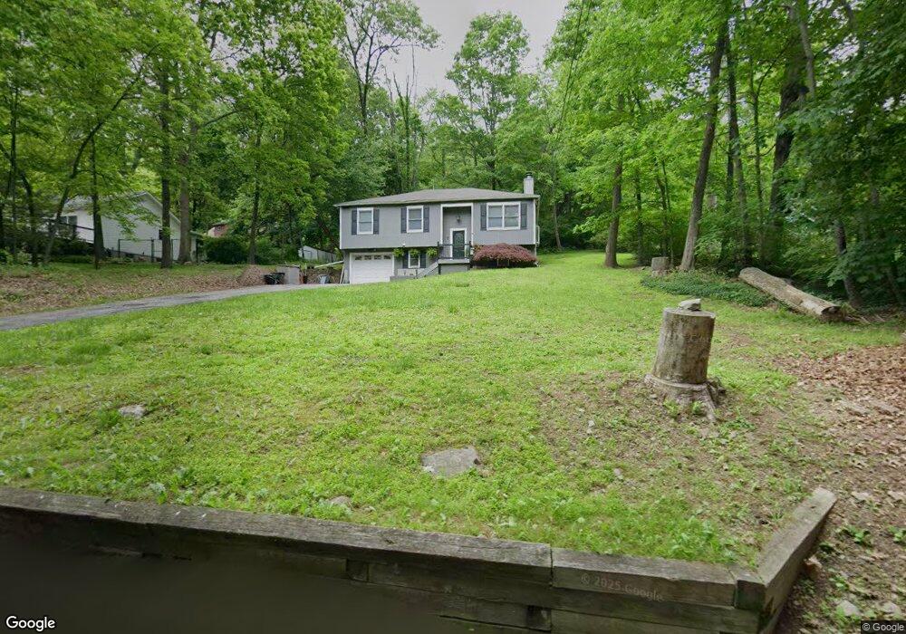
65 Walnut Ave Branchville, NJ 07826
Estimated Value: $435,000 - $636,000
--
Bed
--
Bath
1,728
Sq Ft
$300/Sq Ft
Est. Value
About This Home
This home is located at 65 Walnut Ave, Branchville, NJ 07826 and is currently estimated at $519,239, approximately $300 per square foot. 65 Walnut Ave is a home located in Sussex County with nearby schools including Frankford Township School and High Point Regional High School.
Ownership History
Date
Name
Owned For
Owner Type
Purchase Details
Closed on
Apr 13, 1995
Sold by
Brick Michael X
Bought by
Stone Daniel J and Stone Dawn M
Current Estimated Value
Create a Home Valuation Report for This Property
The Home Valuation Report is an in-depth analysis detailing your home's value as well as a comparison with similar homes in the area
Home Values in the Area
Average Home Value in this Area
Purchase History
| Date | Buyer | Sale Price | Title Company |
|---|---|---|---|
| Stone Daniel J | $112,000 | -- |
Source: Public Records
Tax History Compared to Growth
Tax History
| Year | Tax Paid | Tax Assessment Tax Assessment Total Assessment is a certain percentage of the fair market value that is determined by local assessors to be the total taxable value of land and additions on the property. | Land | Improvement |
|---|---|---|---|---|
| 2025 | $7,016 | $235,900 | $111,400 | $124,500 |
| 2024 | $6,806 | $235,900 | $111,400 | $124,500 |
| 2023 | $6,806 | $235,900 | $111,400 | $124,500 |
| 2022 | $6,641 | $235,900 | $111,400 | $124,500 |
| 2021 | $6,440 | $235,900 | $111,400 | $124,500 |
| 2020 | $6,256 | $235,900 | $111,400 | $124,500 |
| 2019 | $6,079 | $235,900 | $111,400 | $124,500 |
| 2018 | $6,023 | $235,900 | $111,400 | $124,500 |
| 2017 | $6,001 | $235,900 | $111,400 | $124,500 |
| 2016 | $6,077 | $235,900 | $111,400 | $124,500 |
| 2015 | $6,046 | $235,900 | $111,400 | $124,500 |
| 2014 | $6,185 | $235,900 | $111,400 | $124,500 |
Source: Public Records
Map
Nearby Homes
- 127 E Shore Culver Rd
- 30 - 31 E Shore Culver Rd
- 461 U S Highway 206
- 13 U S 206
- 4 Lake Path 1
- 7 Laurel Ave
- 78 E Shore Culver Rd
- 6 Woodlawn Ave
- 39 Stehr St
- 27 Mountain Trail
- 4 Woodlawn Ave
- 9 Woods Rd
- 15 Forest St
- 9 Maple Ln
- 1 Lakeview Point Ave
- 57 E Shore Trail
- 19 E Shore Lake Owassa Rd
- 25 E Shore Lake Owassa Rd
- 95 Woods Rd
- 26 Mill Ln
- 63 Walnut Ave
- 52 Upper North Shore Rd
- 50 Upper North Shore Rd
- 64 Walnut Ave
- 62 Walnut Ave
- 61 Walnut Ave
- 66 Walnut Ave
- 59 Walnut Ave
- 60 Walnut Ave
- 71 Walnut Ave
- 54 Upper North Shore Rd
- 56 Upper North Shore Rd
- 58 Upper North Shore Rd
- 68 Walnut Ave
- 135 Lower North Shore Rd
- 61 Upper North Shore Rd
- 66 Upper North Shore Rd
- 58 Walnut Ave
- 131 Lower North Shore Rd
- 133 Lower North Shore Rd