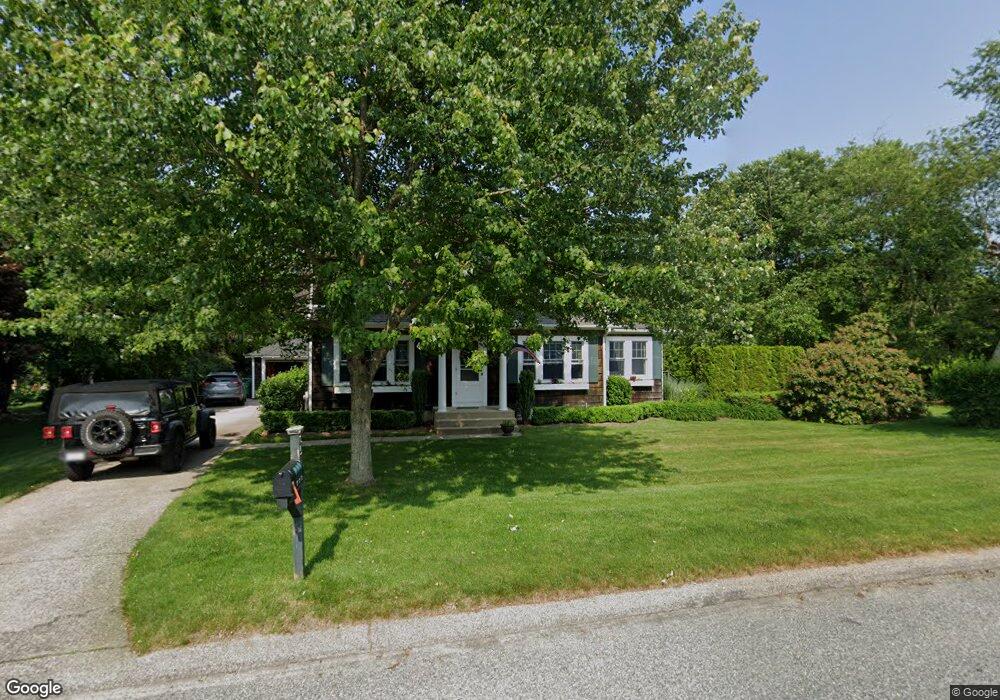
65 Weathervane Rd Wakefield, RI 02879
Estimated Value: $664,000 - $854,000
3
Beds
1
Bath
1,518
Sq Ft
$483/Sq Ft
Est. Value
About This Home
This home is located at 65 Weathervane Rd, Wakefield, RI 02879 and is currently estimated at $733,850, approximately $483 per square foot. 65 Weathervane Rd is a home located in Washington County with nearby schools including South Kingstown High School, Monsignor Matthew Clarke Catholic Regional School, and South Shore School.
Ownership History
Date
Name
Owned For
Owner Type
Purchase Details
Closed on
Aug 15, 1997
Sold by
Purnell Richard F
Bought by
Ohara David P and Ohara Erin
Current Estimated Value
Home Financials for this Owner
Home Financials are based on the most recent Mortgage that was taken out on this home.
Original Mortgage
$114,950
Interest Rate
7.56%
Purchase Details
Closed on
Sep 27, 1994
Sold by
Purnell Richard F
Bought by
Hawkins David and Hawkins Dana
Create a Home Valuation Report for This Property
The Home Valuation Report is an in-depth analysis detailing your home's value as well as a comparison with similar homes in the area
Home Values in the Area
Average Home Value in this Area
Purchase History
| Date | Buyer | Sale Price | Title Company |
|---|---|---|---|
| Ohara David P | $144,000 | -- | |
| Hawkins David | $140,000 | -- |
Source: Public Records
Mortgage History
| Date | Status | Borrower | Loan Amount |
|---|---|---|---|
| Open | Hawkins David | $152,500 | |
| Closed | Hawkins David | $203,000 | |
| Closed | Hawkins David | $105,606 | |
| Closed | Hawkins David | $114,950 |
Source: Public Records
Tax History
| Year | Tax Paid | Tax Assessment Tax Assessment Total Assessment is a certain percentage of the fair market value that is determined by local assessors to be the total taxable value of land and additions on the property. | Land | Improvement |
|---|---|---|---|---|
| 2025 | $5,226 | $584,600 | $219,300 | $365,300 |
| 2024 | $5,254 | $475,500 | $162,500 | $313,000 |
| 2023 | $5,254 | $475,500 | $162,500 | $313,000 |
| 2022 | $5,207 | $475,500 | $162,500 | $313,000 |
| 2021 | $5,261 | $364,100 | $125,000 | $239,100 |
| 2020 | $5,261 | $364,100 | $125,000 | $239,100 |
| 2019 | $5,261 | $364,100 | $125,000 | $239,100 |
| 2018 | $5,256 | $335,200 | $119,600 | $215,600 |
| 2017 | $5,132 | $335,200 | $119,600 | $215,600 |
| 2016 | $5,058 | $335,200 | $119,600 | $215,600 |
| 2015 | $4,720 | $304,100 | $108,700 | $195,400 |
| 2014 | $4,707 | $304,100 | $108,700 | $195,400 |
Source: Public Records
Map
Nearby Homes
- 260 Sweet Allen Farm Rd Unit 3
- 222 Sweet Allen Farm Rd Unit D3
- 23 Rockland Dr
- 228 Rodman St
- 507 Curtis Corner Rd
- 57 Rocky Brook Way
- 1359 Kingstown Rd
- 106 Winter St
- 48 Stone Bridge Dr
- 35 Abbey Rd
- 1668 Kingstown Rd
- 301 Church St Unit 103
- 54 Vespia Ln
- 42 Vespia Ln
- 40 Northup St
- 131 Columbia St
- 47 Tuckertown Rd
- 37 Columbia St
- 20 Cleveland St
- 5 Lookout Ln
- 71 Weathervane Rd
- 62 Weathervane Rd
- 79 Weathervane Rd
- 54 Weathervane Rd
- 72 Weathervane Rd
- 46 Weathervane Rd
- 80 Weathervane Rd
- 85 Weathervane Rd
- 90 Weathervane Rd
- 93 Weathervane Rd
- 22 Weathervane Rd
- 102 Weathervane Rd
- 99 Weathervane Rd
- 381 Allen Ave
- 324 Sweet Allen Farm Rd
- 105 Weathervane Rd
- 332 Sweet Allen Farm Rd
- 112 Weathervane Rd
- 338 Sweet Allen Farm Rd
- 347 Allen Ave
Your Personal Tour Guide
Ask me questions while you tour the home.