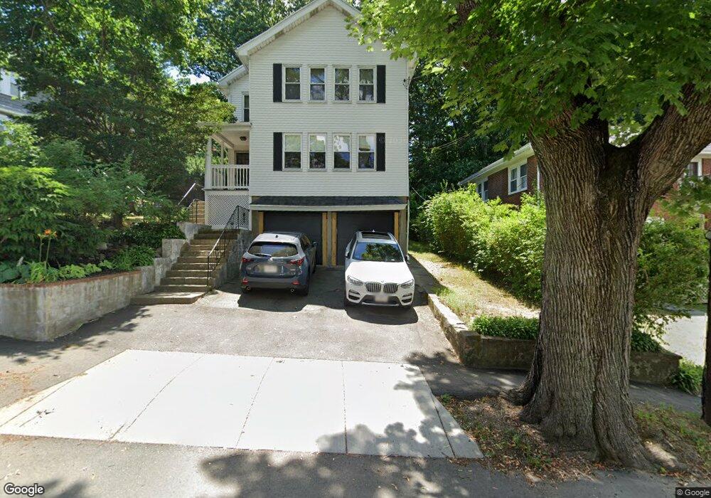
65 Westchester Rd Unit 67 Newton, MA 02458
Newton Corner NeighborhoodEstimated Value: $1,148,000 - $1,563,135
2
Beds
1
Bath
1,376
Sq Ft
$967/Sq Ft
Est. Value
About This Home
This home is located at 65 Westchester Rd Unit 67, Newton, MA 02458 and is currently estimated at $1,330,534, approximately $966 per square foot. 65 Westchester Rd Unit 67 is a home located in Middlesex County with nearby schools including Cabot Elementary School, F.A. Day Middle School, and Newton North High School.
Ownership History
Date
Name
Owned For
Owner Type
Purchase Details
Closed on
Jul 28, 2025
Sold by
Joyce Marie Grant Ret and Youatt
Bought by
Mcsweeney Keith and Mcsweeney Emily
Current Estimated Value
Home Financials for this Owner
Home Financials are based on the most recent Mortgage that was taken out on this home.
Original Mortgage
$877,500
Outstanding Balance
$875,260
Interest Rate
6.84%
Mortgage Type
New Conventional
Estimated Equity
$455,274
Create a Home Valuation Report for This Property
The Home Valuation Report is an in-depth analysis detailing your home's value as well as a comparison with similar homes in the area
Home Values in the Area
Average Home Value in this Area
Purchase History
| Date | Buyer | Sale Price | Title Company |
|---|---|---|---|
| Mcsweeney Keith | $1,170,000 | -- | |
| Mcsweeney Keith | $1,170,000 | -- |
Source: Public Records
Mortgage History
| Date | Status | Borrower | Loan Amount |
|---|---|---|---|
| Open | Mcsweeney Keith | $877,500 | |
| Closed | Mcsweeney Keith | $877,500 |
Source: Public Records
Tax History Compared to Growth
Tax History
| Year | Tax Paid | Tax Assessment Tax Assessment Total Assessment is a certain percentage of the fair market value that is determined by local assessors to be the total taxable value of land and additions on the property. | Land | Improvement |
|---|---|---|---|---|
| 2025 | $13,256 | $1,352,700 | $852,800 | $499,900 |
| 2024 | $12,818 | $1,313,300 | $828,000 | $485,300 |
| 2023 | $12,314 | $1,209,600 | $663,400 | $546,200 |
| 2022 | $11,782 | $1,120,000 | $614,300 | $505,700 |
| 2021 | $11,056 | $1,027,500 | $563,600 | $463,900 |
| 2020 | $10,727 | $1,027,500 | $563,600 | $463,900 |
| 2019 | $10,035 | $960,300 | $526,700 | $433,600 |
| 2018 | $9,886 | $913,700 | $496,400 | $417,300 |
| 2017 | $9,322 | $838,300 | $455,400 | $382,900 |
| 2016 | $8,752 | $769,100 | $417,800 | $351,300 |
| 2015 | $8,345 | $718,800 | $390,500 | $328,300 |
Source: Public Records
Map
Nearby Homes
- 44 Blake St Unit 2
- 127-129 Withington Rd Unit 1
- 110 Harvard St Unit A
- 10 Washington Park
- 10 Washington Park Unit 2
- 10 Washington Park Unit 1
- 300 Cabot St
- 48 Harvard St Unit 1
- 686 Centre St
- 35 George St Unit 35
- 37 George St Unit 37
- 642 Centre St
- 14 Summit St
- 3 Cedar St
- 59 Hyde Ave
- 324 Adams St Unit 2
- 73 Elmore St
- 22 Walnut Place Unit 1
- 77 Court St Unit 205
- 548 Centre St Unit 5
- 65 Westchester Rd Unit 1
- 67 Westchester Rd Unit 2
- 67 Westchester Rd Unit 67
- 61 Westchester Rd Unit 61
- 73 Westchester Rd
- 71 Westchester Rd
- 73 Westchester Rd Unit 73
- 73 Westchester Rd Unit 2
- 59 Westchester Rd Unit 61
- 58 Rochester Rd
- 77 Westchester Rd Unit 79
- 77 Westchester Rd Unit 79
- 66 Westchester Rd Unit 68
- 66 Westchester Rd Unit 1
- 68 Westchester Rd Unit 68
- 68 Westchester Rd Unit 2
- 51 Westchester Rd Unit 53
- 53 Rochester Rd
- 56 Westchester Rd Unit 58
- 142 Cabot St