65 Whethersfield Cir Telford, PA 18969
Estimated Value: $339,000 - $415,000
2
Beds
2
Baths
1,414
Sq Ft
$270/Sq Ft
Est. Value
About This Home
This home is located at 65 Whethersfield Cir, Telford, PA 18969 and is currently estimated at $381,108, approximately $269 per square foot. 65 Whethersfield Cir is a home located in Bucks County with nearby schools including E M Crouthamel Elementary School, Indian Crest Middle School, and Souderton Area Senior High School.
Ownership History
Date
Name
Owned For
Owner Type
Purchase Details
Closed on
Nov 18, 2004
Sold by
Forker David R and Forker Nadine Germaine
Bought by
Forker David R and Forker Nadine Germaine
Current Estimated Value
Home Financials for this Owner
Home Financials are based on the most recent Mortgage that was taken out on this home.
Original Mortgage
$152,700
Interest Rate
5.69%
Create a Home Valuation Report for This Property
The Home Valuation Report is an in-depth analysis detailing your home's value as well as a comparison with similar homes in the area
Home Values in the Area
Average Home Value in this Area
Purchase History
| Date | Buyer | Sale Price | Title Company |
|---|---|---|---|
| Forker David R | -- | First American Title Co |
Source: Public Records
Mortgage History
| Date | Status | Borrower | Loan Amount |
|---|---|---|---|
| Closed | Forker David R | $152,700 |
Source: Public Records
Tax History Compared to Growth
Tax History
| Year | Tax Paid | Tax Assessment Tax Assessment Total Assessment is a certain percentage of the fair market value that is determined by local assessors to be the total taxable value of land and additions on the property. | Land | Improvement |
|---|---|---|---|---|
| 2025 | $4,685 | $117,500 | $50,250 | $67,250 |
| 2024 | $4,685 | $117,500 | $50,250 | $67,250 |
| 2023 | $4,515 | $117,500 | $50,250 | $67,250 |
| 2022 | $4,922 | $117,500 | $50,250 | $67,250 |
| 2021 | $4,827 | $117,500 | $50,250 | $67,250 |
| 2020 | $4,763 | $117,500 | $50,250 | $67,250 |
| 2019 | $4,713 | $117,500 | $50,250 | $67,250 |
| 2018 | $4,260 | $117,500 | $50,250 | $67,250 |
| 2017 | $4,546 | $117,500 | $50,250 | $67,250 |
| 2016 | $4,094 | $117,500 | $50,250 | $67,250 |
| 2015 | $4,027 | $117,500 | $50,250 | $67,250 |
| 2014 | $4,027 | $117,500 | $50,250 | $67,250 |
Source: Public Records
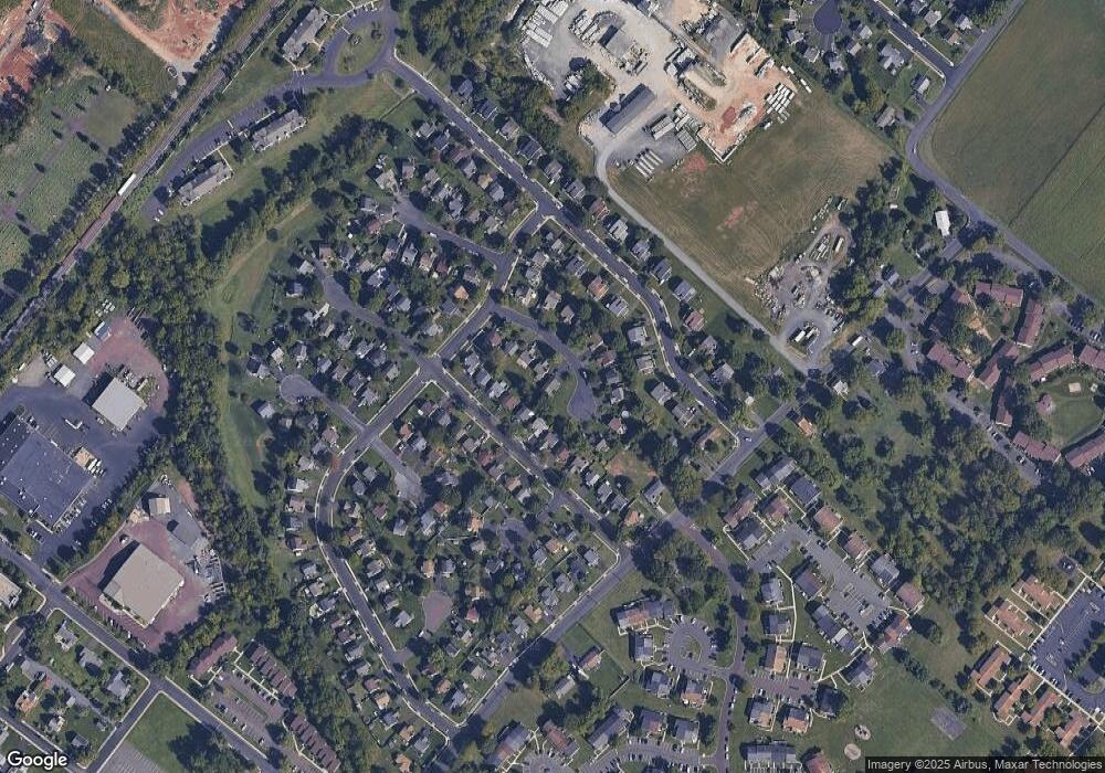
Map
Nearby Homes
- 124 Reliance Place Unit 124
- 55 Reliance Ct Unit 55
- 246 Washington Place
- 119 121 E Broad St
- 401 Edgewood Dr
- 1 E Reliance Rd
- 195 N Washington St
- 0 W Madison Ave
- 89 W Hamlin Ave
- 226 N Main St
- 191 W Reliance Rd
- 196 Penn Ave
- 223 W Reliance Rd
- 3000 Walnut Ln
- 308 Erie Ave
- 103 Arlington Ln
- 20 Ryan Ct
- 321 W Hamlin Ave
- 2513 Wellington Way
- 5 Ryan Ct
- 65 Whethersfield Cir
- 64 Whethersfield Cir
- 64 Whethersfield Cir
- 211 Country Side Ln
- 209 Country Side Ln
- 63 Whethersfield Cir
- 63 Whethersfield Cir
- 213 Country Side Ln
- 213 Country Side Ln
- 207 Country Side Ln
- 69 Whethersfield Cir
- 215 Country Side Ln
- 205 Country Side Ln
- 205 Country Side Ln
- 70 Whethersfield Cir
- 70 Whethersfield Cir
- 66 Whethersfield Cir
- 62 Whethersfield Cir
- 68 Whethersfield Cir
- 68 Whethersfield Cir