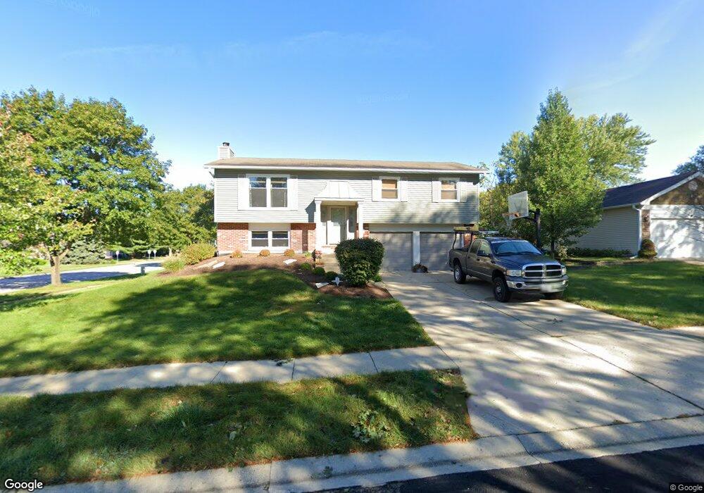
650 Chestnut Ct Unit 1 Algonquin, IL 60102
High Hill Farms NeighborhoodEstimated Value: $314,000 - $388,000
3
Beds
2
Baths
1,258
Sq Ft
$291/Sq Ft
Est. Value
About This Home
This home is located at 650 Chestnut Ct Unit 1, Algonquin, IL 60102 and is currently estimated at $365,623, approximately $290 per square foot. 650 Chestnut Ct Unit 1 is a home located in McHenry County with nearby schools including Westfield Community School, Kenneth E Neubert Elementary School, and United Junior High School.
Ownership History
Date
Name
Owned For
Owner Type
Purchase Details
Closed on
Sep 1, 2011
Sold by
Bankunited
Bought by
Kurowski Daniel
Current Estimated Value
Home Financials for this Owner
Home Financials are based on the most recent Mortgage that was taken out on this home.
Original Mortgage
$109,160
Interest Rate
4.25%
Mortgage Type
FHA
Purchase Details
Closed on
Apr 14, 2011
Sold by
Cardwell
Bought by
Bankunited
Purchase Details
Closed on
Mar 14, 2006
Sold by
Feige Scott and Feige Jeanie
Bought by
Cardwell Dwane A
Home Financials for this Owner
Home Financials are based on the most recent Mortgage that was taken out on this home.
Original Mortgage
$201,200
Interest Rate
6.87%
Mortgage Type
Fannie Mae Freddie Mac
Create a Home Valuation Report for This Property
The Home Valuation Report is an in-depth analysis detailing your home's value as well as a comparison with similar homes in the area
Home Values in the Area
Average Home Value in this Area
Purchase History
| Date | Buyer | Sale Price | Title Company |
|---|---|---|---|
| Kurowski Daniel | $112,000 | Fidelity Natl Title | |
| Bankunited | -- | None Available | |
| Cardwell Dwane A | $251,500 | Multiple |
Source: Public Records
Mortgage History
| Date | Status | Borrower | Loan Amount |
|---|---|---|---|
| Previous Owner | Kurowski Daniel | $109,160 | |
| Previous Owner | Cardwell Dwane A | $201,200 |
Source: Public Records
Tax History Compared to Growth
Tax History
| Year | Tax Paid | Tax Assessment Tax Assessment Total Assessment is a certain percentage of the fair market value that is determined by local assessors to be the total taxable value of land and additions on the property. | Land | Improvement |
|---|---|---|---|---|
| 2024 | $8,092 | $103,448 | $23,457 | $79,991 |
| 2023 | $7,745 | $92,521 | $20,979 | $71,542 |
| 2022 | $6,776 | $79,012 | $21,044 | $57,968 |
| 2021 | $6,532 | $73,609 | $19,605 | $54,004 |
| 2020 | $6,376 | $71,003 | $18,911 | $52,092 |
| 2019 | $6,240 | $67,958 | $18,100 | $49,858 |
| 2018 | $4,791 | $50,261 | $16,721 | $33,540 |
| 2017 | $4,715 | $47,349 | $15,752 | $31,597 |
| 2016 | $4,670 | $44,409 | $14,774 | $29,635 |
| 2013 | -- | $34,114 | $13,783 | $20,331 |
Source: Public Records
Map
Nearby Homes
- 721 Brentwood Ct
- 314 Washington St
- 1235 Fairmont Ct
- 102 Center St
- 266 Grandview Ct
- 909 Roger St
- 16 Brian Ct
- 0 River Dr N Unit MRD12473279
- 1 N Hubbard St
- SWC Talaga and Algonquin Rd
- 809 Menominee Dr
- 807 Menominee Dr
- 420 N Harrison St
- 700 Fairfield Ln
- 937 Mesa Dr
- 541 Blackhawk Dr
- 900 Windstone Ct
- LOT 3 Blackhawk Dr
- 600 E Algonquin Rd
- 1820 Crofton Dr
- 640 Chestnut Ct
- 661 Butterfield Dr
- 651 Butterfield Dr
- 700 Chestnut Ct
- 645 Chestnut Ct
- 630 Chestnut Ct
- 635 Chestnut Ct
- 701 Butterfield Dr
- 641 Butterfield Dr
- 705 Chestnut Ct
- 625 Chestnut Ct
- 710 Chestnut Ct
- 620 Chestnut Ct
- 632 Orchard Ct
- 711 Butterfield Dr
- 631 Butterfield Dr
- 670 Butterfield Dr
- 622 Orchard Ct
- 615 Chestnut Ct
- 660 Butterfield Dr