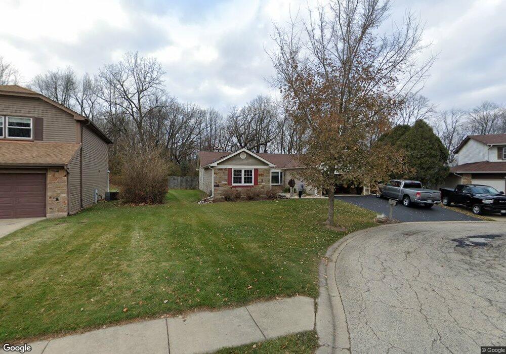
650 Clearview Ct Algonquin, IL 60102
High Hill Farms NeighborhoodEstimated Value: $358,801 - $427,000
3
Beds
2
Baths
1,810
Sq Ft
$218/Sq Ft
Est. Value
About This Home
This home is located at 650 Clearview Ct, Algonquin, IL 60102 and is currently estimated at $395,450, approximately $218 per square foot. 650 Clearview Ct is a home located in McHenry County with nearby schools including Westfield Community School, Kenneth E Neubert Elementary School, and United Junior High School.
Ownership History
Date
Name
Owned For
Owner Type
Purchase Details
Closed on
Oct 12, 1999
Sold by
Sprengel John F and Sprengel Carol A
Bought by
Sprengel John F and Sprengel Carol A
Current Estimated Value
Purchase Details
Closed on
Jan 31, 1997
Sold by
Amber Dennis J and Amber Janet L
Bought by
Sprengel John F and Sprengel Carol A
Home Financials for this Owner
Home Financials are based on the most recent Mortgage that was taken out on this home.
Original Mortgage
$149,850
Interest Rate
7.73%
Create a Home Valuation Report for This Property
The Home Valuation Report is an in-depth analysis detailing your home's value as well as a comparison with similar homes in the area
Home Values in the Area
Average Home Value in this Area
Purchase History
| Date | Buyer | Sale Price | Title Company |
|---|---|---|---|
| Sprengel John F | -- | -- | |
| Sprengel John F | $166,500 | -- |
Source: Public Records
Mortgage History
| Date | Status | Borrower | Loan Amount |
|---|---|---|---|
| Closed | Sprengel John F | $149,850 |
Source: Public Records
Tax History Compared to Growth
Tax History
| Year | Tax Paid | Tax Assessment Tax Assessment Total Assessment is a certain percentage of the fair market value that is determined by local assessors to be the total taxable value of land and additions on the property. | Land | Improvement |
|---|---|---|---|---|
| 2024 | $7,125 | $107,081 | $32,600 | $74,481 |
| 2023 | $6,678 | $95,771 | $29,157 | $66,614 |
| 2022 | $7,031 | $92,988 | $21,044 | $71,944 |
| 2021 | $6,711 | $86,629 | $19,605 | $67,024 |
| 2020 | $6,516 | $83,562 | $18,911 | $64,651 |
| 2019 | $6,334 | $79,979 | $18,100 | $61,879 |
| 2018 | $5,994 | $73,884 | $16,721 | $57,163 |
| 2017 | $5,836 | $69,603 | $15,752 | $53,851 |
| 2016 | $5,708 | $65,281 | $14,774 | $50,507 |
| 2013 | -- | $61,349 | $13,783 | $47,566 |
Source: Public Records
Map
Nearby Homes
- 721 Brentwood Ct
- 615 Harper Dr
- 1235 Fairmont Ct
- 266 Grandview Ct
- 909 Roger St
- 16 Brian Ct
- 102 Center St
- 1431 Essex St
- 809 Menominee Dr
- 807 Menominee Dr
- 937 Mesa Dr
- 700 Fairfield Ln
- 900 Windstone Ct
- LOT 3 Blackhawk Dr
- 0 River Dr N Unit MRD12473279
- 420 N Harrison St
- 1 N Hubbard St
- SWC Talaga and Algonquin Rd
- 135 Arquilla Dr
- Lots 10 & 11 Ramble Rd
- 660 Clearview Ct
- 640 Clearview Ct
- 670 Clearview Ct
- 655 Clearview Ct
- 645 Clearview Ct
- 700 Huntington Ct
- 635 Clearview Ct
- 665 Clearview Ct
- 660 Butterfield Dr
- 700 Brentwood Ct
- 650 Butterfield Dr
- 670 Butterfield Dr
- 640 Butterfield Dr
- 701 Brentwood Ct
- 710 Brentwood Ct
- 630 Butterfield Dr
- 700 Butterfield Dr
- 710 Butterfield Dr
- 711 Brentwood Ct
- 620 Butterfield Dr