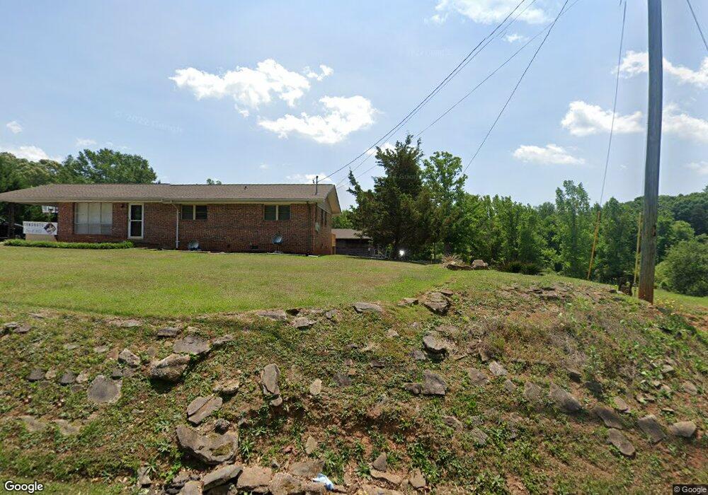
650 Collier Rd Toccoa, GA 30577
Estimated Value: $244,000 - $288,237
3
Beds
2
Baths
2,026
Sq Ft
$127/Sq Ft
Est. Value
About This Home
This home is located at 650 Collier Rd, Toccoa, GA 30577 and is currently estimated at $257,809, approximately $127 per square foot. 650 Collier Rd is a home located in Stephens County with nearby schools including Stephens County High School.
Ownership History
Date
Name
Owned For
Owner Type
Purchase Details
Closed on
Oct 12, 2022
Sold by
Stowe Nancy Kay Westmorelan
Bought by
Stowe Nancy Kay Westmorelan and Stowe Chad Edward
Current Estimated Value
Purchase Details
Closed on
May 12, 2021
Sold by
Stowe Nancy Kay Westmorelan
Bought by
Stowe Nancy Kay Westmorelan and Stowe Chad Edward
Purchase Details
Closed on
Jan 30, 2019
Sold by
Stowe Nancy Kay
Bought by
Smith Lamar T and Smith Patricia F
Purchase Details
Closed on
Apr 10, 2017
Sold by
Westmoreland Julia Ann
Bought by
Westmoreland Stowe Nancy Kay
Purchase Details
Closed on
Feb 24, 2016
Sold by
Westmoreland Julia Ann
Bought by
Dean John C and Dean Peggy R
Purchase Details
Closed on
Mar 10, 2005
Sold by
Westmoreland Julia Ann
Bought by
Dean John C
Purchase Details
Closed on
Dec 1, 1998
Bought by
Westmoreland Julia Ann
Create a Home Valuation Report for This Property
The Home Valuation Report is an in-depth analysis detailing your home's value as well as a comparison with similar homes in the area
Purchase History
| Date | Buyer | Sale Price | Title Company |
|---|---|---|---|
| Stowe Nancy Kay Westmorelan | -- | -- | |
| Stowe Nancy Kay Westmorelan | -- | -- | |
| Smith Lamar T | $9,000 | -- | |
| Westmoreland Stowe Nancy Kay | -- | -- | |
| Dean John C | $30,000 | -- | |
| Dean John C | $50,000 | -- | |
| Westmoreland Julia Ann | -- | -- |
Source: Public Records
Tax History
| Year | Tax Paid | Tax Assessment Tax Assessment Total Assessment is a certain percentage of the fair market value that is determined by local assessors to be the total taxable value of land and additions on the property. | Land | Improvement |
|---|---|---|---|---|
| 2025 | $782 | $73,870 | $15,815 | $58,055 |
| 2024 | $561 | $53,498 | $15,815 | $37,683 |
| 2023 | $1,447 | $50,617 | $15,815 | $34,802 |
| 2022 | $1,218 | $42,904 | $15,037 | $27,867 |
| 2021 | $1,280 | $40,943 | $15,037 | $25,906 |
| 2020 | $1,290 | $40,833 | $15,037 | $25,796 |
| 2019 | $1,325 | $41,798 | $15,815 | $25,983 |
| 2018 | $1,325 | $41,798 | $15,815 | $25,983 |
| 2017 | $224 | $41,798 | $15,815 | $25,983 |
| 2016 | $165 | $39,886 | $13,902 | $25,983 |
| 2015 | $157 | $39,340 | $13,902 | $25,437 |
| 2014 | $143 | $38,857 | $13,903 | $24,954 |
| 2013 | -- | $38,906 | $14,186 | $24,720 |
Source: Public Records
Map
Nearby Homes
- 820 Collier Rd
- 372 Hilltop Way
- 475 Hilltop Way
- 926 Skyline Dr
- 189 Julia Ln
- 526 Poplar St
- 0 Valley Dr Unit 10600268
- 103 Old Liberty Hill Rd
- 43 Sycamore Dr
- 0 Stephen Dr Unit 10662201
- 253 Stancil Dr
- 229 Hilltop Ln
- 151 Richardson St
- 122 King St
- 1203 Mize Rd
- 321 Quail Forest Cir
- 27 Hilltop Ln
- 9 Poplar St
- 1037 S Pond St
- 481 Collins Rd
Your Personal Tour Guide
Ask me questions while you tour the home.