650 Crest Ln Sedro Woolley, WA 98284
Estimated Value: $333,000 - $460,000
1
Bed
1
Bath
936
Sq Ft
$426/Sq Ft
Est. Value
About This Home
This home is located at 650 Crest Ln, Sedro Woolley, WA 98284 and is currently estimated at $398,657, approximately $425 per square foot. 650 Crest Ln is a home located in Whatcom County with nearby schools including Mount Baker Senior High School.
Ownership History
Date
Name
Owned For
Owner Type
Purchase Details
Closed on
Dec 9, 2013
Sold by
Columbia Bank
Bought by
Cole Christine M
Current Estimated Value
Home Financials for this Owner
Home Financials are based on the most recent Mortgage that was taken out on this home.
Original Mortgage
$75,510
Outstanding Balance
$56,058
Interest Rate
4.04%
Mortgage Type
New Conventional
Estimated Equity
$342,599
Purchase Details
Closed on
Sep 26, 2003
Sold by
Larson Maria K
Bought by
Hagstrom Linn D and Hagstrom Wynne A
Create a Home Valuation Report for This Property
The Home Valuation Report is an in-depth analysis detailing your home's value as well as a comparison with similar homes in the area
Home Values in the Area
Average Home Value in this Area
Purchase History
| Date | Buyer | Sale Price | Title Company |
|---|---|---|---|
| Cole Christine M | $74,352 | Chicago Title Insurance | |
| Hagstrom Linn D | -- | -- |
Source: Public Records
Mortgage History
| Date | Status | Borrower | Loan Amount |
|---|---|---|---|
| Open | Cole Christine M | $75,510 |
Source: Public Records
Tax History Compared to Growth
Tax History
| Year | Tax Paid | Tax Assessment Tax Assessment Total Assessment is a certain percentage of the fair market value that is determined by local assessors to be the total taxable value of land and additions on the property. | Land | Improvement |
|---|---|---|---|---|
| 2024 | $1,716 | $211,494 | $108,857 | $102,637 |
| 2023 | $1,716 | $254,048 | $130,760 | $123,288 |
| 2022 | $1,619 | $223,829 | $115,206 | $108,623 |
| 2021 | $1,435 | $177,643 | $91,434 | $86,209 |
| 2020 | $1,414 | $139,876 | $71,995 | $67,881 |
| 2019 | $1,220 | $136,000 | $70,000 | $66,000 |
| 2018 | $1,371 | $127,013 | $54,600 | $72,413 |
| 2017 | $1,110 | $110,949 | $47,704 | $63,245 |
| 2016 | $1,071 | $95,292 | $40,904 | $54,388 |
| 2015 | $1,108 | $91,019 | $39,600 | $51,419 |
| 2014 | -- | $91,198 | $39,600 | $51,598 |
| 2013 | -- | $92,278 | $40,000 | $52,278 |
Source: Public Records
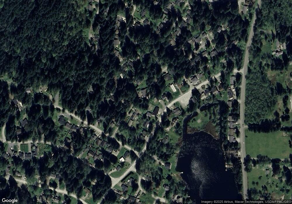
Map
Nearby Homes
- 659 Cain Lake Rd
- 750 West Rd
- 2984 Beaver Place
- 3068 NHN Ash Way
- 2967 Cedar Ln
- 3026 Beaver Place
- 782 Summerset Way
- 561 Rainbow Dr
- 530 Rainbow Dr
- 534 Hilltop Dr
- 582 Summit Place
- 519 Cain Lake Rd
- 3130 S Bay Vista Dr
- 478 Fir Ln
- 482 Hilltop Dr
- 493 Peak Dr
- 481 Peak Dr
- 440 E Alder Dr
- 439 Fir Ln
- 0 Peak Dr Unit NWM2377365