650 Freeman Brock Rd Auburn, GA 30011
Estimated Value: $554,390 - $668,000
4
Beds
3
Baths
2,902
Sq Ft
$211/Sq Ft
Est. Value
About This Home
This home is located at 650 Freeman Brock Rd, Auburn, GA 30011 and is currently estimated at $612,098, approximately $210 per square foot. 650 Freeman Brock Rd is a home located in Barrow County with nearby schools including Bramlett Elementary School, Russell Middle School, and Winder-Barrow High School.
Ownership History
Date
Name
Owned For
Owner Type
Purchase Details
Closed on
Aug 31, 2017
Sold by
Bramlett Jason E
Bought by
Wall Brandon E and Wall Christina R
Current Estimated Value
Home Financials for this Owner
Home Financials are based on the most recent Mortgage that was taken out on this home.
Original Mortgage
$260,800
Outstanding Balance
$217,962
Interest Rate
3.93%
Mortgage Type
New Conventional
Estimated Equity
$394,136
Purchase Details
Closed on
Nov 25, 2003
Sold by
Bramlett Eric
Bought by
Bramlett Jason E and Bramlett Jennifer
Home Financials for this Owner
Home Financials are based on the most recent Mortgage that was taken out on this home.
Original Mortgage
$225,000
Interest Rate
5.98%
Create a Home Valuation Report for This Property
The Home Valuation Report is an in-depth analysis detailing your home's value as well as a comparison with similar homes in the area
Home Values in the Area
Average Home Value in this Area
Purchase History
| Date | Buyer | Sale Price | Title Company |
|---|---|---|---|
| Wall Brandon E | $326,000 | -- | |
| Bramlett Jason E | -- | -- |
Source: Public Records
Mortgage History
| Date | Status | Borrower | Loan Amount |
|---|---|---|---|
| Open | Wall Brandon E | $260,800 | |
| Previous Owner | Bramlett Jason E | $225,000 |
Source: Public Records
Tax History Compared to Growth
Tax History
| Year | Tax Paid | Tax Assessment Tax Assessment Total Assessment is a certain percentage of the fair market value that is determined by local assessors to be the total taxable value of land and additions on the property. | Land | Improvement |
|---|---|---|---|---|
| 2024 | $4,524 | $188,057 | $38,830 | $149,227 |
| 2023 | $4,089 | $188,057 | $38,830 | $149,227 |
| 2022 | $4,048 | $146,208 | $38,830 | $107,378 |
| 2021 | $3,803 | $129,915 | $31,064 | $98,851 |
| 2020 | $3,657 | $124,771 | $25,920 | $98,851 |
| 2019 | $3,634 | $121,883 | $25,920 | $95,963 |
| 2018 | $3,600 | $121,883 | $25,920 | $95,963 |
| 2017 | $2,601 | $89,319 | $25,056 | $64,263 |
| 2016 | $2,514 | $87,101 | $25,056 | $62,045 |
| 2015 | $2,548 | $87,837 | $25,056 | $62,781 |
| 2014 | $2,231 | $75,842 | $12,278 | $63,564 |
| 2013 | -- | $72,289 | $12,277 | $60,011 |
Source: Public Records
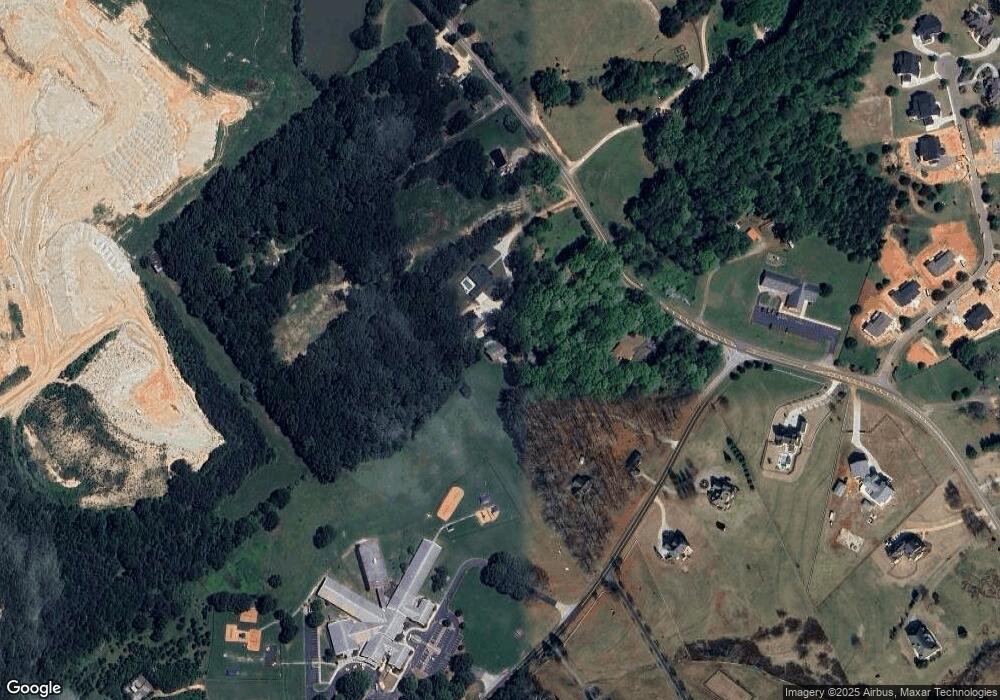
Map
Nearby Homes
- 641 Freeman Brock Rd
- 555 Versailles Dr
- 0 Dee Kennedy Rd Unit 10591909
- 0 Dee Kennedy Rd Unit 7638996
- 1197 Dee Kennedy Rd
- 1420 Flanagan Mill Dr
- 1037 Rolling Ridge Ln
- 817 Kenwood Ln
- 127 Deer Canyon Dr
- 83 Deer Canyon Dr
- 101 Deer Canyon Dr
- 51 Deer Canyon Dr
- 37 Deer Canyon Dr
- 23 Deer Canyon Dr
- 1329 Harmony Grove Church Rd
- 156 Rocky Ridge Way
- 150 Rocky Ridge Way
- 1082 Dee Kennedy Rd
- 1074 Dee Kennedy Rd
- 644 Freeman Brock Rd
- 644 Freeman Brock Rd
- 1064 Dee Kennedy Rd
- 638 Freeman Brock Rd
- 1086 Dee Kennedy Rd
- 1092 Dee Kennedy Rd
- 647 Freeman Brock Rd
- 1096 Dee Kennedy Rd
- 1104 Dee Kennedy Rd
- 1106 Dee Kennedy Rd
- 1054 Dee Kennedy Rd
- 0 Freeman Brock Rd Unit 8531345
- 0 Freeman Brock Rd Unit 8206493
- 0 Freeman Brock Rd Unit 8541165
- 0 Freeman Brock Rd Unit 7481814
- 1083 Dee Kennedy Rd
- 625 Freeman Brock Rd
- 1052 Dee Kennedy Rd