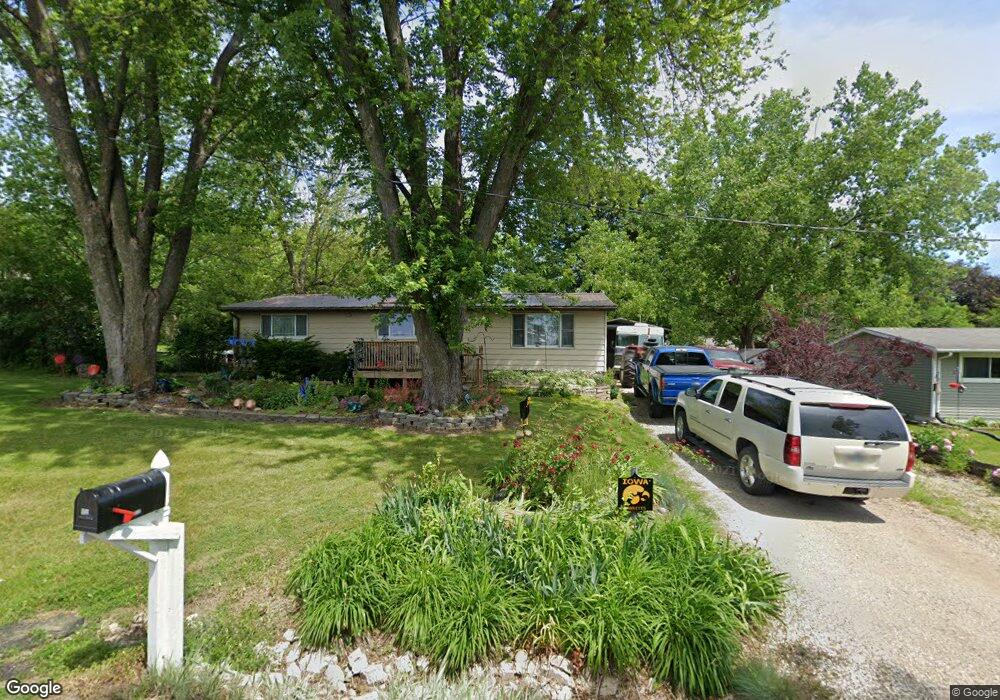
650 George St Hartford, IA 50118
Warren County NeighborhoodEstimated Value: $172,000 - $220,000
4
Beds
2
Baths
1,152
Sq Ft
$173/Sq Ft
Est. Value
About This Home
This home is located at 650 George St, Hartford, IA 50118 and is currently estimated at $199,541, approximately $173 per square foot. 650 George St is a home located in Warren County with nearby schools including Carlisle Elementary School, Hartford Upper Elementary School, and Carlisle Middle School.
Ownership History
Date
Name
Owned For
Owner Type
Purchase Details
Closed on
Mar 21, 2024
Sold by
Wilson Charles H and Wilson Valerie A
Bought by
Wilson Charles H and Wilson Valerie A
Current Estimated Value
Purchase Details
Closed on
Dec 6, 2021
Sold by
Wilson Pauline K
Bought by
Wilson Charles H
Home Financials for this Owner
Home Financials are based on the most recent Mortgage that was taken out on this home.
Original Mortgage
$112,600
Interest Rate
3.45%
Mortgage Type
New Conventional
Purchase Details
Closed on
Nov 5, 2010
Sold by
Reed Aubrey and Reed Marvel
Bought by
Wilson Charles and Wilson Pauline
Create a Home Valuation Report for This Property
The Home Valuation Report is an in-depth analysis detailing your home's value as well as a comparison with similar homes in the area
Home Values in the Area
Average Home Value in this Area
Purchase History
| Date | Buyer | Sale Price | Title Company |
|---|---|---|---|
| Wilson Charles H | -- | None Listed On Document | |
| Wilson Charles H | -- | None Listed On Document | |
| Wilson Charles | -- | -- |
Source: Public Records
Mortgage History
| Date | Status | Borrower | Loan Amount |
|---|---|---|---|
| Previous Owner | Wilson Charles H | $112,600 |
Source: Public Records
Tax History Compared to Growth
Tax History
| Year | Tax Paid | Tax Assessment Tax Assessment Total Assessment is a certain percentage of the fair market value that is determined by local assessors to be the total taxable value of land and additions on the property. | Land | Improvement |
|---|---|---|---|---|
| 2024 | $2,676 | $173,800 | $13,500 | $160,300 |
| 2023 | $2,462 | $173,800 | $13,500 | $160,300 |
| 2022 | $2,344 | $128,600 | $13,500 | $115,100 |
| 2021 | $2,426 | $128,600 | $13,500 | $115,100 |
| 2020 | $2,426 | $122,100 | $13,500 | $108,600 |
| 2019 | $2,234 | $122,100 | $13,500 | $108,600 |
| 2018 | $2,220 | $117,100 | $0 | $0 |
| 2017 | $2,220 | $117,100 | $0 | $0 |
| 2016 | $1,986 | $108,900 | $0 | $0 |
| 2015 | $1,986 | $108,900 | $0 | $0 |
| 2014 | $1,828 | $93,000 | $0 | $0 |
Source: Public Records
Map
Nearby Homes
- 00 Highway 5
- 3333 220th Ave
- 5825 G24 Hwy
- 22955 Buchanan Trail
- 5101 S23 Hwy
- 5198 S23 Hwy
- 19573 G24 Hwy
- 18670 Delaware Place
- 01 S23 Hwy
- 24479 Elthon Place
- 203 Brown St
- 118 Dubuque St
- 502 Brown St
- Parcel FD 18000 BLK Fulton St
- Parcel FC 18000 BLK Fulton St
- 12028 SE 64th Ave
- 415 Jefferson St
- 1270 Hardin Dr
- 710 John Clinton Dr
- 21438 Hayes St