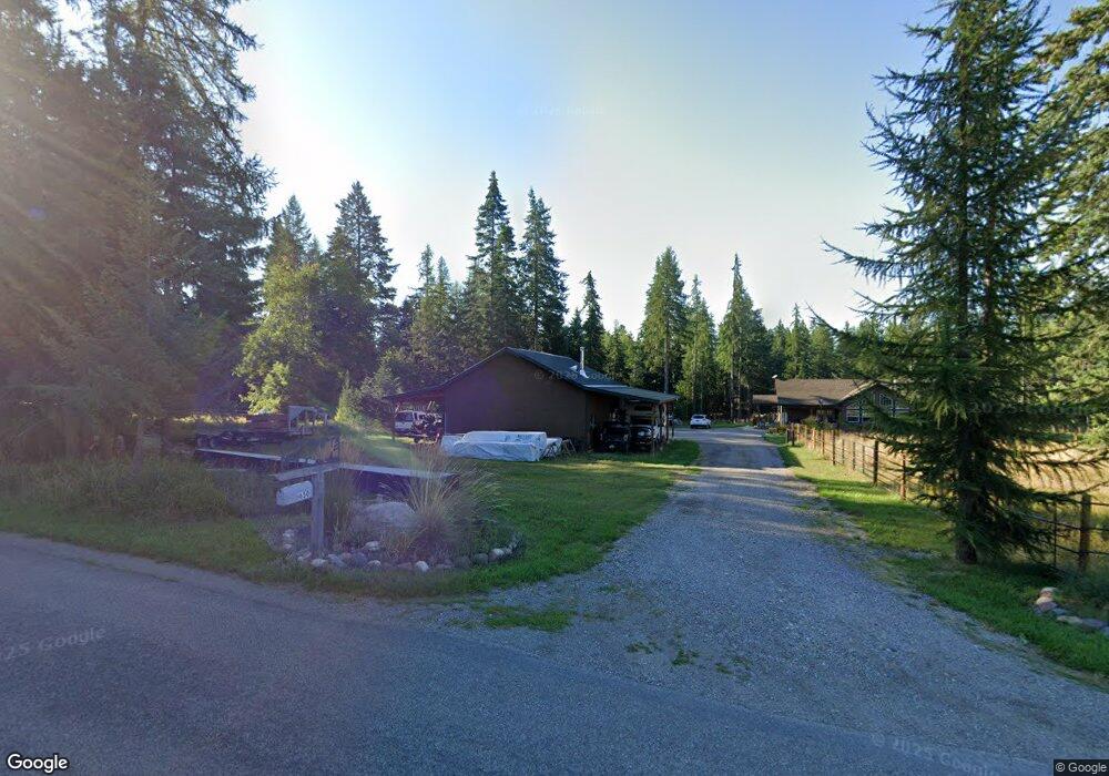
650 La Brant Rd Kalispell, MT 59901
Estimated Value: $936,000 - $1,211,000
3
Beds
2
Baths
2,208
Sq Ft
$510/Sq Ft
Est. Value
About This Home
This home is located at 650 La Brant Rd, Kalispell, MT 59901 and is currently estimated at $1,126,238, approximately $510 per square foot. 650 La Brant Rd is a home located in Flathead County with nearby schools including Bigfork Elementary School, Bigfork Middle School, and Bigfork High School.
Ownership History
Date
Name
Owned For
Owner Type
Purchase Details
Closed on
Mar 13, 2013
Sold by
Reynolds Sean S
Bought by
Reynolds Sean S and Gartner Charlene M
Current Estimated Value
Purchase Details
Closed on
Mar 28, 2011
Sold by
Reynolds Sean S
Bought by
Reynolds Sean S
Purchase Details
Closed on
Mar 24, 2011
Sold by
Reynolds Travis F
Bought by
Reynolds Sean S
Purchase Details
Closed on
Mar 21, 2011
Sold by
Wharton Teresa K
Bought by
Reynolds Sean S
Create a Home Valuation Report for This Property
The Home Valuation Report is an in-depth analysis detailing your home's value as well as a comparison with similar homes in the area
Purchase History
| Date | Buyer | Sale Price | Title Company |
|---|---|---|---|
| Reynolds Sean S | -- | None Available | |
| Reynolds Sean S | -- | Alliance Title | |
| Reynolds Sean S | -- | Alliance Title | |
| Reynolds Sean S | -- | Alliance Title | |
| Reynolds Sean S | -- | Alliance Title |
Source: Public Records
Tax History
| Year | Tax Paid | Tax Assessment Tax Assessment Total Assessment is a certain percentage of the fair market value that is determined by local assessors to be the total taxable value of land and additions on the property. | Land | Improvement |
|---|---|---|---|---|
| 2025 | $3,307 | $966,600 | $0 | $0 |
| 2024 | $4,236 | $880,700 | $0 | $0 |
| 2023 | $4,306 | $880,700 | $0 | $0 |
| 2022 | $3,590 | $523,300 | $0 | $0 |
| 2021 | $3,716 | $523,300 | $0 | $0 |
| 2020 | $3,570 | $478,000 | $0 | $0 |
| 2019 | $3,431 | $478,000 | $0 | $0 |
| 2018 | $3,419 | $451,900 | $0 | $0 |
| 2017 | $3,173 | $451,900 | $0 | $0 |
| 2016 | $2,986 | $398,800 | $0 | $0 |
| 2015 | $2,756 | $398,800 | $0 | $0 |
| 2014 | $3,276 | $288,585 | $0 | $0 |
Source: Public Records
Map
Nearby Homes
- 369 La Brant Rd
- 685 Lindsey Ct
- 989 Lake of the Woods Ln
- 221 Belterra Ln
- 1029 Lake of the Woods Ln
- 33 Shale Ct
- 5464 Montana Highway 35
- 1262 Riverside Rd
- 203 Muth Ln
- 306 Parker Lakes Rd
- 300 S Many Lakes Dr
- 5110 Montana Highway 35
- 701 McCaffery Rd
- 222/226 Many Lakes Dr
- 103 E Many Lakes Dr
- 155 Spotted Fawn Ln
- 129 Foothill Trail
- 1874 Echo Cabin Loop
- 3039 and 3005 Foothill Rd
- 828 Abbot Village Dr
- 11 Grizzly Base Ln
- 11 Grizzly Base Ln
- 699 La Brant Rd
- 690 Labrandt Rd
- 691 La Brant Rd
- 675 La Brant Rd
- 67 Grizzly Base Ln
- 695 La Brant Rd
- 697 La Brant Rd
- 585 La Brant Rd
- 580 La Brant Rd
- 585 La Brant Rd
- 760 La Brant Rd
- 725 La Brant Rd
- 135 Kohler Lake Ln
- 121 Grizzly Base Ln
- 712 La Brant Rd
- 706 La Brant Rd
- 745 La Brant Rd
- 565 La Brant Rd
Your Personal Tour Guide
Ask me questions while you tour the home.