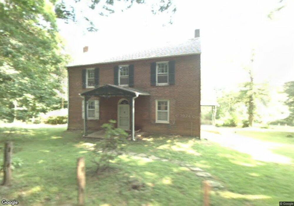
650 Larkin Bailey Rd West Chester, PA 19382
Estimated Value: $644,000 - $674,000
4
Beds
2
Baths
2,280
Sq Ft
$289/Sq Ft
Est. Value
About This Home
This home is located at 650 Larkin Bailey Rd, West Chester, PA 19382 and is currently estimated at $658,698, approximately $288 per square foot. 650 Larkin Bailey Rd is a home located in Chester County with nearby schools including Pocopson Elementary School, Charles F. Patton Middle School, and Unionville High School.
Ownership History
Date
Name
Owned For
Owner Type
Purchase Details
Closed on
Mar 21, 2025
Sold by
Miller Helena B and Miller Helena
Bought by
Helena B Miller Trust and Miller
Current Estimated Value
Purchase Details
Closed on
Dec 11, 2002
Sold by
Miller Brooke and Estate Of Jane Rupert
Bought by
Miller Brooke and Miller Helena
Purchase Details
Closed on
Dec 9, 2002
Sold by
Scarlett William J and Estate Of Clara Louise Rupert
Bought by
Rupert Jane
Create a Home Valuation Report for This Property
The Home Valuation Report is an in-depth analysis detailing your home's value as well as a comparison with similar homes in the area
Home Values in the Area
Average Home Value in this Area
Purchase History
| Date | Buyer | Sale Price | Title Company |
|---|---|---|---|
| Helena B Miller Trust | -- | None Listed On Document | |
| Miller Brooke | -- | -- | |
| Rupert Jane | -- | -- |
Source: Public Records
Tax History Compared to Growth
Tax History
| Year | Tax Paid | Tax Assessment Tax Assessment Total Assessment is a certain percentage of the fair market value that is determined by local assessors to be the total taxable value of land and additions on the property. | Land | Improvement |
|---|---|---|---|---|
| 2025 | $7,191 | $185,810 | $62,310 | $123,500 |
| 2024 | $7,191 | $185,810 | $62,310 | $123,500 |
| 2023 | $6,964 | $185,810 | $62,310 | $123,500 |
| 2022 | $6,821 | $185,810 | $62,310 | $123,500 |
| 2021 | $6,656 | $185,810 | $62,310 | $123,500 |
| 2020 | $6,639 | $185,810 | $62,310 | $123,500 |
| 2019 | $6,518 | $185,810 | $62,310 | $123,500 |
| 2018 | $6,499 | $185,810 | $62,310 | $123,500 |
| 2017 | $6,366 | $185,810 | $62,310 | $123,500 |
| 2016 | $737 | $185,810 | $62,310 | $123,500 |
| 2015 | $737 | $185,810 | $62,310 | $123,500 |
| 2014 | $737 | $185,810 | $62,310 | $123,500 |
Source: Public Records
Map
Nearby Homes
- 0 Haines Mill Rd
- 741 Haines Mill Rd
- 2039-2035 Lenape Unionville Rd
- 765 Folly Hill Rd
- 1936 Lenape Rd
- 1740 Lenape Rd
- 327 E Street Rd
- 323 E Street Rd
- 186 Bragg Hill Rd
- 1053 Unionville Wawaset Rd
- 454 Larkspur Dr
- 505 Wisteria Dr
- 1050 Glen Hall Rd
- 907 Unionville Wawaset Rd
- 213 Katsura Dr
- 7 Bittersweet Dr
- 113 Lantana Dr
- 347 Astilbe Dr
- 101 Bailey Cir
- 30 Penn Dr
- 114 Osborne Cir
- 112 Osborne Cir
- 1849 Lenape Unionville Rd
- 700 Haines Mill Rd
- 110 Osborne Cir
- 118 Osborne Cir
- 108 Osborne Cir
- 1846 Lenape Unionville Rd
- 119 Osborne Cir
- 117 Osborne Cir
- 106 Osborne Cir
- 121 Osborne Cir
- 706 Haines Mill Rd
- 115 Osborne Cir
- 1838 Lenape Unionville Rd
- 104 Osborne Cir
- 707 Haines Mill Rd
- 111 Osborne Cir
- 113 Osborne Cir
- 102 Osborne Cir