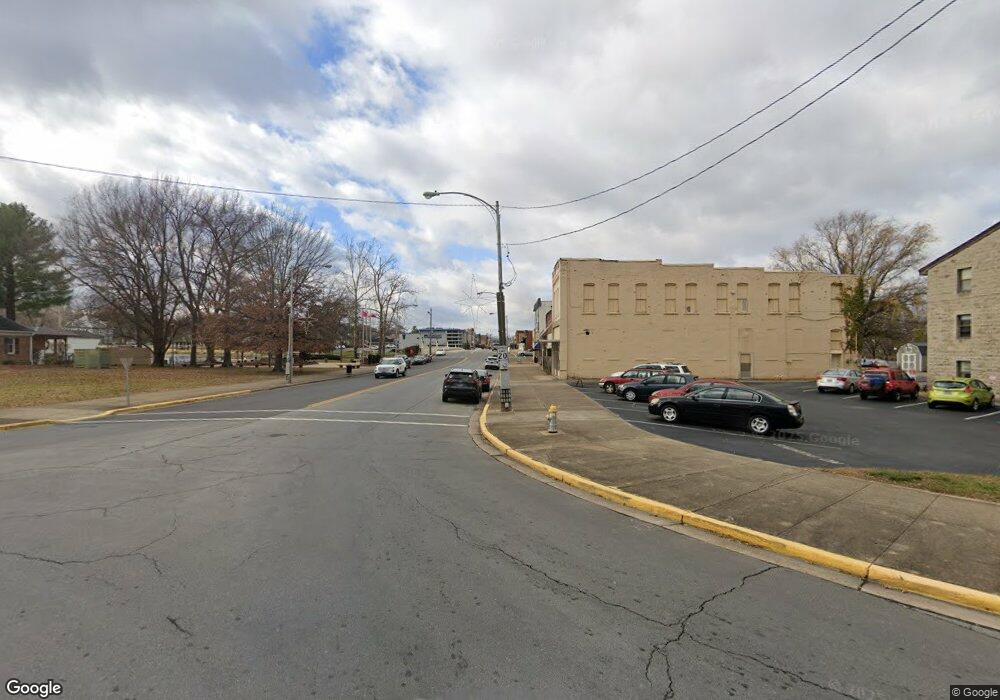
650 Mccloud Rd Elizabethton, TN 37643
Estimated Value: $260,054 - $314,000
3
Beds
3
Baths
1,794
Sq Ft
$162/Sq Ft
Est. Value
About This Home
This home is located at 650 Mccloud Rd, Elizabethton, TN 37643 and is currently estimated at $290,764, approximately $162 per square foot. 650 Mccloud Rd is a home located in Carter County with nearby schools including East Tn Christian Home & Academy.
Ownership History
Date
Name
Owned For
Owner Type
Purchase Details
Closed on
Sep 1, 2011
Sold by
Sluder Janie Gail
Bought by
Lawrence Charles J
Current Estimated Value
Home Financials for this Owner
Home Financials are based on the most recent Mortgage that was taken out on this home.
Original Mortgage
$132,000
Outstanding Balance
$90,995
Interest Rate
4.4%
Mortgage Type
Commercial
Estimated Equity
$199,769
Purchase Details
Closed on
Jul 20, 1994
Sold by
Crowe Jimmy D
Bought by
Mckeehan Robert A
Purchase Details
Closed on
Mar 5, 1974
Bought by
Sluder Wade C
Create a Home Valuation Report for This Property
The Home Valuation Report is an in-depth analysis detailing your home's value as well as a comparison with similar homes in the area
Home Values in the Area
Average Home Value in this Area
Purchase History
| Date | Buyer | Sale Price | Title Company |
|---|---|---|---|
| Lawrence Charles J | $132,000 | -- | |
| Mckeehan Robert A | -- | -- | |
| Sluder Wade C | -- | -- |
Source: Public Records
Mortgage History
| Date | Status | Borrower | Loan Amount |
|---|---|---|---|
| Open | Lawrence Charles J | $132,000 |
Source: Public Records
Tax History Compared to Growth
Tax History
| Year | Tax Paid | Tax Assessment Tax Assessment Total Assessment is a certain percentage of the fair market value that is determined by local assessors to be the total taxable value of land and additions on the property. | Land | Improvement |
|---|---|---|---|---|
| 2024 | $686 | $31,475 | $4,050 | $27,425 |
| 2023 | $668 | $31,475 | $0 | $0 |
| 2022 | $622 | $30,625 | $4,050 | $26,575 |
| 2021 | $622 | $30,625 | $4,050 | $26,575 |
| 2020 | $629 | $30,625 | $4,050 | $26,575 |
| 2019 | $629 | $25,450 | $3,300 | $22,150 |
| 2018 | $629 | $25,450 | $3,300 | $22,150 |
| 2017 | $629 | $25,450 | $3,300 | $22,150 |
| 2016 | $624 | $25,450 | $3,300 | $22,150 |
| 2015 | $624 | $25,450 | $3,300 | $22,150 |
| 2014 | $633 | $25,850 | $3,300 | $22,550 |
Source: Public Records
Map
Nearby Homes
- 2100 State Line Rd
- 2108 State Line Rd
- 133 Bishop Cir
- 138 Lexington Ave
- 142 Earl Ave
- 136 Ruby Ave
- 2600 State Line Rd
- 113 Constitution Ave
- 604 Trudy St
- 904 Walker St
- 1005 S 2nd St
- 816 Riverview Dr
- 910 Fairview St
- 503 Florence St
- 806 Tipton St
- 722 S Watauga Ave
- 705 Holston Ave
- 612 S Lynn Ave
- 616 S Pine St
- 608 S Pine St
- 700 Mccloud Rd
- 600 Mccloud Rd
- 699 McCloud Rd (Off Stateline Rd)
- 800 Mccloud Rd
- 114 Cloudland Rd
- 114 Cloudland Rd
- 699 Mccloud Rd
- 500 Mccloud Rd
- 110 Cloudland Rd
- 110 Cloudland Rd
- 530 Mc Cloud Rd
- 515 Mccloud Rd
- 1906 State Line Rd
- 1912 State Line Rd
- 1912 State Line Rd
- 1912 State Line Rd Unit 1
- 505-519 Mccloud Unit 10
- 1902 State Line Rd
- 244 Bunker Hill Rd
- 1910 State Line Rd
