650 Mere Point Rd Brunswick, ME 04011
Estimated Value: $3,208,000 - $5,129,000
3
Beds
4
Baths
4,354
Sq Ft
$1,047/Sq Ft
Est. Value
About This Home
This home is located at 650 Mere Point Rd, Brunswick, ME 04011 and is currently estimated at $4,559,823, approximately $1,047 per square foot. 650 Mere Point Rd is a home located in Cumberland County with nearby schools including Priest Elementary-Middle School, Kate Furbish Elementary School, and Brunswick Jr High School.
Ownership History
Date
Name
Owned For
Owner Type
Purchase Details
Closed on
Jul 23, 2013
Sold by
Gloria F Fife T and Fife James L
Bought by
Gloria F Fife T and Fife James L
Current Estimated Value
Purchase Details
Closed on
Jul 19, 2013
Sold by
Fife Gloria F Est and Fife James L
Bought by
Gloria F Fife T and Fife James L
Create a Home Valuation Report for This Property
The Home Valuation Report is an in-depth analysis detailing your home's value as well as a comparison with similar homes in the area
Home Values in the Area
Average Home Value in this Area
Purchase History
| Date | Buyer | Sale Price | Title Company |
|---|---|---|---|
| Gloria F Fife T | -- | -- | |
| Gloria F Fife T | -- | -- | |
| Gloria F Fife T | -- | -- |
Source: Public Records
Tax History Compared to Growth
Tax History
| Year | Tax Paid | Tax Assessment Tax Assessment Total Assessment is a certain percentage of the fair market value that is determined by local assessors to be the total taxable value of land and additions on the property. | Land | Improvement |
|---|---|---|---|---|
| 2024 | $31,876 | $1,336,500 | $363,900 | $972,600 |
| 2023 | $31,090 | $1,334,900 | $363,900 | $971,000 |
| 2022 | $12,834 | $591,700 | $363,900 | $227,800 |
| 2021 | $25,019 | $1,199,400 | $363,900 | $835,500 |
| 2020 | $23,118 | $1,134,900 | $363,900 | $771,000 |
| 2019 | $21,798 | $1,105,400 | $334,600 | $770,800 |
| 2018 | $20,536 | $1,105,400 | $334,600 | $770,800 |
| 2017 | $20,306 | $1,105,400 | $334,600 | $770,800 |
| 2016 | $18,822 | $641,300 | $148,900 | $492,400 |
| 2015 | $18,187 | $641,300 | $148,900 | $492,400 |
| 2014 | $17,380 | $641,300 | $148,900 | $492,400 |
| 2013 | -- | $648,600 | $156,200 | $492,400 |
Source: Public Records
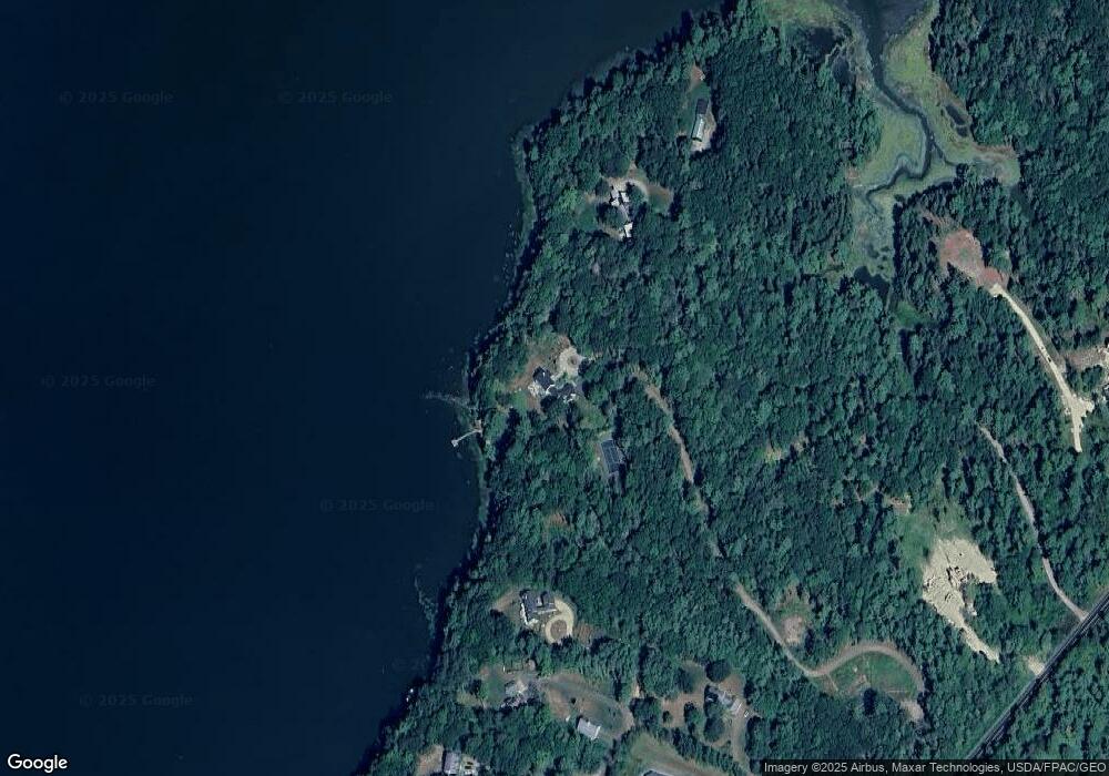
Map
Nearby Homes
- 0 Gundalo Gap Rd Unit 1638108
- 853 Mere Point Rd
- Map 80 Lot 18-0 White Island
- 250 Mere Point Rd
- 6 Chebeague Ln
- 49 Gleed Dr
- 206 Woodside Rd
- 46 Blackstone Club Rd
- 54 Linnell Cir
- 5 Round Hill Ln
- 11 Elwell Ln
- 29 Elwell Ln
- 10 Betina Ln
- 46 Casco Rd
- 10 Kitt St
- Lot 14 Village Cir
- 270 Harpswell Neck Rd
- 32 Village Cir
- Lot 8 Village Cir
- 23 Village Cir
- 650 Mere Point Rd
- 650 Mere Point Rd
- 642 Mere Point Rd
- 642 Mere Point Rd Unit 2
- 642 Mere Point Rd
- 46 Gundalo Gap Rd
- 50 Gundalow Gap
- 50 Gundalo Gap Rd
- 50 Gundalo Gap Rd
- 36 Gundalo Gap Rd
- 0 Gundalo Gap Rd Unit 759593
- 0 Gundalo Gap Rd Unit 1433050
- 76 Gundalo Gap Rd
- 56 Gundalo Gap Rd
- 70 Gundalo Gap Rd
- 19 Gundalo Gap Rd
- Lot 2 711 Mere Point Rd
- TBD Mere Point Rd
- 682 Mere Point Rd
- 509 Mere Point Rd