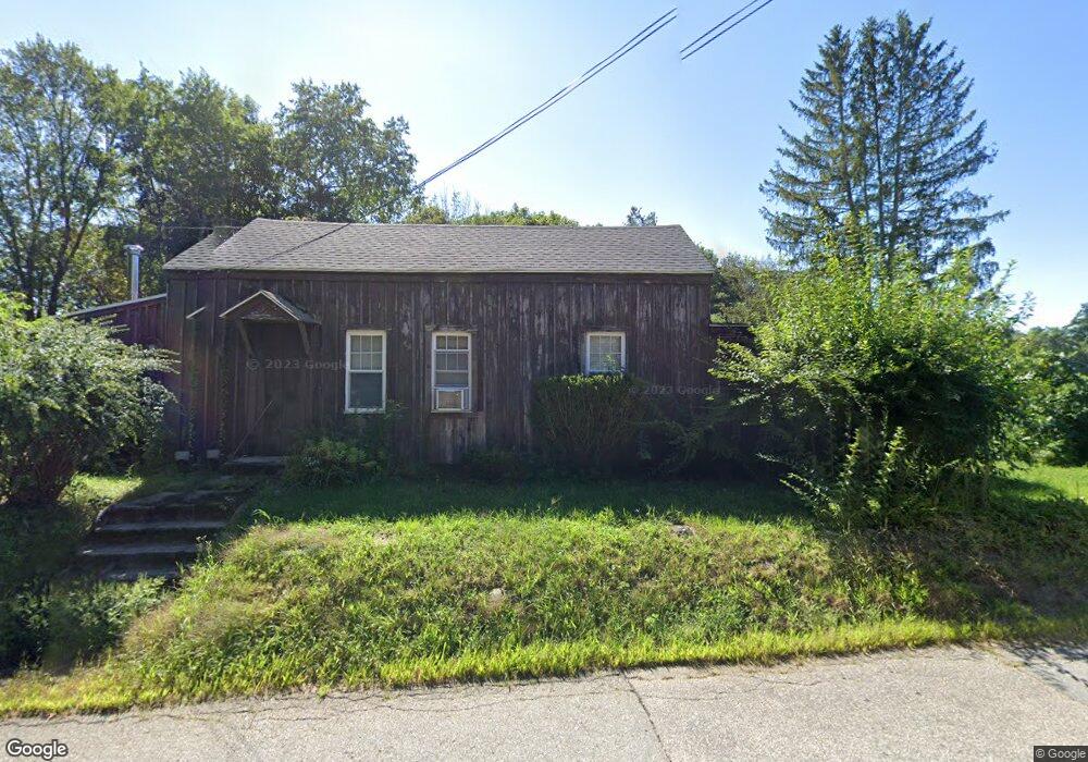
650 Podunk Rd East Brookfield, MA 01515
Estimated Value: $293,683 - $543,000
3
Beds
2
Baths
986
Sq Ft
$378/Sq Ft
Est. Value
About This Home
This home is located at 650 Podunk Rd, East Brookfield, MA 01515 and is currently estimated at $372,421, approximately $377 per square foot. 650 Podunk Rd is a home located in Worcester County with nearby schools including David Prouty High School.
Create a Home Valuation Report for This Property
The Home Valuation Report is an in-depth analysis detailing your home's value as well as a comparison with similar homes in the area
Home Values in the Area
Average Home Value in this Area
Tax History
| Year | Tax Paid | Tax Assessment Tax Assessment Total Assessment is a certain percentage of the fair market value that is determined by local assessors to be the total taxable value of land and additions on the property. | Land | Improvement |
|---|---|---|---|---|
| 2025 | $3,216 | $250,500 | $72,700 | $177,800 |
| 2024 | $2,862 | $224,100 | $66,200 | $157,900 |
| 2023 | $2,844 | $216,900 | $60,100 | $156,800 |
| 2022 | $2,636 | $194,800 | $51,800 | $143,000 |
| 2021 | $2,576 | $173,700 | $51,800 | $121,900 |
| 2020 | $2,456 | $165,700 | $51,800 | $113,900 |
| 2019 | $2,563 | $155,600 | $51,800 | $103,800 |
| 2018 | $2,477 | $160,200 | $51,800 | $108,400 |
| 2017 | $2,414 | $148,300 | $47,900 | $100,400 |
| 2016 | $2,441 | $139,800 | $47,900 | $91,900 |
| 2015 | $2,427 | $139,800 | $47,900 | $91,900 |
| 2014 | $2,435 | $139,800 | $47,900 | $91,900 |
Source: Public Records
Map
Nearby Homes
- 117 Draper Rd
- 145 Draper Rd
- 172 Stone Rd
- 23 William Casey Rd
- 59 Cranberry Meadow Shore Rd
- 100 Rice Rd
- 35 Nashoba Rd
- 49 Jennings Rd
- 0 Hiland Rd
- 53 Fitzgerald Rd
- 32 Jennings Rd
- 1 Lane 22
- 78 S Spencer Rd
- 126 Howe St
- 72 Park Rd
- 294 E Main St
- Lot 97/99 E Main St
- 31 Glen Echo Shore Rd
- 86 Rice Corner Rd
- 112 Gleason Ave
Your Personal Tour Guide
Ask me questions while you tour the home.