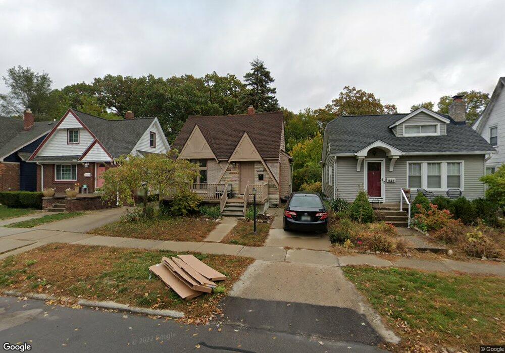
650 Shasta Plc Ferndale, MI 48220
Estimated Value: $268,071 - $343,000
3
Beds
2
Baths
1,364
Sq Ft
$224/Sq Ft
Est. Value
About This Home
This home is located at 650 Shasta Plc, Ferndale, MI 48220 and is currently estimated at $305,268, approximately $223 per square foot. 650 Shasta Plc is a home located in Oakland County with nearby schools including Ferndale Lower Elementary Campus, Ferndale Upper Elementary Campus, and Ferndale Middle School.
Ownership History
Date
Name
Owned For
Owner Type
Purchase Details
Closed on
Nov 2, 2015
Sold by
Ashby Casey T and Wade Brynn E
Bought by
The Ashby Wade Family Trust and Wade Brynn E
Current Estimated Value
Purchase Details
Closed on
Jun 8, 2007
Sold by
Clevenger Beth and Baxter Beth Clevenger
Bought by
Ashby Casey and Wade Brynn
Purchase Details
Closed on
May 21, 1999
Sold by
Emmi Vincent C
Bought by
Clevenger Beth
Create a Home Valuation Report for This Property
The Home Valuation Report is an in-depth analysis detailing your home's value as well as a comparison with similar homes in the area
Home Values in the Area
Average Home Value in this Area
Purchase History
| Date | Buyer | Sale Price | Title Company |
|---|---|---|---|
| The Ashby Wade Family Trust | -- | Attorney | |
| Ashby Casey | $163,700 | Capital Title Ins Agency | |
| Clevenger Beth | $112,500 | -- |
Source: Public Records
Mortgage History
| Date | Status | Borrower | Loan Amount |
|---|---|---|---|
| Closed | Clevenger Beth | -- |
Source: Public Records
Tax History Compared to Growth
Tax History
| Year | Tax Paid | Tax Assessment Tax Assessment Total Assessment is a certain percentage of the fair market value that is determined by local assessors to be the total taxable value of land and additions on the property. | Land | Improvement |
|---|---|---|---|---|
| 2024 | $3,241 | $115,700 | $0 | $0 |
| 2023 | $3,130 | $106,960 | $0 | $0 |
| 2022 | $3,101 | $100,250 | $0 | $0 |
| 2021 | $3,091 | $94,300 | $0 | $0 |
| 2020 | $2,960 | $93,610 | $0 | $0 |
| 2019 | $2,981 | $78,150 | $0 | $0 |
| 2018 | $2,973 | $66,740 | $0 | $0 |
| 2017 | $2,929 | $64,870 | $0 | $0 |
| 2016 | $2,893 | $55,450 | $0 | $0 |
| 2015 | -- | $48,300 | $0 | $0 |
| 2014 | -- | $40,990 | $0 | $0 |
| 2011 | -- | $44,990 | $0 | $0 |
Source: Public Records
Map
Nearby Homes
- 768 Pinecrest Dr
- 832 Pinecrest Dr
- 695 Livernois St
- 21078 Mitchelldale Ave
- 860 Gardendale St
- 21392 Bethlawn Blvd
- 591 Parkside Way Unit 16
- 535 W Marshall St
- 20805 Bethlawn Blvd
- 21341 Reimanville Ave
- 20401 Santa Rosa Dr
- 21036 Westview Ave
- 1538 Leroy St
- 546 Leroy St
- 20235 Prairie St
- 20235 San Juan Dr
- 808 Laprairie St
- 541 Albany St
- 21395 Westview Ave
- 1526 Albany St
- 646 Shasta Place
- 658 Shasta Place
- 630 Shasta Place
- 664 Shasta Place
- 650 Shasta Place
- 624 Shasta Place
- 647 Shasta Place
- 653 Shasta Place
- 670 Shasta Place
- 637 Shasta Place
- 659 Shasta Place
- 636 Shasta Place
- 673 Shasta Place
- 631 Shasta Place
- 665 Shasta Place
- 673 Shasta Plc
- 641 Kensington Ave
- 649 Kensington Ave
- 629 Kensington Ave
- 1057 Marshfield St