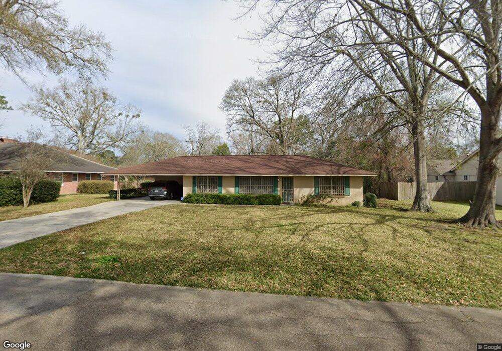
650 Taylor St Baton Rouge, LA 70802
Highlands/Perkins NeighborhoodEstimated Value: $135,000 - $164,000
--
Bed
--
Bath
1,338
Sq Ft
$112/Sq Ft
Est. Value
About This Home
This home is located at 650 Taylor St, Baton Rouge, LA 70802 and is currently estimated at $150,184, approximately $112 per square foot. 650 Taylor St is a home located in East Baton Rouge Parish with nearby schools including University Terrace Elementary School, Glasgow Middle School, and Mckinley Senior High School.
Ownership History
Date
Name
Owned For
Owner Type
Purchase Details
Closed on
Jul 19, 2024
Sold by
Jackson Edwina Florence
Bought by
Nelson Clifton F
Current Estimated Value
Home Financials for this Owner
Home Financials are based on the most recent Mortgage that was taken out on this home.
Original Mortgage
$159,556
Outstanding Balance
$157,650
Interest Rate
6.99%
Mortgage Type
FHA
Estimated Equity
-$7,466
Purchase Details
Closed on
Dec 28, 2022
Sold by
Cc River District Llc
Bought by
Sg Br West Llc
Create a Home Valuation Report for This Property
The Home Valuation Report is an in-depth analysis detailing your home's value as well as a comparison with similar homes in the area
Home Values in the Area
Average Home Value in this Area
Purchase History
| Date | Buyer | Sale Price | Title Company |
|---|---|---|---|
| Nelson Clifton F | $162,500 | The Security Title Guarantee C | |
| Sg Br West Llc | $3,022,905 | None Listed On Document |
Source: Public Records
Mortgage History
| Date | Status | Borrower | Loan Amount |
|---|---|---|---|
| Open | Nelson Clifton F | $159,556 |
Source: Public Records
Tax History Compared to Growth
Tax History
| Year | Tax Paid | Tax Assessment Tax Assessment Total Assessment is a certain percentage of the fair market value that is determined by local assessors to be the total taxable value of land and additions on the property. | Land | Improvement |
|---|---|---|---|---|
| 2024 | $240 | $8,747 | $616 | $8,131 |
| 2023 | $240 | $7,810 | $550 | $7,260 |
| 2022 | $960 | $7,810 | $550 | $7,260 |
| 2021 | $939 | $7,810 | $550 | $7,260 |
| 2020 | $930 | $7,810 | $550 | $7,260 |
| 2019 | $885 | $7,100 | $500 | $6,600 |
| 2018 | $874 | $7,100 | $500 | $6,600 |
| 2017 | $874 | $7,100 | $500 | $6,600 |
| 2016 | $92 | $7,100 | $500 | $6,600 |
| 2015 | $93 | $7,100 | $500 | $6,600 |
| 2014 | $93 | $7,100 | $500 | $6,600 |
| 2013 | -- | $7,100 | $500 | $6,600 |
Source: Public Records
Map
Nearby Homes
- 230 Taylor St
- 210 W Polk St
- Lot 23 W Johnson St
- 2138 Minnesota St
- 478 W Johnson St
- 280 W Harrison St
- 272 W Harrison St
- 180 W Harrison St
- 126 W Harrison St Unit 3
- 126 W Harrison St
- 362 W Roosevelt St
- 352 W Roosevelt St
- 1820 Nebraska St
- 1965 Kansas St
- 1173 W Mckinley St
- 262 E Grant St
- 1141 W Grant St
- 1907 Kansas St
- 1720 Nicholson Dr Unit 34
- 1720 Nicholson Dr Unit 18