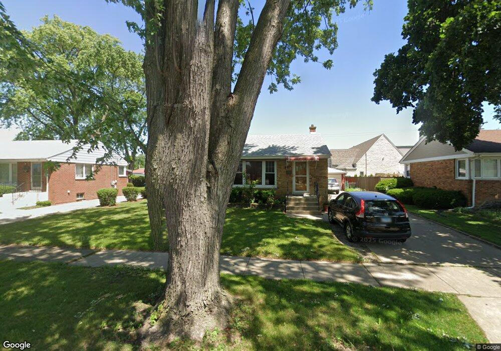
650 Van Buren Ave Des Plaines, IL 60018
Estimated Value: $349,169 - $401,000
3
Beds
1
Bath
999
Sq Ft
$370/Sq Ft
Est. Value
About This Home
This home is located at 650 Van Buren Ave, Des Plaines, IL 60018 and is currently estimated at $369,542, approximately $369 per square foot. 650 Van Buren Ave is a home located in Cook County with nearby schools including Forest Elementary School, Algonquin Middle School, and Maine West High School.
Ownership History
Date
Name
Owned For
Owner Type
Purchase Details
Closed on
May 31, 2005
Sold by
Mayville Marjorie J
Bought by
Patel Mukeshkumar C and Patel Lataben M
Current Estimated Value
Home Financials for this Owner
Home Financials are based on the most recent Mortgage that was taken out on this home.
Original Mortgage
$234,800
Outstanding Balance
$119,894
Interest Rate
5.82%
Mortgage Type
Fannie Mae Freddie Mac
Estimated Equity
$249,648
Create a Home Valuation Report for This Property
The Home Valuation Report is an in-depth analysis detailing your home's value as well as a comparison with similar homes in the area
Home Values in the Area
Average Home Value in this Area
Purchase History
| Date | Buyer | Sale Price | Title Company |
|---|---|---|---|
| Patel Mukeshkumar C | $293,500 | -- |
Source: Public Records
Mortgage History
| Date | Status | Borrower | Loan Amount |
|---|---|---|---|
| Open | Patel Mukeshkumar C | $234,800 |
Source: Public Records
Tax History
| Year | Tax Paid | Tax Assessment Tax Assessment Total Assessment is a certain percentage of the fair market value that is determined by local assessors to be the total taxable value of land and additions on the property. | Land | Improvement |
|---|---|---|---|---|
| 2025 | $6,245 | $31,000 | $6,696 | $24,304 |
| 2024 | $6,245 | $27,000 | $5,580 | $21,420 |
| 2023 | $6,067 | $27,000 | $5,580 | $21,420 |
| 2022 | $6,067 | $27,000 | $5,580 | $21,420 |
| 2021 | $5,576 | $21,469 | $4,650 | $16,819 |
| 2020 | $5,550 | $21,469 | $4,650 | $16,819 |
| 2019 | $5,569 | $24,123 | $4,650 | $19,473 |
| 2018 | $5,416 | $21,546 | $4,092 | $17,454 |
| 2017 | $5,338 | $21,546 | $4,092 | $17,454 |
| 2016 | $5,293 | $21,546 | $4,092 | $17,454 |
| 2015 | $4,769 | $18,397 | $3,534 | $14,863 |
| 2014 | $4,684 | $18,397 | $3,534 | $14,863 |
| 2013 | $4,550 | $18,397 | $3,534 | $14,863 |
Source: Public Records
Map
Nearby Homes
- 1205 S Wolf Rd
- 674 E Algonquin Rd
- 1122 Alfini Dr
- 505 Forest Ave
- 980 W Grant Dr
- 1394 Carol Ln
- 1458 Kingston Ct
- 664 E Oakton St
- 1596 Oxford Rd
- 815 E Oakton St Unit 311
- 1048 E Walnut Ave
- 1080 Bogart St
- 886 E Thacker St
- 652 E Prairie Ave
- 508 Crestwood Dr
- 887 Ingram Place
- 584 S 4th Ave
- 556 Orchard Ct
- 1107 E Prairie Ave
- 105 King Ln
- 640 Van Buren Ave
- 660 Van Buren Ave
- 630 Van Buren Ave
- 670 Van Buren Ave
- 665 Van Buren Ave
- 1268 S 6th Ave
- 620 Van Buren Ave
- 680 Van Buren Ave
- 1275 S 6th Ave
- 1276 S 6th Ave
- 610 Van Buren Ave
- 690 Van Buren Ave
- 685 Van Buren Ave
- 1285 S 6th Ave
- 1284 S 6th Ave
- 1276 S 5th Ave
- 1275 S Wolf Rd
- 1295 S 6th Ave
- 1294 S 6th Ave
- 1284 S 5th Ave
Your Personal Tour Guide
Ask me questions while you tour the home.