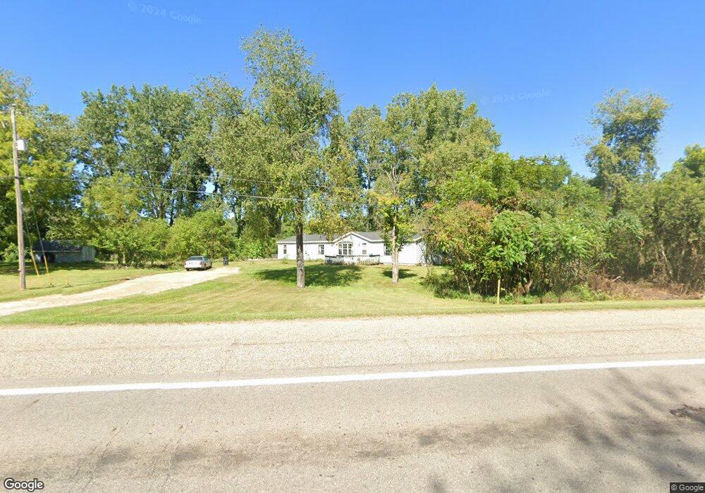
650 W Chicago Rd Bronson, MI 49028
Estimated Value: $188,000 - $270,000
3
Beds
3
Baths
2,128
Sq Ft
$108/Sq Ft
Est. Value
About This Home
This home is located at 650 W Chicago Rd, Bronson, MI 49028 and is currently estimated at $230,886, approximately $108 per square foot. 650 W Chicago Rd is a home located in Branch County with nearby schools including Anderson Elementary School, Ryan Elementary School, and Bronson Junior/Senior High School.
Ownership History
Date
Name
Owned For
Owner Type
Purchase Details
Closed on
Dec 31, 2008
Sold by
Ball Larry C and Ball Leasa Jo
Bought by
Sanders Bradley Jay and Sanders Tammy S
Current Estimated Value
Home Financials for this Owner
Home Financials are based on the most recent Mortgage that was taken out on this home.
Original Mortgage
$76,442
Outstanding Balance
$48,343
Interest Rate
5.19%
Mortgage Type
VA
Estimated Equity
$182,543
Purchase Details
Closed on
Jul 13, 1994
Create a Home Valuation Report for This Property
The Home Valuation Report is an in-depth analysis detailing your home's value as well as a comparison with similar homes in the area
Home Values in the Area
Average Home Value in this Area
Purchase History
| Date | Buyer | Sale Price | Title Company |
|---|---|---|---|
| Sanders Bradley Jay | $74,000 | None Available | |
| -- | $7,000 | -- |
Source: Public Records
Mortgage History
| Date | Status | Borrower | Loan Amount |
|---|---|---|---|
| Open | Sanders Bradley Jay | $76,442 |
Source: Public Records
Tax History Compared to Growth
Tax History
| Year | Tax Paid | Tax Assessment Tax Assessment Total Assessment is a certain percentage of the fair market value that is determined by local assessors to be the total taxable value of land and additions on the property. | Land | Improvement |
|---|---|---|---|---|
| 2025 | $920 | $37,500 | $0 | $0 |
| 2024 | $332 | $37,100 | $0 | $0 |
| 2023 | $332 | $35,000 | $0 | $0 |
| 2022 | $332 | $33,400 | $0 | $0 |
| 2021 | -- | $32,900 | $0 | $0 |
| 2020 | -- | $33,500 | $0 | $0 |
| 2019 | -- | $33,200 | $0 | $0 |
| 2018 | -- | $31,700 | $0 | $0 |
| 2017 | -- | $33,000 | $0 | $0 |
| 2016 | -- | $31,800 | $0 | $0 |
| 2015 | -- | $30,100 | $0 | $0 |
| 2014 | -- | $26,800 | $0 | $0 |
| 2013 | -- | $31,100 | $0 | $0 |
Source: Public Records
Map
Nearby Homes
- 695 W Chicago Rd
- 609 E Railroad St
- 325 N Lincoln St
- 544 E Chicago St
- 150 Washington St
- 147 Winona St
- 214 E Chicago St
- 313 N Matteson St
- 151 E Corey St
- 337 N Walker St
- 410 Franklin St
- 769 Kosmerick Rd
- 130 Osborn Rd
- 322 W Chicago Rd
- V/L Prairie River Rd
- 299 Bater Rd
- 786 W Colon Rd
- 912 W Colon Rd
- 1052 Carpenter Rd
- 204 W Hatmaker Rd
- 192 Stroh Dr
- 638 W Chicago Rd
- 640 W Chicago Rd
- 655 W Chicago Rd
- 661 W Chicago Rd
- 234 Dandy Dr
- 151 S Parham Rd
- 668 W Chicago Rd
- 678 W Central Rd
- 671 W Chicago Rd
- 670 W Central Rd
- 676 W Central Rd
- 668 W Central Rd
- 686 W Central Rd
- 688 W Central Rd
- 669 W Central Rd
- 165 S Parham Rd
- 665 W Central Rd
- 249 White Star Dr
- 698 W Central Rd