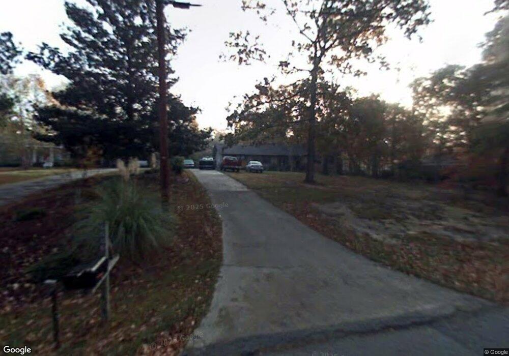
6500 Bevin Dr Macon, GA 31216
Estimated Value: $224,000 - $325,000
3
Beds
2
Baths
3,199
Sq Ft
$88/Sq Ft
Est. Value
About This Home
This home is located at 6500 Bevin Dr, Macon, GA 31216 and is currently estimated at $280,225, approximately $87 per square foot. 6500 Bevin Dr is a home located in Bibb County with nearby schools including Heard Elementary School, Rutland Middle School, and Rutland High School.
Ownership History
Date
Name
Owned For
Owner Type
Purchase Details
Closed on
Sep 8, 2022
Sold by
Randall James T
Bought by
Randall Lillie W and Butler Timothy K
Current Estimated Value
Home Financials for this Owner
Home Financials are based on the most recent Mortgage that was taken out on this home.
Original Mortgage
$157,712
Outstanding Balance
$150,213
Interest Rate
5.22%
Mortgage Type
New Conventional
Estimated Equity
$130,012
Purchase Details
Closed on
Jun 30, 2006
Sold by
Butler T Keith and Butler Cheryl R
Bought by
Randall James and Randall Lillie W
Home Financials for this Owner
Home Financials are based on the most recent Mortgage that was taken out on this home.
Original Mortgage
$29,000
Interest Rate
6.6%
Mortgage Type
Stand Alone Second
Create a Home Valuation Report for This Property
The Home Valuation Report is an in-depth analysis detailing your home's value as well as a comparison with similar homes in the area
Home Values in the Area
Average Home Value in this Area
Purchase History
| Date | Buyer | Sale Price | Title Company |
|---|---|---|---|
| Randall Lillie W | -- | -- | |
| Randall James | -- | None Avelable |
Source: Public Records
Mortgage History
| Date | Status | Borrower | Loan Amount |
|---|---|---|---|
| Open | Randall Lillie W | $157,712 | |
| Previous Owner | Randall James | $29,000 |
Source: Public Records
Tax History Compared to Growth
Tax History
| Year | Tax Paid | Tax Assessment Tax Assessment Total Assessment is a certain percentage of the fair market value that is determined by local assessors to be the total taxable value of land and additions on the property. | Land | Improvement |
|---|---|---|---|---|
| 2025 | $2,024 | $96,929 | $10,220 | $86,709 |
| 2024 | $2,094 | $96,929 | $10,220 | $86,709 |
| 2023 | $2,217 | $89,232 | $10,220 | $79,012 |
| 2022 | $2,891 | $97,401 | $6,590 | $90,811 |
| 2021 | $2,556 | $81,116 | $5,272 | $75,844 |
| 2020 | $2,112 | $68,264 | $4,393 | $63,871 |
| 2019 | $2,129 | $68,264 | $4,393 | $63,871 |
| 2018 | $3,439 | $68,264 | $4,393 | $63,871 |
| 2017 | $1,475 | $53,543 | $3,912 | $49,631 |
| 2016 | $1,352 | $53,543 | $3,912 | $49,631 |
| 2015 | $1,919 | $53,543 | $3,912 | $49,631 |
| 2014 | $1,406 | $43,064 | $3,912 | $39,152 |
Source: Public Records
Map
Nearby Homes
- 6530 Bevin Dr
- 0 Ponderosa Dr
- 3150 Holleman Dr
- 0 Houston Rd Unit 10572705
- 116 Wynens Way
- 261 Amanda Dr
- 00 Houston Rd
- 112 Alan Ct Unit 159
- 4037 Liberty Estates Dr
- 4025 Liberty Estates Dr
- 268 Amanda Dr
- 6045 Cara Dr
- 708 Coopers Lnd
- 405 Stonecrest Ct
- 215 Stonefield Cir
- DUPONT Plan at Quail Ridge
- GARDNER Plan at Quail Ridge
- KINGSTON Plan at Quail Ridge
- 6458 Bevin Dr
- 6560 Bevin Dr
- 6570 Bevin Dr
- 6446 Bevin Dr
- 6433 Ponderosa Dr
- 6578 Bevin Dr
- 6425 Ponderosa Dr
- 6449 Ponderosa Dr
- 6467 Bevins Dr
- 6473 Bevin Dr
- 6537 Bevin Dr
- 6527 Bevin Dr
- 6547 Bevin Dr
- 6515 Bevin Dr
- 6471 Ponderosa Dr
- 6588 Bevin Dr
- 6573 Bevin Dr
- 6573 Bevin Dr
- 6433 Bevin Dr
- 6415 Ponderosa Dr