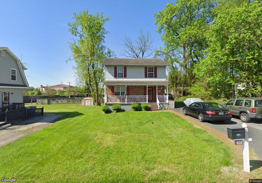
6500 Parsons Ave Baltimore, MD 21215
Reisterstown Station NeighborhoodEstimated Value: $289,933 - $444,000
Studio
3
Baths
1,344
Sq Ft
$273/Sq Ft
Est. Value
About This Home
This home is located at 6500 Parsons Ave, Baltimore, MD 21215 and is currently estimated at $366,967, approximately $273 per square foot. 6500 Parsons Ave is a home located in Baltimore City with nearby schools including Calvin M. Rodwell Elementary School, Booker T. Washington Middle School, and Forest Park High School.
Ownership History
Date
Name
Owned For
Owner Type
Purchase Details
Closed on
Jan 30, 2006
Sold by
Chase Manhattan Mortgage
Bought by
Patterson Carolyn
Current Estimated Value
Home Financials for this Owner
Home Financials are based on the most recent Mortgage that was taken out on this home.
Original Mortgage
$24,941
Outstanding Balance
$867
Interest Rate
5.81%
Mortgage Type
Purchase Money Mortgage
Estimated Equity
$366,100
Purchase Details
Closed on
Apr 24, 1997
Sold by
Watkins Walter
Bought by
Patterson Dwayne and Norton Sandra
Create a Home Valuation Report for This Property
The Home Valuation Report is an in-depth analysis detailing your home's value as well as a comparison with similar homes in the area
Home Values in the Area
Average Home Value in this Area
Purchase History
| Date | Buyer | Sale Price | Title Company |
|---|---|---|---|
| Patterson Carolyn | $124,707 | -- | |
| Chase Manhattan Mortgage | $118,400 | -- | |
| Patterson Dwayne | $111,430 | -- |
Source: Public Records
Mortgage History
| Date | Status | Borrower | Loan Amount |
|---|---|---|---|
| Open | Patterson Carolyn | $24,941 |
Source: Public Records
Tax History
| Year | Tax Paid | Tax Assessment Tax Assessment Total Assessment is a certain percentage of the fair market value that is determined by local assessors to be the total taxable value of land and additions on the property. | Land | Improvement |
|---|---|---|---|---|
| 2025 | $3,807 | $189,500 | -- | -- |
| 2024 | $3,807 | $178,000 | $33,500 | $144,500 |
| 2023 | $3,795 | $177,967 | $0 | $0 |
| 2022 | $3,799 | $177,933 | $0 | $0 |
| 2021 | $4,198 | $177,900 | $33,500 | $144,400 |
| 2020 | $3,790 | $177,900 | $33,500 | $144,400 |
| 2019 | $3,727 | $177,900 | $33,500 | $144,400 |
| 2018 | $2,432 | $182,100 | $33,500 | $148,600 |
| 2017 | $2,354 | $171,533 | $0 | $0 |
| 2016 | $3,334 | $160,967 | $0 | $0 |
| 2015 | $3,334 | $150,400 | $0 | $0 |
| 2014 | $3,334 | $150,400 | $0 | $0 |
Source: Public Records
Map
Nearby Homes
- 6603 Fairmount Ave
- 6518 Mount Vernon Ave
- 6613 Fairmount Ave
- 6705 Fairmount Ave
- 6715 Alter St
- 3911 Southern Cross Dr
- 3814 Lochearn Dr
- 6822 Huntington Dr
- 3823 Byfield Rd
- 3735 Sylvan Dr
- 3655 Forest Garden Ave
- 3724 Oak Ave
- 6955 Blanche Rd
- 4002 Clarks Ln
- 7107 Walnut Ave
- 5644 Belle Ave
- 5561 Kennison Ave
- 5564 Elderon Ave
- 6804 Carol Rd
- 3720 Bartwood Rd
- 6502 Parsons Ave
- 4700 Patterson Ave
- 6504 Parsons Ave
- 6501 Fairmount Ave
- 6501 Fairmount Ave
- 6506 Parsons Ave
- Parsons Ave
- 6503 Fairmount Ave
- 6501 Parsons Ave
- 6505 Parsons Ave
- 6505 Fairmount Ave
- 6508 Parsons Ave
- 6507 Parsons Ave
- 6507 Fairmount Ave
- 6500 Fairmount Ave
- 6511 Parsons Ave
- 6509 Fairmount Ave
- 0 Fairmount Ave Unit MDBC2016428
- 4610 Patterson Ave
- 6502 Fairmount Ave
Your Personal Tour Guide
Ask me questions while you tour the home.