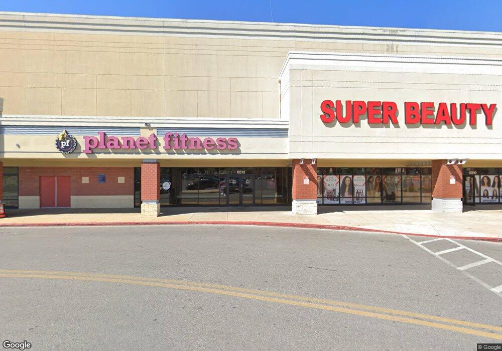
6500 Reisterstown Rd Baltimore, MD 21215
Reisterstown Station Neighborhood
--
Bed
--
Bath
178,756
Sq Ft
2.53
Acres
About This Home
This home is located at 6500 Reisterstown Rd, Baltimore, MD 21215. 6500 Reisterstown Rd is a home located in Baltimore City with nearby schools including Calvin M. Rodwell Elementary School, Booker T. Washington Middle School, and Forest Park High School.
Ownership History
Date
Name
Owned For
Owner Type
Purchase Details
Closed on
Sep 5, 2023
Sold by
Reisterstown Plaza Associates Llc
Bought by
Trc Rrp Ii Llc
Home Financials for this Owner
Home Financials are based on the most recent Mortgage that was taken out on this home.
Original Mortgage
$12,035,000
Interest Rate
7.49%
Mortgage Type
New Conventional
Create a Home Valuation Report for This Property
The Home Valuation Report is an in-depth analysis detailing your home's value as well as a comparison with similar homes in the area
Home Values in the Area
Average Home Value in this Area
Purchase History
| Date | Buyer | Sale Price | Title Company |
|---|---|---|---|
| Trc Rrp Ii Llc | $160,480 | None Listed On Document | |
| Trc Rrp Ii Llc | $160,480 | None Listed On Document |
Source: Public Records
Mortgage History
| Date | Status | Borrower | Loan Amount |
|---|---|---|---|
| Previous Owner | Trc Rrp Ii Llc | $12,035,000 |
Source: Public Records
Tax History Compared to Growth
Tax History
| Year | Tax Paid | Tax Assessment Tax Assessment Total Assessment is a certain percentage of the fair market value that is determined by local assessors to be the total taxable value of land and additions on the property. | Land | Improvement |
|---|---|---|---|---|
| 2025 | $308,101 | $10,822,300 | $601,100 | $10,221,200 |
| 2024 | $308,101 | $13,117,600 | $601,100 | $12,516,500 |
| 2023 | $303,500 | $12,921,700 | $0 | $0 |
| 2022 | $300,329 | $12,725,800 | $0 | $0 |
| 2021 | $303,826 | $12,874,000 | $379,600 | $12,494,400 |
| 2020 | $283,073 | $11,994,600 | $0 | $0 |
| 2019 | $261,069 | $11,115,200 | $0 | $0 |
| 2018 | $241,565 | $10,235,800 | $379,600 | $9,856,200 |
| 2017 | $237,740 | $10,073,733 | $0 | $0 |
| 2016 | $218,532 | $9,911,667 | $0 | $0 |
| 2015 | $218,532 | $9,749,600 | $0 | $0 |
| 2014 | $218,532 | $9,685,100 | $0 | $0 |
Source: Public Records
Map
Nearby Homes
- 4108 Fords Ln
- 3720 Bartwood Rd
- 6509 Parr Ave
- 3737 Clarks Ln
- 3601 Clarks Ln Unit 424
- 3601 Clarks Ln Unit 506
- 3601 Clarks Ln
- 3601 Clarks Ln
- 3601 Clarks Ln
- 3601 Clarks Ln
- 6606 Park Heights Ave Unit 305
- 6606 Park Heights Ave Unit 905
- 6606 Park Heights Ave Unit 615
- 6203 Hopeton Ave
- 6603 Fairmount Ave
- 6705 Fairmount Ave
- 6711 Park Heights Ave Unit 115
- 6711 Park Heights Ave Unit L9
- 6317 Park Heights Ave Unit T9
- 6317 Park Heights Ave Unit 404