6501 Randy Rd La Pine, OR 97739
Estimated Value: $394,000
2
Beds
2
Baths
952
Sq Ft
$414/Sq Ft
Est. Value
About This Home
This home is located at 6501 Randy Rd, La Pine, OR 97739 and is currently estimated at $394,000, approximately $413 per square foot. 6501 Randy Rd is a home with nearby schools including Gilchrist Elementary School and Gilchrist Junior/Senior High School.
Ownership History
Date
Name
Owned For
Owner Type
Purchase Details
Closed on
Sep 3, 2015
Sold by
Danda Winford James and Danda Winford
Bought by
Sturges Carl L and Sturges Charlotte M
Current Estimated Value
Home Financials for this Owner
Home Financials are based on the most recent Mortgage that was taken out on this home.
Original Mortgage
$65,000
Outstanding Balance
$50,877
Interest Rate
3.97%
Mortgage Type
Seller Take Back
Estimated Equity
$343,123
Purchase Details
Closed on
Jan 18, 2007
Sold by
Link Leslie and Link Lisa
Bought by
Danda Winford James and Danda Winford
Create a Home Valuation Report for This Property
The Home Valuation Report is an in-depth analysis detailing your home's value as well as a comparison with similar homes in the area
Purchase History
| Date | Buyer | Sale Price | Title Company |
|---|---|---|---|
| Sturges Carl L | $65,000 | Amerititle | |
| Danda Winford James | $55,942 | Mtc |
Source: Public Records
Mortgage History
| Date | Status | Borrower | Loan Amount |
|---|---|---|---|
| Open | Sturges Carl L | $65,000 |
Source: Public Records
Tax History
| Year | Tax Paid | Tax Assessment Tax Assessment Total Assessment is a certain percentage of the fair market value that is determined by local assessors to be the total taxable value of land and additions on the property. | Land | Improvement |
|---|---|---|---|---|
| 2025 | $2,109 | $181,410 | -- | -- |
| 2024 | $2,043 | $176,130 | -- | -- |
| 2023 | $1,967 | $176,130 | $0 | $0 |
| 2022 | $1,868 | $166,020 | $0 | $0 |
| 2021 | $2,177 | $189,550 | $0 | $0 |
| 2020 | $1,109 | $93,810 | $0 | $0 |
| 2019 | $1,083 | $91,080 | $0 | $0 |
| 2018 | $1,054 | $88,430 | $0 | $0 |
| 2017 | $1,029 | $85,860 | $0 | $0 |
| 2016 | $798 | $65,120 | $0 | $0 |
| 2015 | $778 | $63,230 | $0 | $0 |
| 2014 | $743 | $61,310 | $0 | $0 |
| 2013 | -- | $61,360 | $0 | $0 |
Source: Public Records
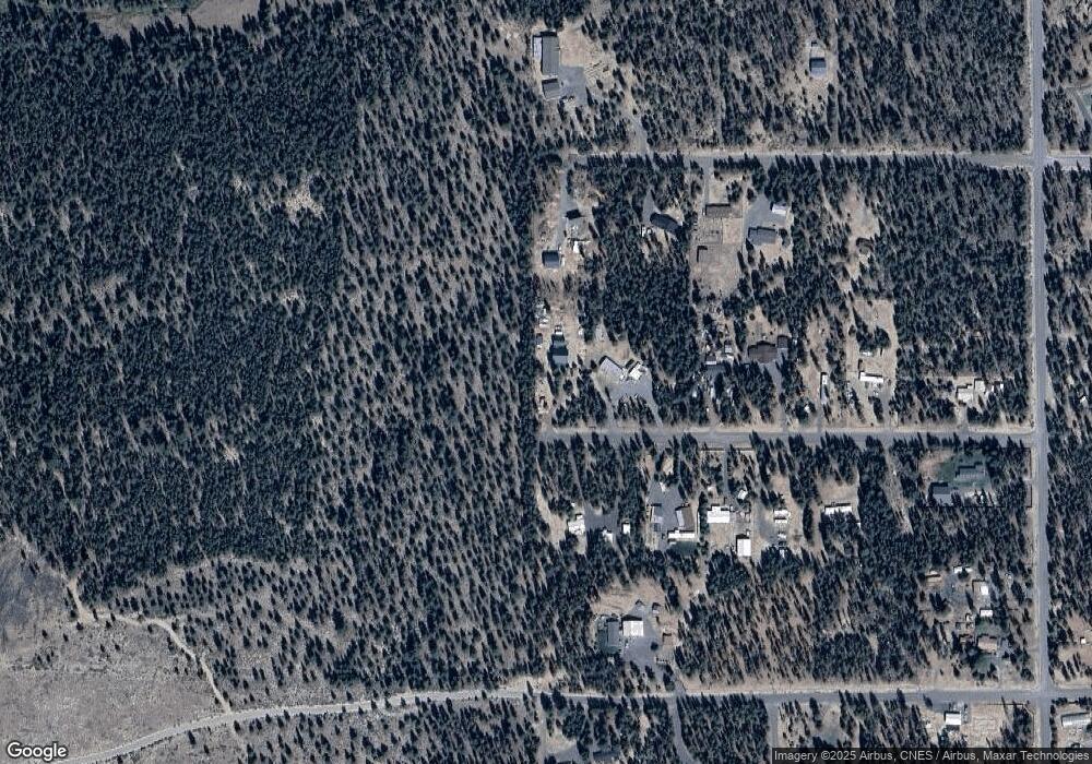
Map
Nearby Homes
- 150385 Jerry Rd
- 7240 Howard Rd
- 149471 Midstate Rd
- 149245 Kurtz Rd
- 156468 Beal Rd
- 1225 Hackett Dr
- 1325 Cheryl Dr
- 1451 Fred Mahn Dr
- 1406 Circle Bar Dr
- 1 Gracies Rd
- 0 Tl 09300 Buggy Whip Ct Unit 10 220194293
- 1287 Fort Jack Pine Dr
- 147853 Mabel Dr
- 0 Tl 09700 Buggy Whip Ct Unit 6 220194296
- 147904 Mabel Dr
- 0 Tl 09900 Scabbard Ct Unit 4 220194298
- 0 Tl 10300 Concho Ct Unit 5 220194299
- 0 Tl 09800 Scabbard Ct Unit 5 220194297
- 152113 Silver Spur Rd
- 0 Tl 10600 Concho Ct Unit 2 220194291
Your Personal Tour Guide
Ask me questions while you tour the home.