6501 Widmer Ln Westpoint, IN 47992
Estimated Value: $410,926 - $448,000
Studio
1
Bath
2,242
Sq Ft
$191/Sq Ft
Est. Value
About This Home
This home is located at 6501 Widmer Ln, Westpoint, IN 47992 and is currently estimated at $428,975, approximately $191 per square foot. 6501 Widmer Ln is a home located in Tippecanoe County with nearby schools including Mintonye Elementary School, Southwestern Middle School, and McCutcheon High School.
Ownership History
Date
Name
Owned For
Owner Type
Purchase Details
Closed on
Nov 14, 2018
Sold by
Ward Jeffrey A
Bought by
Ward Jeffrey A
Current Estimated Value
Purchase Details
Closed on
Jun 25, 2003
Sold by
Henady David R and Henady Patricia Y
Bought by
Ward Jeffrey A and Burns Melanie S
Home Financials for this Owner
Home Financials are based on the most recent Mortgage that was taken out on this home.
Original Mortgage
$180,000
Outstanding Balance
$76,671
Interest Rate
5.4%
Mortgage Type
Purchase Money Mortgage
Estimated Equity
$352,304
Create a Home Valuation Report for This Property
The Home Valuation Report is an in-depth analysis detailing your home's value as well as a comparison with similar homes in the area
Purchase History
| Date | Buyer | Sale Price | Title Company |
|---|---|---|---|
| Ward Jeffrey A | -- | None Available | |
| Ward Jeffrey A | -- | -- |
Source: Public Records
Mortgage History
| Date | Status | Borrower | Loan Amount |
|---|---|---|---|
| Open | Ward Jeffrey A | $180,000 |
Source: Public Records
Tax History
| Year | Tax Paid | Tax Assessment Tax Assessment Total Assessment is a certain percentage of the fair market value that is determined by local assessors to be the total taxable value of land and additions on the property. | Land | Improvement |
|---|---|---|---|---|
| 2024 | $2,156 | $310,600 | $30,500 | $280,100 |
| 2023 | $2,005 | $289,100 | $30,500 | $258,600 |
| 2022 | $2,004 | $266,300 | $30,500 | $235,800 |
| 2021 | $1,668 | $226,800 | $30,500 | $196,300 |
| 2020 | $1,476 | $211,100 | $30,500 | $180,600 |
| 2019 | $1,376 | $201,900 | $30,500 | $171,400 |
| 2018 | $1,306 | $196,600 | $30,500 | $166,100 |
| 2017 | $1,293 | $197,300 | $30,500 | $166,800 |
| 2016 | $1,262 | $192,100 | $30,500 | $161,600 |
| 2014 | $1,152 | $179,200 | $30,500 | $148,700 |
| 2013 | $1,039 | $159,800 | $30,500 | $129,300 |
Source: Public Records
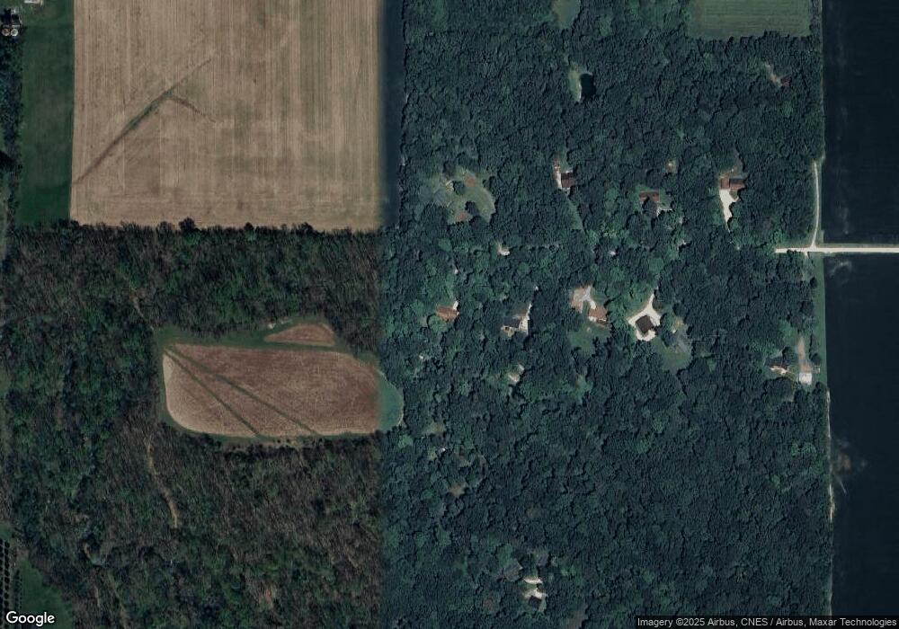
Map
Nearby Homes
- 6243 S 700 W
- 6943 Main St
- 5012 Washington St
- 4400 Silver Shale Ln
- 4400 Silver Shale Ln
- 4511 Indiana 25
- 9227 S 900 W
- 4510 Indiana 25
- 7909 W 1100 S
- 3138 Henry St
- 4545 S 175 W
- 7596 Homestead Trail
- 809 Ravenstone Dr
- 4254-4268 Admirals Cove Dr
- 6791 Zachary Ct E
- 0 W 500 S
- 880 Drydock Dr
- 857 Ravenstone Dr
- 825 Ravenstone Dr
- 852 Drydock Dr
Your Personal Tour Guide
Ask me questions while you tour the home.