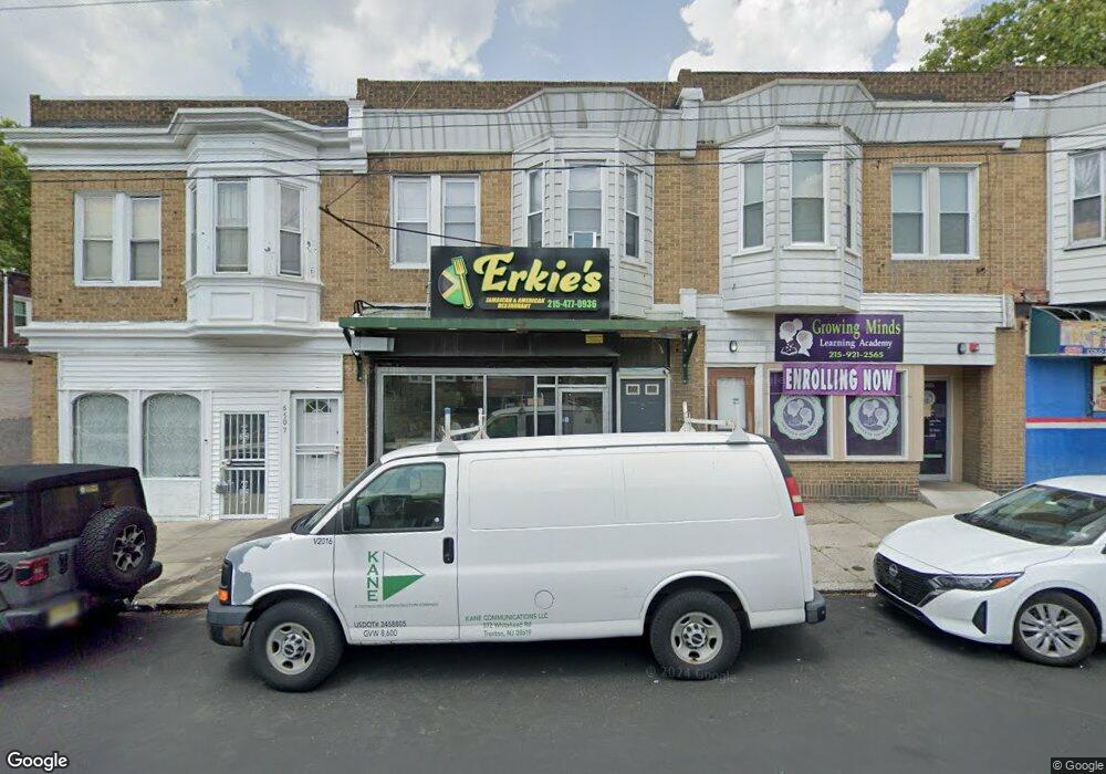
6503 Lansdowne Ave Philadelphia, PA 19151
Overbrook Neighborhood
--
Bed
--
Bath
1,568
Sq Ft
1,742
Sq Ft Lot
About This Home
This home is located at 6503 Lansdowne Ave, Philadelphia, PA 19151. 6503 Lansdowne Ave is a home located in Philadelphia County with nearby schools including Overbrook High School and KIPP West Philadelphia Preparatory Chart.
Ownership History
Date
Name
Owned For
Owner Type
Purchase Details
Closed on
Jan 3, 2020
Sold by
Lsf9 Master Particiation Trust
Bought by
Hartsfield Holding Llc
Home Financials for this Owner
Home Financials are based on the most recent Mortgage that was taken out on this home.
Original Mortgage
$150,000
Outstanding Balance
$132,862
Interest Rate
3.73%
Mortgage Type
Purchase Money Mortgage
Purchase Details
Closed on
May 17, 2018
Sold by
Rothschild John D
Bought by
Lsf9 Master Participation Trust
Purchase Details
Closed on
Mar 23, 1989
Bought by
Rothschild John
Create a Home Valuation Report for This Property
The Home Valuation Report is an in-depth analysis detailing your home's value as well as a comparison with similar homes in the area
Home Values in the Area
Average Home Value in this Area
Purchase History
| Date | Buyer | Sale Price | Title Company |
|---|---|---|---|
| Hartsfield Holding Llc | $70,000 | None Available | |
| Lsf9 Master Participation Trust | -- | None Available | |
| Rothschild John | $42,000 | -- |
Source: Public Records
Mortgage History
| Date | Status | Borrower | Loan Amount |
|---|---|---|---|
| Open | Hartsfield Holding Llc | $150,000 |
Source: Public Records
Tax History Compared to Growth
Tax History
| Year | Tax Paid | Tax Assessment Tax Assessment Total Assessment is a certain percentage of the fair market value that is determined by local assessors to be the total taxable value of land and additions on the property. | Land | Improvement |
|---|---|---|---|---|
| 2025 | $1,207 | $140,600 | $28,120 | $112,480 |
| 2024 | $1,207 | $140,600 | $28,120 | $112,480 |
| 2023 | $1,207 | $86,200 | $17,200 | $69,000 |
| 2022 | $984 | $86,200 | $17,200 | $69,000 |
| 2021 | $984 | $0 | $0 | $0 |
| 2020 | $984 | $0 | $0 | $0 |
| 2019 | $976 | $0 | $0 | $0 |
| 2018 | $948 | $0 | $0 | $0 |
| 2017 | $1,975 | $0 | $0 | $0 |
| 2016 | $1,975 | $0 | $0 | $0 |
| 2015 | $1,891 | $0 | $0 | $0 |
| 2014 | -- | $141,100 | $17,500 | $123,600 |
| 2012 | -- | $25,984 | $3,892 | $22,092 |
Source: Public Records
Map
Nearby Homes
- 6452 Lansdowne Ave
- 653 Atwood Rd
- 925 Marlyn Rd
- 716 N 64th St
- 703 N 66th St
- 6528 Lebanon Ave
- 657 N 66th St
- 6639 Leeds St
- 853 Wynnewood Rd
- 706 Edgemore Rd
- 924 N 66th St
- 717 N 67th St
- 6500 Haverford Ave
- 947 N 66th St
- 704 N 63rd St
- 635 N 67th St
- 6015 Haverford Ave
- 621 N 67th St
- 1616 N Felton St
- 6647 Haverford Ave
- 6505 Lansdowne Ave
- 810 N 65th St Unit 1
- 812 N 65th St
- 805 Atwood Rd
- 803 Atwood Rd
- 814 N 65th St
- 807 Atwood Rd
- 801 Atwood Rd
- 809 Atwood Rd
- 811 Atwood Rd
- 816 N 65th St
- 813 Atwood Rd
- 815 Atwood Rd
- 818 N 65th St
- 6508 Lansdowne Ave
- 6506 Lansdowne Ave
- 6502 Lansdowne Ave
- 6504 Lansdowne Ave
- 817 Atwood Rd
- 6512 Lansdowne Ave