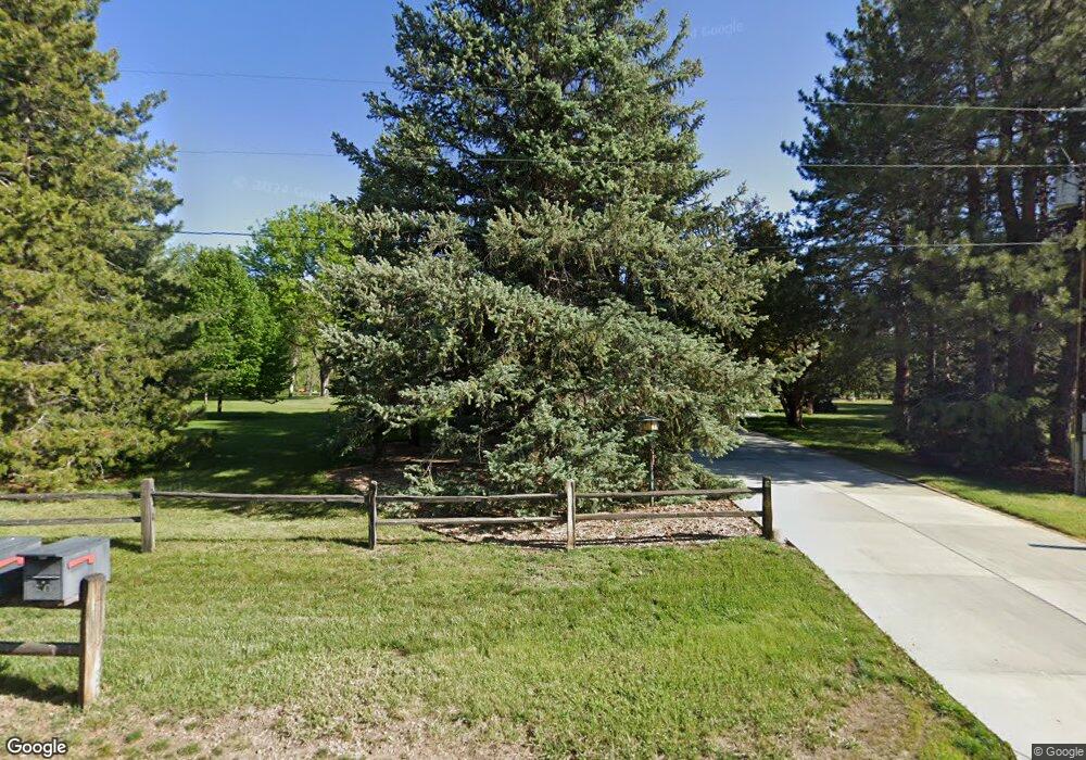
6507 Robin Dr Longmont, CO 80503
Estimated Value: $1,200,775 - $1,621,000
3
Beds
2
Baths
2,000
Sq Ft
$718/Sq Ft
Est. Value
About This Home
This home is located at 6507 Robin Dr, Longmont, CO 80503 and is currently estimated at $1,435,694, approximately $717 per square foot. 6507 Robin Dr is a home located in Boulder County with nearby schools including Blue Mountain Elementary School, Altona Middle School, and Silver Creek High School.
Ownership History
Date
Name
Owned For
Owner Type
Purchase Details
Closed on
Nov 10, 1992
Bought by
Korthase Jerome E and Korthase Bernadine M
Current Estimated Value
Purchase Details
Closed on
Apr 30, 1987
Bought by
Korthase Jerome E and Korthase Bernadine M
Purchase Details
Closed on
Jul 26, 1983
Bought by
Korthase Jerome E and Korthase Bernadine M
Purchase Details
Closed on
Oct 9, 1974
Bought by
Korthase Jerome E and Korthase Bernadine M
Create a Home Valuation Report for This Property
The Home Valuation Report is an in-depth analysis detailing your home's value as well as a comparison with similar homes in the area
Home Values in the Area
Average Home Value in this Area
Purchase History
| Date | Buyer | Sale Price | Title Company |
|---|---|---|---|
| Korthase Jerome E | $256,000 | -- | |
| Korthase Jerome E | $124,500 | -- | |
| Korthase Jerome E | $156,000 | -- | |
| Korthase Jerome E | $59,500 | -- |
Source: Public Records
Tax History Compared to Growth
Tax History
| Year | Tax Paid | Tax Assessment Tax Assessment Total Assessment is a certain percentage of the fair market value that is determined by local assessors to be the total taxable value of land and additions on the property. | Land | Improvement |
|---|---|---|---|---|
| 2025 | $7,237 | $64,156 | $34,406 | $29,750 |
| 2024 | $7,237 | $64,156 | $34,406 | $29,750 |
| 2023 | $7,142 | $79,851 | $29,366 | $54,170 |
| 2022 | $4,761 | $53,404 | $23,804 | $29,600 |
| 2021 | $5,541 | $54,941 | $24,489 | $30,452 |
| 2020 | $5,175 | $51,437 | $24,596 | $26,841 |
| 2019 | $5,093 | $51,437 | $24,596 | $26,841 |
| 2018 | $4,422 | $44,906 | $20,088 | $24,818 |
| 2017 | $4,162 | $49,646 | $22,208 | $27,438 |
| 2016 | $3,249 | $30,152 | $15,920 | $14,232 |
| 2015 | $2,727 | $25,456 | $12,418 | $13,038 |
| 2014 | $3,535 | $32,636 | $15,920 | $16,716 |
Source: Public Records
Map
Nearby Homes
- 6789 Niwot Rd
- 5939 Niwot Rd
- 5952 Oxford Rd
- 3625 Nimbus Rd
- 7464 Whirlaway Ln
- 6957 Peppertree Dr
- 8418 Stirrup Ln
- 5196 Oxford Rd
- 7484 N 49th St
- 6231 Prospect Rd
- 7970 James Ct
- 8009 James Ct
- 8586 N 55th St
- 8050 Niwot Rd Unit 1
- 8050 Niwot Rd Unit 28
- 8050 Niwot Rd Unit 40
- 8076 Meadowdale Square
- 8060 Niwot Rd Unit 34
- 6423 Monarch Park Ct
- 8180 Dry Creek Cir
- 6481 Robin Dr
- 6539 Robin Dr
- 6500 Robin Dr
- 6455 Robin Dr
- 6536 Robin Dr
- 6420 Modena Ln
- 6472 Robin Dr
- 7386 Cardinal Ln
- 7354 Cardinal Ln
- 6523 Bluebird Ave
- 6438 Robin Dr
- 6421 Robin Dr
- 6491 Bluebird Ave
- 6555 Bluebird Ave
- 6400 Modena Ln
- 7281 Cardinal Ln
- 6463 Bluebird Ave
- 7284 Cardinal Ln
- 6510 Bluebird Ave
- 6437 Bluebird Ave