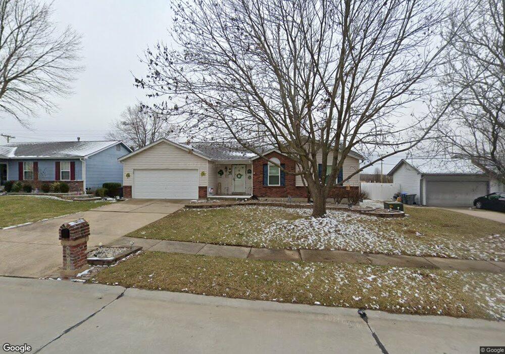
6508 Long Timber Dr O Fallon, MO 63368
Estimated Value: $278,000 - $307,000
3
Beds
2
Baths
1,148
Sq Ft
$261/Sq Ft
Est. Value
About This Home
This home is located at 6508 Long Timber Dr, O Fallon, MO 63368 and is currently estimated at $299,139, approximately $260 per square foot. 6508 Long Timber Dr is a home located in St. Charles County with nearby schools including Pheasant Point Elementary School, Fort Zumwalt South Middle School, and Fort Zumwalt South High School.
Ownership History
Date
Name
Owned For
Owner Type
Purchase Details
Closed on
Mar 3, 2003
Sold by
Ptocnjak Thomas J and Potocnjak Anne
Bought by
Francisco John and Francisco Melanie
Current Estimated Value
Home Financials for this Owner
Home Financials are based on the most recent Mortgage that was taken out on this home.
Original Mortgage
$135,925
Outstanding Balance
$58,221
Interest Rate
5.83%
Mortgage Type
FHA
Estimated Equity
$240,918
Purchase Details
Closed on
Jun 23, 1998
Sold by
Wolfram Michael Lisa C
Bought by
Potocnjak Thomas J
Home Financials for this Owner
Home Financials are based on the most recent Mortgage that was taken out on this home.
Original Mortgage
$95,850
Interest Rate
7.13%
Create a Home Valuation Report for This Property
The Home Valuation Report is an in-depth analysis detailing your home's value as well as a comparison with similar homes in the area
Home Values in the Area
Average Home Value in this Area
Purchase History
| Date | Buyer | Sale Price | Title Company |
|---|---|---|---|
| Francisco John | $137,000 | -- | |
| Potocnjak Thomas J | -- | -- |
Source: Public Records
Mortgage History
| Date | Status | Borrower | Loan Amount |
|---|---|---|---|
| Open | Francisco John | $135,925 | |
| Previous Owner | Potocnjak Thomas J | $95,850 |
Source: Public Records
Tax History
| Year | Tax Paid | Tax Assessment Tax Assessment Total Assessment is a certain percentage of the fair market value that is determined by local assessors to be the total taxable value of land and additions on the property. | Land | Improvement |
|---|---|---|---|---|
| 2025 | $2,882 | $48,119 | -- | -- |
| 2023 | $2,885 | $43,608 | $0 | $0 |
| 2022 | $2,380 | $33,465 | $0 | $0 |
| 2021 | $2,386 | $33,465 | $0 | $0 |
| 2020 | $2,310 | $31,211 | $0 | $0 |
| 2019 | $2,315 | $31,211 | $0 | $0 |
| 2018 | $2,301 | $29,685 | $0 | $0 |
| 2017 | $2,260 | $29,685 | $0 | $0 |
| 2016 | $1,947 | $24,546 | $0 | $0 |
| 2015 | $1,815 | $24,546 | $0 | $0 |
| 2014 | $1,950 | $26,027 | $0 | $0 |
Source: Public Records
Map
Nearby Homes
- 178 Christina Marie Dr
- 26 Dalton Valley Dr
- 249 Dardenne Farms Dr
- 67 Simeon Ct
- 661 Clifton Hill Dr
- 219 Braddock Way
- 3 Royallbend Ct
- 2726 Brook Meadow Ln
- 2136 Farnsworth Dr Unit D
- 1319 Commons Cir
- 93 Arapahoe Basin Ct
- 1313 Commons Cir
- 367 Shamrock St
- 361 Shamrock St
- 9007 Camino Trail
- 2628 Breckenridge Cir
- 6025 Mo-N Unit # 1
- 8019 Cotswald Trail
- 8032 Cotswald Trail
- 6024 Mo-N Unit #2
- 6504 Long Timber Dr
- 6512 Long Timber Dr
- 6500 Long Timber Dr
- 6509 Long Timber Dr
- 6505 Long Timber Dr
- 6516 Long Timber Dr
- 6513 Long Timber Dr
- 6520 Long Timber Dr
- 6501 Long Timber Dr
- 6517 Long Timber Dr
- 6510 Star Buck Dr
- 6506 Star Buck Dr
- 3026 Long Wheat Dr
- 6514 Star Buck Dr
- 3017 Long Wheat Dr
- 6518 Star Buck Dr
- 3022 Long Wheat Dr
- 6436 Long Timber Dr
- 6442 Star Buck Dr
- 6437 Long Timber Dr
Your Personal Tour Guide
Ask me questions while you tour the home.