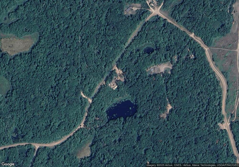
6509 280th St Randall, MN 56475
Estimated Value: $52,000 - $118,000
Studio
--
Bath
--
Sq Ft
1.68
Acres
About This Home
This home is located at 6509 280th St, Randall, MN 56475 and is currently estimated at $87,594. 6509 280th St is a home located in Morrison County with nearby schools including Little Falls Senior High School.
Ownership History
Date
Name
Owned For
Owner Type
Purchase Details
Closed on
Jul 1, 2022
Sold by
Bo Nelson
Bought by
Nelson Kyle
Current Estimated Value
Purchase Details
Closed on
Jul 19, 2018
Sold by
Kjd Properties Llc
Bought by
Nelson Bo and Nelson Kyle
Home Financials for this Owner
Home Financials are based on the most recent Mortgage that was taken out on this home.
Original Mortgage
$17,500
Interest Rate
4.5%
Mortgage Type
New Conventional
Purchase Details
Closed on
Dec 17, 2015
Sold by
Timm Micheal Micheal
Create a Home Valuation Report for This Property
The Home Valuation Report is an in-depth analysis detailing your home's value as well as a comparison with similar homes in the area
Purchase History
| Date | Buyer | Sale Price | Title Company |
|---|---|---|---|
| Nelson Kyle | $500 | None Listed On Document | |
| Nelson Bo | $25,000 | Larson Abstract Co Inc | |
| -- | $10,000 | -- |
Source: Public Records
Mortgage History
| Date | Status | Borrower | Loan Amount |
|---|---|---|---|
| Previous Owner | Nelson Bo | $17,500 |
Source: Public Records
Tax History Compared to Growth
Tax History
| Year | Tax Paid | Tax Assessment Tax Assessment Total Assessment is a certain percentage of the fair market value that is determined by local assessors to be the total taxable value of land and additions on the property. | Land | Improvement |
|---|---|---|---|---|
| 2025 | $88 | $16,400 | $16,200 | $200 |
| 2024 | $74 | $12,700 | $12,500 | $200 |
| 2023 | $70 | $10,500 | $10,300 | $200 |
| 2022 | $54 | $6,800 | $6,600 | $200 |
| 2021 | $56 | $6,000 | $5,800 | $200 |
| 2020 | $58 | $18,000 | $17,400 | $600 |
| 2019 | $60 | $6,000 | $5,800 | $200 |
| 2018 | $62 | $6,000 | $5,800 | $200 |
| 2017 | $66 | $6,000 | $5,800 | $200 |
| 2016 | $62 | $0 | $0 | $0 |
| 2014 | $60 | $0 | $0 | $0 |
| 2013 | $60 | $0 | $0 | $0 |
Source: Public Records
Map
Nearby Homes
- XXX Lake Camile Dr
- TBD Golf Course Cir
- TBDxxxx Golf Course Dr
- TBDxx Golf Course Dr
- TBDx Golf Course Dr
- TBDxxx Golf Course Dr
- 0 Flinstone Dr
- TBD Flintstone Dr
- XXX Norway Trail
- xxx W Lake Camile Dr Topaz Trail
- xxx Cardinal Trail
- 7302 Lake Camile Dr
- XXX Lake Camille Dr
- TBDxx Lake Camile Dr
- TBD Powderhorn Dr
- XXX Mallard Dr
- xxx Lake Camile Lost Lake
- 27331 Honey Hill Rd
- xxx Cedar Rd Marble Dr
- TBDx Lake Camile
- XXX Golf Course Cir
- XXX 280th St
- TBD Lake Camille Dr
- zzz Moonstone Dr
- yyy Moonstone Dr
- www Moonstone Dr
- 27933 Moonstone Dr
- 6634 280th St
- 29019 Golf Course Cir
- TBDxxxx Golf Course Cir
- TBDxxx Golf Course Cir
- TBDxx Golf Course Cir
- TBDx Golf Course Cir
- 0 Lk Camile Dr & Golf Unit 3992270
- 0 Lk Camile Dr & Golf Unit 3992270
- TBD Opal Ln
- TBD Opal Ln
- 6569 Lake Camile Dr
- 28309 Shangri la Pass
- TBD Birch Curve Rd
