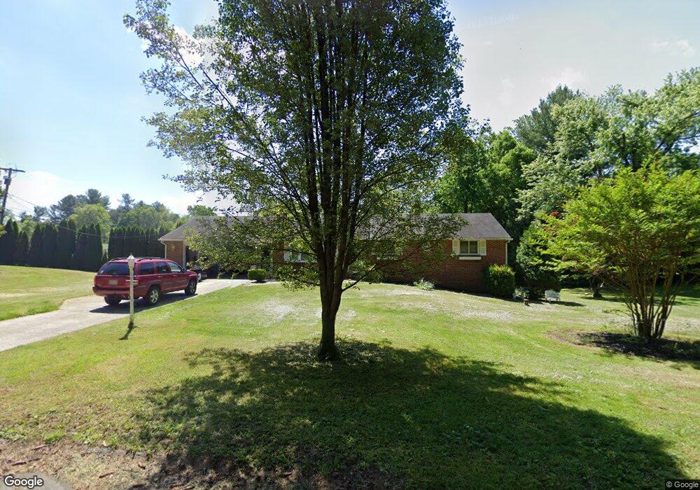
6509 Upland Rd Fork, MD 21051
Jacksonville NeighborhoodEstimated Value: $432,079 - $536,000
Studio
1
Bath
1,850
Sq Ft
$265/Sq Ft
Est. Value
About This Home
This home is located at 6509 Upland Rd, Fork, MD 21051 and is currently estimated at $490,270, approximately $265 per square foot. 6509 Upland Rd is a home located in Baltimore County with nearby schools including Kingsville Elementary School, Perry Hall Middle School, and Perry Hall High School.
Ownership History
Date
Name
Owned For
Owner Type
Purchase Details
Closed on
May 14, 2018
Sold by
Mangione Louis J
Bought by
Garcia Melissa Ann and Hovis Lisa Marie
Current Estimated Value
Purchase Details
Closed on
Apr 6, 1982
Sold by
Pinard Robert W
Bought by
Mangione Louis J and Mangione Sharon A
Create a Home Valuation Report for This Property
The Home Valuation Report is an in-depth analysis detailing your home's value as well as a comparison with similar homes in the area
Home Values in the Area
Average Home Value in this Area
Purchase History
| Date | Buyer | Sale Price | Title Company |
|---|---|---|---|
| Garcia Melissa Ann | -- | Metropolitan Title Co Inc | |
| Mangione Louis J | $72,000 | -- |
Source: Public Records
Tax History
| Year | Tax Paid | Tax Assessment Tax Assessment Total Assessment is a certain percentage of the fair market value that is determined by local assessors to be the total taxable value of land and additions on the property. | Land | Improvement |
|---|---|---|---|---|
| 2025 | $4,213 | $389,700 | -- | -- |
| 2024 | $4,213 | $359,600 | $0 | $0 |
| 2023 | $2,027 | $329,500 | $104,100 | $225,400 |
| 2022 | $3,886 | $318,533 | $0 | $0 |
| 2021 | $3,655 | $307,567 | $0 | $0 |
| 2020 | $3,655 | $296,600 | $104,100 | $192,500 |
| 2019 | $3,655 | $296,600 | $104,100 | $192,500 |
| 2018 | $3,655 | $296,600 | $104,100 | $192,500 |
| 2017 | $3,753 | $311,000 | $0 | $0 |
| 2016 | $2,315 | $298,333 | $0 | $0 |
| 2015 | $2,315 | $285,667 | $0 | $0 |
| 2014 | $2,315 | $273,000 | $0 | $0 |
Source: Public Records
Map
Nearby Homes
- 3 Blue Violet Ct
- 12801 Harford Rd
- 6031 Glen Arm Rd E
- 0 Sunshine Ave
- 7437 New Cut Rd
- 11603 Mohr Rd
- 12000 Belair Rd
- 5451 Glen Arm Rd
- 303 PARCEL Hillrise Ave
- 12343 Long Green Pike
- 2828 Harford Rd
- 12103 Cecilia Ct
- 12109 Cecilia Ct
- 12117 Cecilia Ct
- 5602 Patterson Rd
- 700 Remington Rd
- 4023 Miller Rd
- 2511 Easy St
- 803 Karylou Cir
- 5323 Sweet Air Rd
- 12536 Merritt Ave
- 12601 Louise Ave
- 12563 Louise Ave
- 12534 Merritt Ave
- 6511 Upland Rd
- 6508 Upland Rd
- 12603 Louise Ave
- 12532 Merritt Ave
- 6505 Upland Rd
- 12600 Louise Ave
- 12658 Wilson Ave
- 12533 Merritt Ave
- 12530 Merritt Ave
- 3911 Louise Ave
- 3911 Louise Ave
- 12560 Louise Ave
- 12602 Louise Ave
- 12605 Louise Ave
- 12700 Wilson Ave
- 12656 Wilson Ave
Your Personal Tour Guide
Ask me questions while you tour the home.