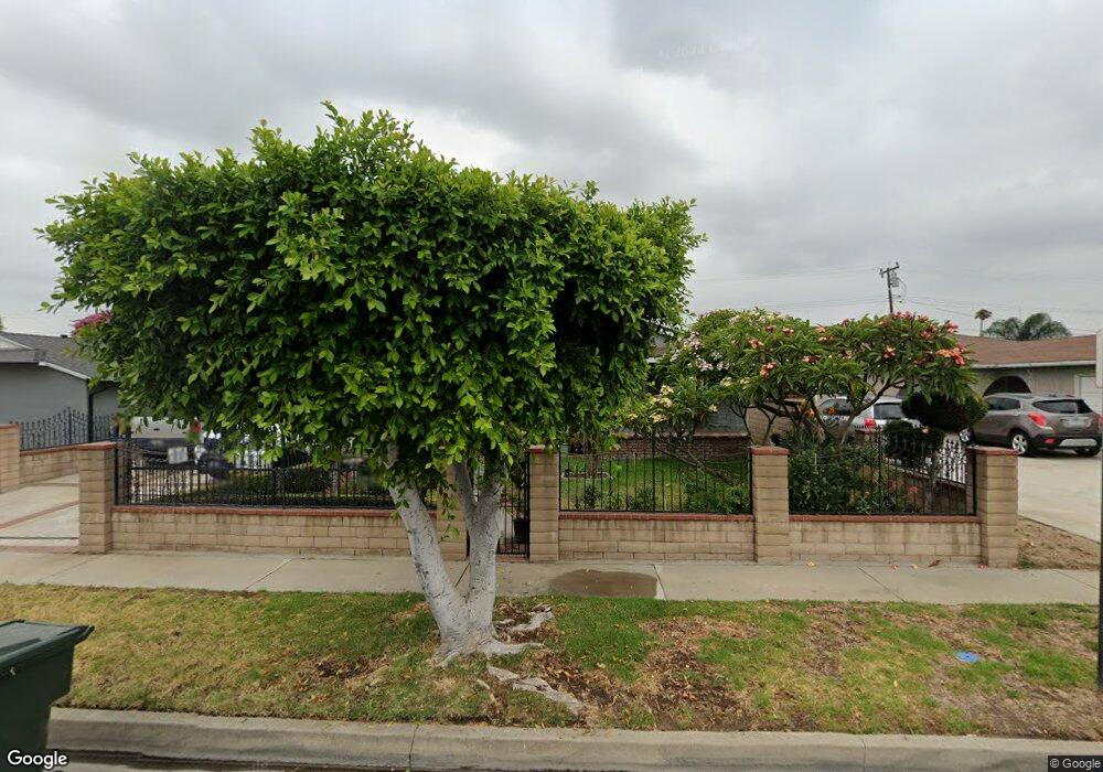
651 Clintwood Ave La Puente, CA 91744
Estimated Value: $682,440 - $734,000
3
Beds
2
Baths
991
Sq Ft
$715/Sq Ft
Est. Value
About This Home
This home is located at 651 Clintwood Ave, La Puente, CA 91744 and is currently estimated at $708,610, approximately $715 per square foot. 651 Clintwood Ave is a home located in Los Angeles County with nearby schools including Sparks Middle School, La Puente High School, and Hillside Baptist Academy.
Ownership History
Date
Name
Owned For
Owner Type
Purchase Details
Closed on
Sep 23, 2016
Sold by
Baez Rodolfo
Bought by
Baez Rodolfo and Baez Norma
Current Estimated Value
Home Financials for this Owner
Home Financials are based on the most recent Mortgage that was taken out on this home.
Original Mortgage
$130,000
Outstanding Balance
$103,839
Interest Rate
3.43%
Mortgage Type
New Conventional
Estimated Equity
$604,771
Purchase Details
Closed on
Aug 26, 1998
Sold by
Sylvester Mary E
Bought by
Baez Rodolfo
Create a Home Valuation Report for This Property
The Home Valuation Report is an in-depth analysis detailing your home's value as well as a comparison with similar homes in the area
Home Values in the Area
Average Home Value in this Area
Purchase History
| Date | Buyer | Sale Price | Title Company |
|---|---|---|---|
| Baez Rodolfo | -- | Title 365 Coraopolis | |
| Baez Rodolfo | -- | Title 365 | |
| Baez Rodolfo | -- | -- |
Source: Public Records
Mortgage History
| Date | Status | Borrower | Loan Amount |
|---|---|---|---|
| Open | Baez Rodolfo | $130,000 |
Source: Public Records
Tax History Compared to Growth
Tax History
| Year | Tax Paid | Tax Assessment Tax Assessment Total Assessment is a certain percentage of the fair market value that is determined by local assessors to be the total taxable value of land and additions on the property. | Land | Improvement |
|---|---|---|---|---|
| 2025 | $3,604 | $272,503 | $188,647 | $83,856 |
| 2024 | $3,604 | $267,161 | $184,949 | $82,212 |
| 2023 | $3,515 | $261,923 | $181,323 | $80,600 |
| 2022 | $3,416 | $256,788 | $177,768 | $79,020 |
| 2021 | $3,354 | $251,754 | $174,283 | $77,471 |
| 2019 | $3,261 | $244,288 | $169,114 | $75,174 |
| 2018 | $3,109 | $239,499 | $165,799 | $73,700 |
| 2016 | $2,886 | $230,201 | $159,362 | $70,839 |
| 2015 | $2,833 | $226,744 | $156,969 | $69,775 |
| 2014 | $2,792 | $222,304 | $153,895 | $68,409 |
Source: Public Records
Map
Nearby Homes
- 736 Tonopah Ave
- 14612 Hutchcroft St
- 14421 Flynn St
- 544 N Orange Ave Unit B
- 750 Glenshaw Dr
- 932 Shadydale Ave
- 822 Greenberry Dr
- 829 Foxworth Ave
- 14940 Beckner St
- 14972 Giordano St
- 610 Willow Ave
- 452 Willow Ave
- 357 Cadbrook Dr
- 335 Willow Ave
- 13903 Moccasin St
- 1828 Stargaze Dr
- 979 Willow Ave Unit 31
- 943 Willow Ave
- 1528 W Delvale St
- 1260 Greenberry Dr
- 657 Clintwood Ave
- 645 Clintwood Ave
- 650 Cabana Ave
- 661 Clintwood Ave
- 639 Clintwood Ave
- 644 Cabana Ave
- 656 Cabana Ave
- 638 Cabana Ave
- 660 Cabana Ave
- 667 Clintwood Ave
- 633 Clintwood Ave
- 648 Clintwood Ave
- 656 Clintwood Ave
- 642 Clintwood Ave
- 666 Cabana Ave
- 14505 Lassalette St
- 14534 Hutchcroft St
- 703 Clintwood Ave
- 14531 Lassalette St
- 702 Cabana Ave