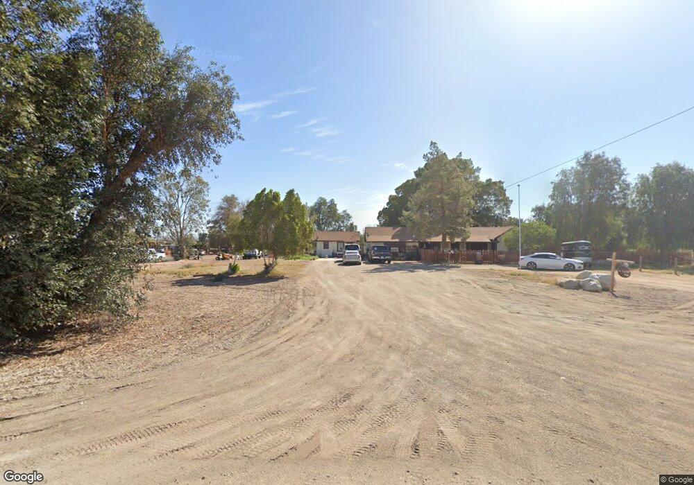
6510 Sperry Rd Calipatria, CA 92233
Estimated Value: $296,000 - $489,000
Studio
--
Bath
1,973
Sq Ft
$194/Sq Ft
Est. Value
About This Home
This home is located at 6510 Sperry Rd, Calipatria, CA 92233 and is currently estimated at $382,920, approximately $194 per square foot. 6510 Sperry Rd is a home located in Imperial County with nearby schools including Fremont Primary School, Grace Smith Elementary School, and Bill E. Young Jr. Middle School.
Ownership History
Date
Name
Owned For
Owner Type
Purchase Details
Closed on
Sep 13, 2012
Sold by
Self Martha J
Bought by
Self Martha Jeanne
Current Estimated Value
Purchase Details
Closed on
Feb 4, 1998
Sold by
Haggarty Leo P and Haggarty Jeannette C
Bought by
Self Edgar R and Self Martha J
Home Financials for this Owner
Home Financials are based on the most recent Mortgage that was taken out on this home.
Original Mortgage
$133,000
Interest Rate
7.06%
Mortgage Type
Purchase Money Mortgage
Create a Home Valuation Report for This Property
The Home Valuation Report is an in-depth analysis detailing your home's value as well as a comparison with similar homes in the area
Home Values in the Area
Average Home Value in this Area
Purchase History
| Date | Buyer | Sale Price | Title Company |
|---|---|---|---|
| Self Martha Jeanne | -- | None Available | |
| Self Edgar R | $150,000 | Chicago Title Co |
Source: Public Records
Mortgage History
| Date | Status | Borrower | Loan Amount |
|---|---|---|---|
| Previous Owner | Self Edgar R | $133,000 |
Source: Public Records
Tax History
| Year | Tax Paid | Tax Assessment Tax Assessment Total Assessment is a certain percentage of the fair market value that is determined by local assessors to be the total taxable value of land and additions on the property. | Land | Improvement |
|---|---|---|---|---|
| 2025 | $3,141 | $239,484 | $140,502 | $98,982 |
| 2023 | $3,141 | $230,188 | $135,048 | $95,140 |
| 2022 | $2,902 | $225,675 | $132,400 | $93,275 |
| 2021 | $2,912 | $221,251 | $129,804 | $91,447 |
| 2020 | $2,852 | $218,984 | $128,474 | $90,510 |
| 2019 | $2,802 | $214,691 | $125,955 | $88,736 |
| 2018 | $2,766 | $210,483 | $123,486 | $86,997 |
| 2017 | $2,611 | $206,357 | $121,065 | $85,292 |
| 2016 | $2,659 | $202,312 | $118,692 | $83,620 |
| 2015 | $2,508 | $199,274 | $116,910 | $82,364 |
| 2014 | $2,460 | $195,371 | $114,620 | $80,751 |
Source: Public Records
Map
Nearby Homes
- 0 N2 of Se4 of Se4 of Sec 29 T10s-R15e 20ac Unit 25522007IC
- 316 W Barbara St
- 222 N Lake Ave
- 0 024-260-003-000 Unit IG26039354
- 0 024260003 Unit 26001571
- 430 N Park Ave
- 206 W Date St
- 146 W Alamo St
- 669 E Bonita St
- 0 E Church St
- 0 E Church St Unit 22 240025789
- 0 Alamo & Brown Unit 25488125IC
- 0 Alamo & Brown Unit 25488109IC
- 501 Main St
- 526 E Delta St
- 0 Freeman St Unit NDP2408260
- 655 Main St
- 620 E Bonita St
- 7704 Blair Rd
- 140
- 6505 Sperry Rd
- 6520 Sperry Rd
- 77 W Eddins Rd Unit 32
- 77 W Eddins Rd Unit 31
- 77 W Eddins Rd
- 77 W Eddins Rd
- 77 W Eddins Rd
- 77 W Eddins Rd
- 68 W Eddins Rd
- 64 W Eddins Rd
- 85 W Eddins Rd Unit 87
- 6507 Riley Rd
- 6541 Sperry Rd
- 6515 Riley Rd
- 6523 Riley Rd Unit 6525
- 6485 Riley Rd
- 6551 Sperry Rd
- 0 N2 of Se4 of Se4 of Sec 29 T10s-R15e 20ac Unit 23332497IC
- 6420 Sperry Rd
- 6421 Sperry Rd
Your Personal Tour Guide
Ask me questions while you tour the home.