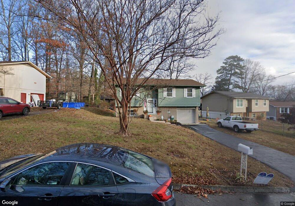
6511 Rock Bridge Ln Knoxville, TN 37921
West Knoxville NeighborhoodEstimated Value: $270,283 - $306,000
3
Beds
2
Baths
1,444
Sq Ft
$201/Sq Ft
Est. Value
About This Home
This home is located at 6511 Rock Bridge Ln, Knoxville, TN 37921 and is currently estimated at $289,571, approximately $200 per square foot. 6511 Rock Bridge Ln is a home located in Knox County with nearby schools including Amherst Elementary School, Northwest Middle School, and Karns High School.
Ownership History
Date
Name
Owned For
Owner Type
Purchase Details
Closed on
Dec 18, 1997
Sold by
Flatt J D and Flatt Shirley Ann
Bought by
Yurek David and Yurek Cheryl
Current Estimated Value
Home Financials for this Owner
Home Financials are based on the most recent Mortgage that was taken out on this home.
Original Mortgage
$57,800
Interest Rate
7.26%
Mortgage Type
Purchase Money Mortgage
Purchase Details
Closed on
Jan 29, 1997
Sold by
Sheckles Brenda F
Bought by
Ann Flatt Shirley
Create a Home Valuation Report for This Property
The Home Valuation Report is an in-depth analysis detailing your home's value as well as a comparison with similar homes in the area
Home Values in the Area
Average Home Value in this Area
Purchase History
| Date | Buyer | Sale Price | Title Company |
|---|---|---|---|
| Yurek David | $68,000 | Knox Title | |
| Ann Flatt Shirley | $55,000 | -- |
Source: Public Records
Mortgage History
| Date | Status | Borrower | Loan Amount |
|---|---|---|---|
| Closed | Yurek David | $57,800 |
Source: Public Records
Tax History Compared to Growth
Tax History
| Year | Tax Paid | Tax Assessment Tax Assessment Total Assessment is a certain percentage of the fair market value that is determined by local assessors to be the total taxable value of land and additions on the property. | Land | Improvement |
|---|---|---|---|---|
| 2024 | $726 | $33,675 | $0 | $0 |
| 2023 | $726 | $33,675 | $0 | $0 |
| 2022 | $1,249 | $33,675 | $0 | $0 |
| 2021 | $1,259 | $27,475 | $0 | $0 |
| 2020 | $1,259 | $27,475 | $0 | $0 |
| 2019 | $1,259 | $27,475 | $0 | $0 |
| 2018 | $1,259 | $27,475 | $0 | $0 |
| 2017 | $1,259 | $27,475 | $0 | $0 |
| 2016 | $1,183 | $0 | $0 | $0 |
| 2015 | $1,183 | $0 | $0 | $0 |
| 2014 | $1,183 | $0 | $0 | $0 |
Source: Public Records
Map
Nearby Homes
- 5812 Wexford Ln
- 6721 Ellesmere Dr NW
- 6513 Trousdale Rd
- 6416 Trousdale Rd
- 6400 Mill Creek Ln Unit 3
- 2834 Barnard Rd
- 6905 Ellesmere Dr
- 6409 Shrewsbury Dr NW
- 6823 Silent Brook Ln
- 0 Orabella Rd Unit 1308917
- 2308 Woods Smith Rd
- 6011 Rolling Ridge Dr
- 5400 Summitridge Ln
- 2823 Sood Rd
- 2834 Bradley Lake Ln NW
- 4433 Balraj Ln
- 5405 Crooked Pine Ln
- 2453 Maple Crest Ln
- 6008 Autumn Oaks Ln
- 2444 Brierbrook Ln
- 6505 Rock Bridge Ln
- 6517 Rock Bridge Ln
- 6524 Hunters Glen Dr
- 6520 Hunters Glen Dr
- 6601 Rock Bridge Ln
- 6528 Hunters Glen Dr
- 6501 Rock Bridge Ln
- 6516 Hunters Glen Dr
- 6508 Rockbridge Ln NW
- 6516 Rock Bridge Ln
- 6512 Rock Bridge Ln
- 6520 Rock Bridge Ln
- 6605 Rock Bridge Ln
- 6504 Rockbridge Ln NW
- 6508 Rock Bridge Ln
- 6600 Rock Bridge Ln
- 6500 Rock Bridge Ln
- 6532 Hunters Glen Dr
- 6519 Hunters Glen Dr
- 6512 Hunters Glen Dr