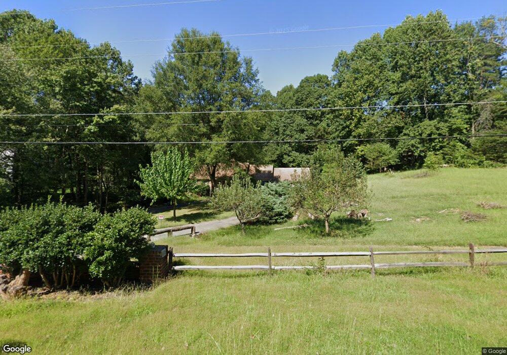
6512 Shamrock Rd Manassas, VA 20112
Estimated Value: $603,586 - $658,000
3
Beds
2
Baths
1,388
Sq Ft
$455/Sq Ft
Est. Value
About This Home
This home is located at 6512 Shamrock Rd, Manassas, VA 20112 and is currently estimated at $631,897, approximately $455 per square foot. 6512 Shamrock Rd is a home located in Prince William County with nearby schools including Coles Elementary School, Charles J. Colgan Senior High School, and Louise A. Benton Middle School.
Ownership History
Date
Name
Owned For
Owner Type
Purchase Details
Closed on
Apr 22, 2004
Sold by
Merchant Dennis W
Bought by
Lott Douglas D
Current Estimated Value
Home Financials for this Owner
Home Financials are based on the most recent Mortgage that was taken out on this home.
Original Mortgage
$292,000
Outstanding Balance
$134,915
Interest Rate
5.4%
Mortgage Type
New Conventional
Estimated Equity
$496,982
Create a Home Valuation Report for This Property
The Home Valuation Report is an in-depth analysis detailing your home's value as well as a comparison with similar homes in the area
Home Values in the Area
Average Home Value in this Area
Purchase History
| Date | Buyer | Sale Price | Title Company |
|---|---|---|---|
| Lott Douglas D | $365,000 | -- |
Source: Public Records
Mortgage History
| Date | Status | Borrower | Loan Amount |
|---|---|---|---|
| Open | Lott Douglas D | $292,000 |
Source: Public Records
Tax History Compared to Growth
Tax History
| Year | Tax Paid | Tax Assessment Tax Assessment Total Assessment is a certain percentage of the fair market value that is determined by local assessors to be the total taxable value of land and additions on the property. | Land | Improvement |
|---|---|---|---|---|
| 2025 | $5,152 | $554,400 | $222,400 | $332,000 |
| 2024 | $5,152 | $518,100 | $208,000 | $310,100 |
| 2023 | $5,027 | $483,100 | $192,500 | $290,600 |
| 2022 | $4,932 | $445,300 | $176,500 | $268,800 |
| 2021 | $4,670 | $386,700 | $153,200 | $233,500 |
| 2020 | $5,462 | $352,400 | $139,300 | $213,100 |
| 2019 | $5,552 | $358,200 | $142,400 | $215,800 |
| 2018 | $4,523 | $374,600 | $147,000 | $227,600 |
| 2017 | $4,356 | $351,900 | $137,200 | $214,700 |
| 2016 | $4,795 | $392,100 | $152,200 | $239,900 |
| 2015 | $4,031 | $351,300 | $135,700 | $215,600 |
| 2014 | $4,031 | $321,200 | $123,300 | $197,900 |
Source: Public Records
Map
Nearby Homes
- 13647 Van Doren Rd
- 13660 Van Doren Rd
- 6435 Apple Tree Ct
- 5886 Rhode Island Dr
- 13528 Persian Ct
- 5833 Rhode Island Dr
- 13750 Ensenada Ct
- 6110 Oust Ln
- 6013 Pepco Ct
- 13305 Kahns Rd
- 13289 Orangewood Dr
- 13425 Princedale Dr
- 13128 Kahns Rd
- 14452 Alps Dr
- 13044 Terminal Way
- 12704 Purcell Rd
- 13501 Photo Dr
- 6233 Alistair Dr
- 13241 Nickleson Dr
- 13217 Nickleson Dr
- 6510 Shamrock Rd
- 13407 Carrageen Dr
- 6509 Shamrock Rd
- 6508 Shamrock Rd
- 6511 Shamrock Rd
- 13413 Carrageen Dr
- 13410 Carrageen Dr
- 6506 Shamrock Rd
- 13424 Celtic Ln
- 13408 Carrageen Dr
- 13406 Spriggs Rd
- 6504 Shamrock Rd
- 13421 Celtic Ln
- 13408 Spriggs Rd
- 13405 Carrageen Dr
- 13406 Carrageen Dr
- 6502 Obrien Ct
- 13417 Carrageen Dr
- 13414 Carrageen Dr
- 13517 Zachary Taylor Ct