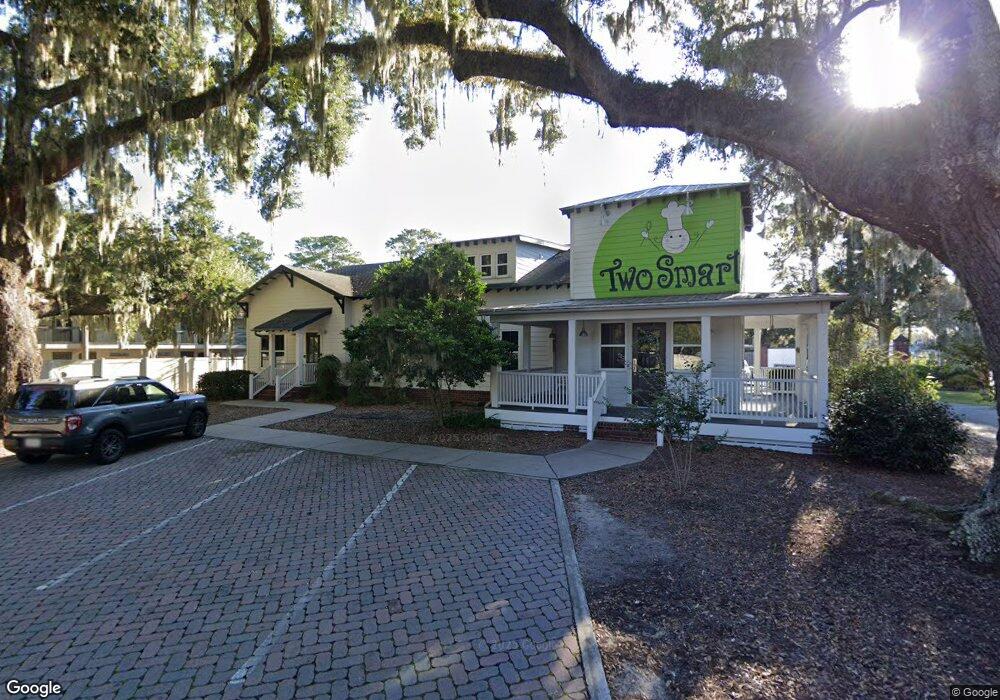
6512 White Bluff Rd Unit 3 Savannah, GA 31405
Oakdale NeighborhoodEstimated Value: $1,936,314
3
Beds
--
Bath
2,100
Sq Ft
$922/Sq Ft
Est. Value
About This Home
This home is located at 6512 White Bluff Rd Unit 3, Savannah, GA 31405 and is currently estimated at $1,936,314, approximately $922 per square foot. 6512 White Bluff Rd Unit 3 is a home located in Chatham County with nearby schools including Heard Elementary School, Myers Middle School, and Jenkins High School.
Ownership History
Date
Name
Owned For
Owner Type
Purchase Details
Closed on
Dec 30, 2021
Sold by
D & A White Bluff Llc
Bought by
Green Growth 2 Llc
Current Estimated Value
Purchase Details
Closed on
Feb 11, 2014
Sold by
Rock David J
Bought by
D & A White Bluff Llc
Purchase Details
Closed on
Jul 5, 2007
Sold by
Not Provided
Bought by
Rock David J and Rock Annette L
Create a Home Valuation Report for This Property
The Home Valuation Report is an in-depth analysis detailing your home's value as well as a comparison with similar homes in the area
Home Values in the Area
Average Home Value in this Area
Purchase History
| Date | Buyer | Sale Price | Title Company |
|---|---|---|---|
| Green Growth 2 Llc | $1,425,000 | -- | |
| D & A White Bluff Llc | -- | -- | |
| Rock David J | -- | -- |
Source: Public Records
Tax History Compared to Growth
Tax History
| Year | Tax Paid | Tax Assessment Tax Assessment Total Assessment is a certain percentage of the fair market value that is determined by local assessors to be the total taxable value of land and additions on the property. | Land | Improvement |
|---|---|---|---|---|
| 2025 | $30,966 | $532,880 | $272,160 | $260,720 |
| 2024 | $30,966 | $532,880 | $272,160 | $260,720 |
| 2023 | $5,290 | $510,080 | $272,160 | $237,920 |
| 2022 | $6,223 | $510,080 | $272,160 | $237,920 |
| 2021 | $27,009 | $457,960 | $216,480 | $241,480 |
| 2020 | $15,737 | $0 | $0 | $0 |
| 2019 | $26,434 | $15,737 | $0 | $0 |
| 2018 | $28,752 | $482,120 | $220,600 | $261,520 |
| 2017 | $20,107 | $482,120 | $220,600 | $261,520 |
| 2016 | $14,065 | $482,120 | $220,600 | $261,520 |
| 2014 | $24,682 | $482,120 | $0 | $0 |
Source: Public Records
Map
Nearby Homes
- 6501 Habersham St Unit 12
- 3 Jackson Ct
- 232 Stephenson Ave Unit 3E
- 204 Wheeler St
- 206 Stuart St
- 305 Mclaws St
- 504 Wheeler St
- 232 Groveland Cir
- 503 Stuart Ct
- 9 Hampstead Ave
- 7203 Van Buren Ave
- 624 Mosby St
- 5 Linden Dr
- 214 Oxford Dr
- 709 Beauregard St
- 701 Lee Blvd
- 114 E Derenne Ave
- 0 Highway 21 Unit 10607358
- 43 Colony Park Dr
- 25 Colony Park Dr
- 0 Stephenson Ave
- 103 Hood St
- 104 Stephenson Ave
- 6800 Abercorn St
- 130 Stephenson Ave
- 130 Stephenson Ave Unit 101
- 130 Stephenson Ave Unit 204
- 130 Stephenson Ave Unit 201
- 130 Stephenson Ave Unit 202
- 130 Stephenson Ave Unit 203
- 130 Stephenson Ave Unit 102
- 6501 Habersham St Unit 11 A
- 6501 Habersham St Unit 4
- 6501 Habersham St Unit 2
- 6501 Habersham St Unit 6
- 6501 Habersham St Unit 20
- 6501 Habersham St Unit 21
- 6501 Habersham St Unit 26
- 6501 Habersham St Unit 19
- 6501 Habersham St Unit 24