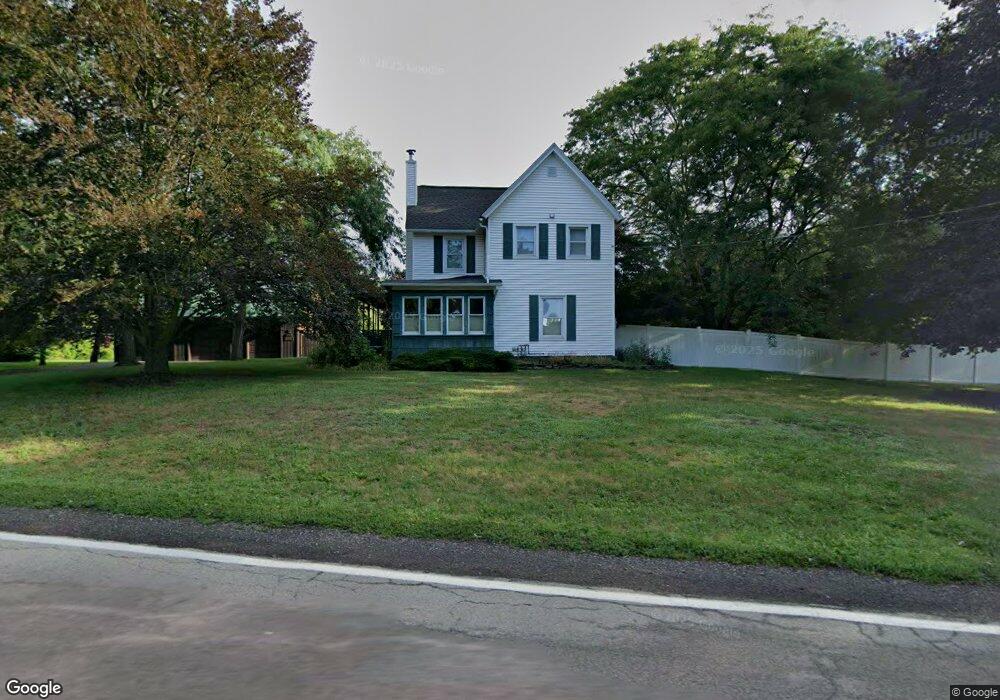
6513 Wick Rd Lockport, NY 14094
Estimated Value: $396,000 - $472,000
4
Beds
3
Baths
2,126
Sq Ft
$199/Sq Ft
Est. Value
About This Home
This home is located at 6513 Wick Rd, Lockport, NY 14094 and is currently estimated at $423,478, approximately $199 per square foot. 6513 Wick Rd is a home located in Niagara County with nearby schools including Newfane Elementary School, Newfane Middle School, and Newfane Senior High School.
Ownership History
Date
Name
Owned For
Owner Type
Purchase Details
Closed on
Oct 5, 2018
Sold by
Skrlin Adam S and Skrlin Melissa
Bought by
Hahn David M
Current Estimated Value
Home Financials for this Owner
Home Financials are based on the most recent Mortgage that was taken out on this home.
Original Mortgage
$236,550
Outstanding Balance
$206,286
Interest Rate
4.5%
Mortgage Type
New Conventional
Estimated Equity
$217,192
Purchase Details
Closed on
Mar 29, 2011
Sold by
Skrlin Adam S
Bought by
Skrlin Adam S and Skrlin Melissa
Home Financials for this Owner
Home Financials are based on the most recent Mortgage that was taken out on this home.
Original Mortgage
$110,000
Interest Rate
5.04%
Mortgage Type
New Conventional
Create a Home Valuation Report for This Property
The Home Valuation Report is an in-depth analysis detailing your home's value as well as a comparison with similar homes in the area
Home Values in the Area
Average Home Value in this Area
Purchase History
| Date | Buyer | Sale Price | Title Company |
|---|---|---|---|
| Hahn David M | $249,000 | Stewart Title Insurance Comp | |
| Skrlin Adam S | -- | None Available |
Source: Public Records
Mortgage History
| Date | Status | Borrower | Loan Amount |
|---|---|---|---|
| Open | Hahn David M | $236,550 | |
| Previous Owner | Skrlin Adam S | $110,000 |
Source: Public Records
Tax History Compared to Growth
Tax History
| Year | Tax Paid | Tax Assessment Tax Assessment Total Assessment is a certain percentage of the fair market value that is determined by local assessors to be the total taxable value of land and additions on the property. | Land | Improvement |
|---|---|---|---|---|
| 2024 | $7,343 | $333,000 | $49,000 | $284,000 |
| 2023 | $7,092 | $303,000 | $38,000 | $265,000 |
| 2022 | $7,055 | $275,000 | $38,000 | $237,000 |
| 2021 | $7,546 | $233,900 | $27,000 | $206,900 |
| 2020 | $6,917 | $233,900 | $27,000 | $206,900 |
| 2019 | $4,804 | $196,000 | $27,000 | $169,000 |
| 2018 | $5,635 | $190,000 | $27,000 | $163,000 |
| 2017 | $4,804 | $160,000 | $27,000 | $133,000 |
| 2016 | $5,029 | $160,000 | $27,000 | $133,000 |
| 2015 | -- | $148,400 | $27,000 | $121,400 |
| 2014 | -- | $148,400 | $27,000 | $121,400 |
Source: Public Records
Map
Nearby Homes
- 6603 Mulligan Dr
- 6358 Ridge Rd
- 3902 Lockport Olcott Rd
- 4307 Lake Ave
- 4311 Lake Ave
- 4180 Day Rd
- 3708 Lockport Olcott Rd
- 3980 Ridgelea Dr
- 6077 Ridge Rd
- 6361 Old Niagara Rd Unit 6365
- 225 Center St
- 5986 Ridge Rd
- 82 Lake Ave
- 225 Olcott St
- 3732 Ewings Rd
- 166 Olcott St
- 2 Harwood St
- 42 Beverly Ave
- 7216 V/LOT Groff Wilson Rd
- 246 Clinton St