Estimated Value: $1,240,162
--
Bed
--
Bath
5,760
Sq Ft
$215/Sq Ft
Est. Value
About This Home
This home is located at 65147 N Highway 97 Unit B, Bend, OR 97701 and is currently estimated at $1,240,162, approximately $215 per square foot. 65147 N Highway 97 Unit B is a home located in Deschutes County with nearby schools including Tumalo Community School, Obsidian Middle School, and Ridgeview High School.
Ownership History
Date
Name
Owned For
Owner Type
Purchase Details
Closed on
Dec 16, 2019
Sold by
Rock Supremacy Llc
Bought by
Land Supremacy Llc
Current Estimated Value
Purchase Details
Closed on
May 2, 2019
Sold by
Mills Grant E
Bought by
Rock Supremacy Llc
Purchase Details
Closed on
Jun 12, 2008
Sold by
Cascade Machinery Co Inc
Bought by
Mills Grant E
Purchase Details
Closed on
Aug 2, 2005
Sold by
Mills Grant E and Mills Steve E
Bought by
Cascade Machinery Co Inc
Home Financials for this Owner
Home Financials are based on the most recent Mortgage that was taken out on this home.
Original Mortgage
$450,000
Interest Rate
5.46%
Mortgage Type
Credit Line Revolving
Create a Home Valuation Report for This Property
The Home Valuation Report is an in-depth analysis detailing your home's value as well as a comparison with similar homes in the area
Home Values in the Area
Average Home Value in this Area
Purchase History
| Date | Buyer | Sale Price | Title Company |
|---|---|---|---|
| Land Supremacy Llc | -- | None Available | |
| Rock Supremacy Llc | $750,000 | First American Title | |
| Mills Grant E | -- | None Available | |
| Cascade Machinery Co Inc | -- | First Amer Title Ins Co Or |
Source: Public Records
Mortgage History
| Date | Status | Borrower | Loan Amount |
|---|---|---|---|
| Previous Owner | Cascade Machinery Co Inc | $450,000 |
Source: Public Records
Tax History Compared to Growth
Tax History
| Year | Tax Paid | Tax Assessment Tax Assessment Total Assessment is a certain percentage of the fair market value that is determined by local assessors to be the total taxable value of land and additions on the property. | Land | Improvement |
|---|---|---|---|---|
| 2025 | $7,902 | $503,740 | -- | -- |
| 2024 | $7,556 | $489,070 | -- | -- |
| 2023 | $7,142 | $474,830 | $0 | $0 |
| 2022 | $6,571 | $447,580 | $0 | $0 |
| 2021 | $6,570 | $434,550 | $0 | $0 |
| 2020 | $6,245 | $434,550 | $0 | $0 |
| 2019 | $5,910 | $411,320 | $0 | $0 |
| 2018 | $5,769 | $399,340 | $0 | $0 |
| 2017 | $5,641 | $387,710 | $0 | $0 |
| 2016 | $5,578 | $376,420 | $0 | $0 |
| 2015 | $5,405 | $365,460 | $0 | $0 |
| 2014 | $5,264 | $354,820 | $0 | $0 |
Source: Public Records
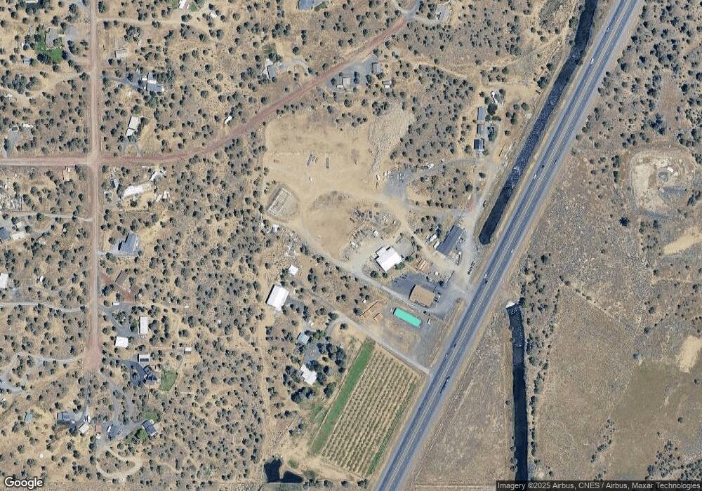
Map
Nearby Homes
- 65140 78th St
- 21260 Limestone Ave
- 65415 78th St
- 65432 78th St
- 65299 85th St
- 65043 85th St
- 65605 61st St
- 21085 Arid Ave
- 65280 94th St
- 21800 Katie Dr
- 20766 S Loop Place
- 21241 Zodiac Ln
- 64401 Deschutes Market Rd
- 64769 Saros Ln
- 64900 Hunnell Rd Unit 51
- 64950 Glacier View Dr
- 21115 Young Ave
- 65055 Old Bend Redmond Hwy
- 0 Tumalo Rd
- 64492 Sylvan Loop
- 65147 N Highway 97
- 65147 N Highway 97 Unit A
- 65137 N Highway 97
- 65175 N Highway 97
- 65115 N Highway 97
- 65185 N Highway 97
- 65230 73rd St
- 65233 73rd St
- 65150 76th St
- 65140 76th St
- 65240 73rd St
- 65174 76th St
- 65245 NW 73rd
- 65245 73rd St
- 65130 76th St
- 65180 76th St
- 65250 73rd St
- 65221 73rd St
- 65255 73rd St