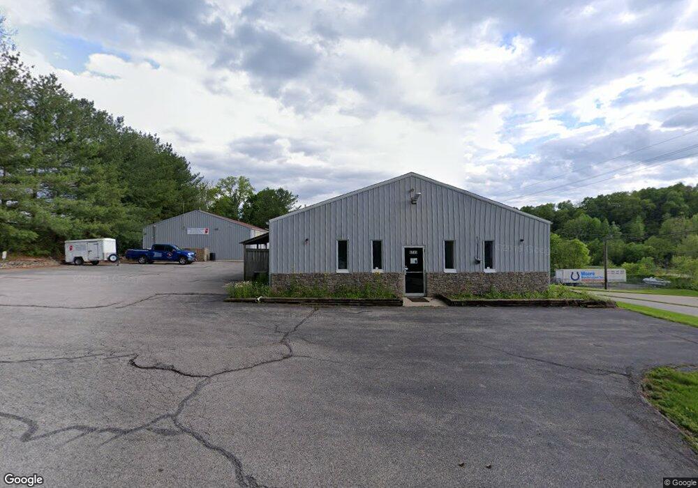
6515 S Empire Rd Bloomington, IN 47401
Estimated Value: $684,690
Studio
--
Bath
3,200
Sq Ft
$214/Sq Ft
Est. Value
About This Home
This home is located at 6515 S Empire Rd, Bloomington, IN 47401 and is currently estimated at $684,690, approximately $213 per square foot. 6515 S Empire Rd is a home located in Monroe County with nearby schools including Clear Creek Elementary School, Lora L. Batchelor Middle School, and Bloomington High School South.
Ownership History
Date
Name
Owned For
Owner Type
Purchase Details
Closed on
Oct 8, 2009
Sold by
Paul John and Paul Linda S
Bought by
Brooks Mark T and Brooks Kimberly L
Current Estimated Value
Home Financials for this Owner
Home Financials are based on the most recent Mortgage that was taken out on this home.
Original Mortgage
$249,000
Outstanding Balance
$160,182
Interest Rate
5.19%
Mortgage Type
Commercial
Estimated Equity
$524,508
Create a Home Valuation Report for This Property
The Home Valuation Report is an in-depth analysis detailing your home's value as well as a comparison with similar homes in the area
Home Values in the Area
Average Home Value in this Area
Purchase History
| Date | Buyer | Sale Price | Title Company |
|---|---|---|---|
| Brooks Mark T | -- | None Available |
Source: Public Records
Mortgage History
| Date | Status | Borrower | Loan Amount |
|---|---|---|---|
| Open | Brooks Mark T | $249,000 |
Source: Public Records
Tax History
| Year | Tax Paid | Tax Assessment Tax Assessment Total Assessment is a certain percentage of the fair market value that is determined by local assessors to be the total taxable value of land and additions on the property. | Land | Improvement |
|---|---|---|---|---|
| 2025 | $6,626 | $344,900 | $150,000 | $194,900 |
| 2024 | $6,626 | $346,900 | $150,000 | $196,900 |
| 2023 | $3,967 | $244,600 | $100,000 | $144,600 |
| 2022 | $3,612 | $249,300 | $100,000 | $149,300 |
| 2021 | $3,566 | $223,000 | $100,000 | $123,000 |
| 2020 | $4,046 | $242,800 | $100,000 | $142,800 |
| 2019 | $3,395 | $242,800 | $100,000 | $142,800 |
| 2018 | $3,428 | $242,800 | $100,000 | $142,800 |
| 2017 | $3,660 | $259,700 | $100,000 | $159,700 |
| 2016 | $3,596 | $259,700 | $100,000 | $159,700 |
| 2014 | $3,328 | $249,400 | $100,000 | $149,400 |
Source: Public Records
Map
Nearby Homes
- 6952 S Ketcham Rd
- 7084 S National Point Rd
- 2110 W Dark Hollow Rd
- 5918 S Foxwood Ln
- 5932 S Catherine St
- 845 E Alexis Way
- 5920 S Phyllis St
- 1414 E Commander Ct
- 5904 S Phyllis St
- 5494 S Brigadier Blvd
- 2133 W Cole Ct Unit 3
- 5735 S Fairfax Rd
- 2102 S Sunday Dr Unit 1
- 329 W White Pine Ct
- 2302 S Sunday Dr
- 5376 S Fairfax Rd
- 2114 W Selc Ct
- 1787 E Cherry Ln
- 1901 E Lukes Ct
- 4995 S College Dr
- 6520 S Empire Rd
- 6515 S Empire Rd
- 6520 S Empire Rd
- 6520 S Empire Rd Unit 1 & 2
- 6520 S Empire Rd Unit 2
- 6520 S Empire Rd Unit 1
- 6510 S Empire Rd
- 6522 S Empire Rd
- 6535 S Empire Rd
- 6445 S Empire Rd
- 6313 S Empire Rd
- 489 E Empire Mill Rd
- 6311 S Empire Rd
- 497 E Empire Mill Rd
- 511 E Empire Mill Rd
- 6161 S Empire Rd
- 551 E Empire Mill Rd
- 6755 S Old State 37 Rd
- 0 Hwy 37 Unit 2820707
- 630 E Empire Mill Rd
Your Personal Tour Guide
Ask me questions while you tour the home.